Olympic Campground
The campground is open and accepting reservations through ReserveCalifornia.com. Sites accommodate RVs up to 36 feet with full hookups available.
Flood Advisory issued November 19 at 8:38AM PST until November 19 at 4:45PM PST by NWS Sacramento CA
* WHAT...Coastal Flooding from abnormally high tides. * WHERE...Low-lying areas along the Sacramento River, San Joaquin River, and other Delta waterways in Solano, Yolo, Sacramento, and San Joaquin Counties. * WHEN...Until 445 PM PST Thursday. * IMPACTS...Flooding of low-lying areas including parks, lots, roads, marshes, and vulnerable islands. Erosion along levees is possible. * ADDITIONAL DETAILS... - At 836 AM PST, NWS meteorologists have determined that abnormally high tides will result in Coastal Flooding. - The highest tides forecast each day are (all times local time): * Port Chicago: 1.2 ft above normal (6.1 ft MLLW) at 9:41 AM Thu 11/19, 1.5 ft above normal (6.4 ft MLLW) at 10:07 AM Fri 11/20, 1.9 ft above normal (6.8 ft MLLW) at 10:32 AM Sat 11/21, and 2.3 ft above normal (7.2 ft MLLW) at 11:01 AM Sun 11/22. * West Sacramento: 1.5 ft above normal (5.9 ft MLLW) at 12:37 PM Thu 11/19, 1.8 ft above normal (6.2 ft MLLW) at 1:04 PM Fri 11/20, 2.2 ft above normal (6.5 ft MLLW) at 1:35 PM Sat 11/21, and 2.5 ft above normal (6.9 ft MLLW) at 2:09 PM Sun 11/22. * Rio Vista (Datum NAVD88): +7.4 ft at 12:00 PM Thu 11/19, +7.0 ft at 12:00 PM Fri 11/20, +7.1 ft at 1:00 PM Sat 11/21, and +7.3 ft at 1:00 PM Sun 11/22. - These predictions include up to +2.0 feet of storm surge that will enhance the astronomical tide and flooding threat. Timing of high tide may vary by several hours throughout the San Francisco Bay and Delta. - Real-time water levels and latest forecasts are available at: * Port Chicago: https://tidesandcurrents.noaa.gov/noaatidepre dictions.html?id=9415144 * West Sacramento: https://tidesandcurrents.noaa.gov/noaatide predictions.html?id=9416131 * Rio Vista: https://water.noaa.gov/gauges/RVBC1
About
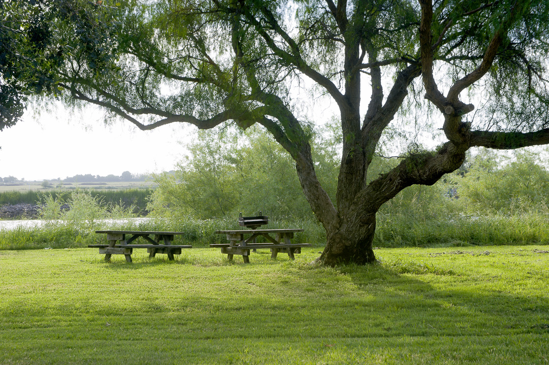
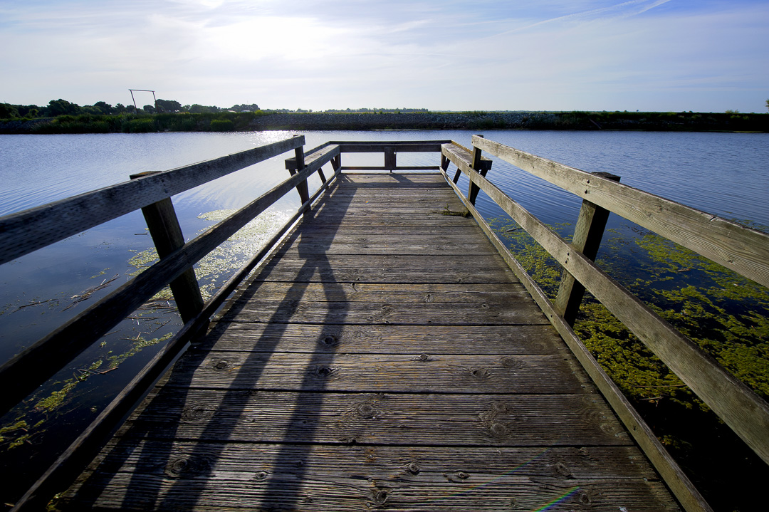
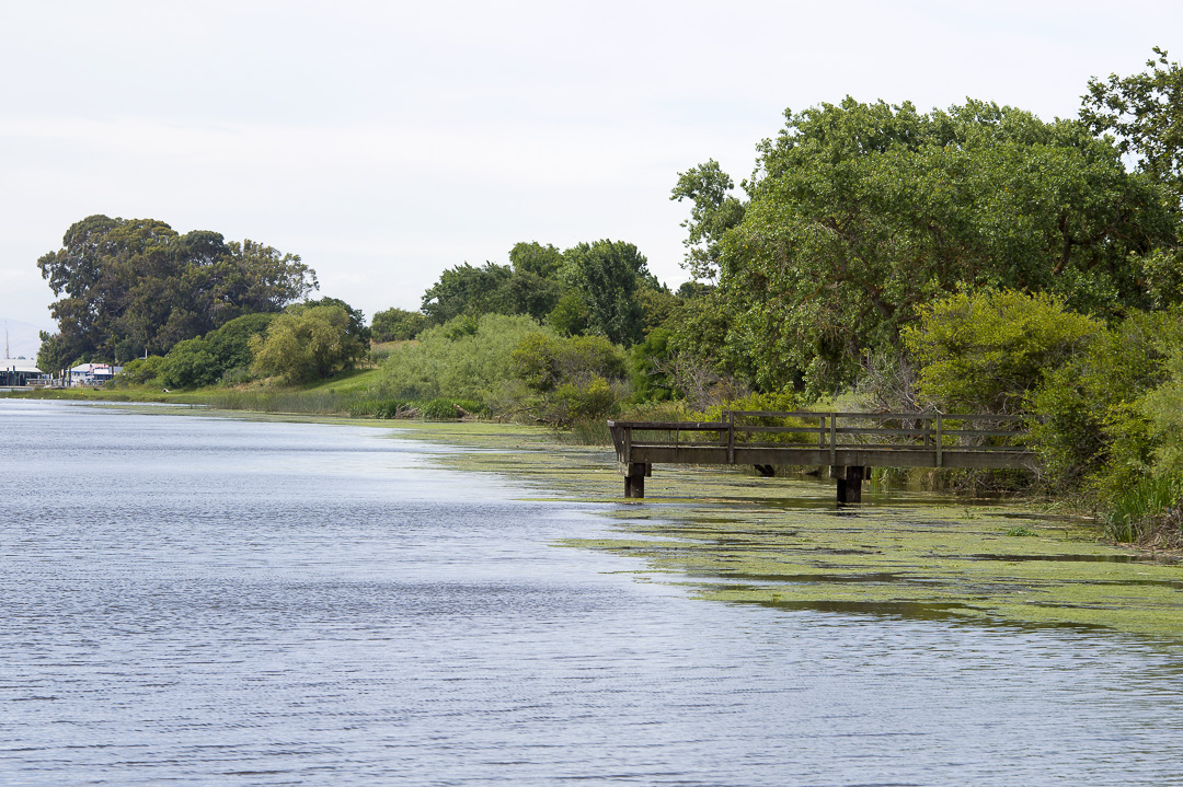
Olympic Campground occupies sites 103-115 within Brannan Island State Recreation Area, a 336-acre park situated in the heart of the Sacramento-San Joaquin River Delta. Located on Highway 160 between the Bay Area and Sacramento, the park provides direct access to over 1,000 miles of navigable waterways. The Olympic Loop offers full hookup sites with electric, water, and sewer connections, accommodating RVs up to 36 feet. The campground features paved pads with picnic tables and fire rings at each site. Facilities include flush toilets, showers, drinking water, and an RV dump station. The park's ten-lane boat launch provides easy access to fishing, waterskiing, windsurfing, and kayaking. The delta environment supports diverse wildlife including river otters, beavers, and numerous bird species, making it a popular destination for birding and nature observation. Brannan Island State Recreation Area is known for its warm summer weather and proximity to both the Bay Area and Sacramento, making it a convenient weekend destination for water recreation enthusiasts. The park's sloughs and channels offer protected waters for swimming and paddling.
Directions
From Sacramento, take Highway 160 south toward Rio Vista. The park entrance is located a few miles south of Rio Vista on Highway 160. From the Bay Area, take Highway 4 east to Antioch, then Highway 160 north to the park.
Amenities
| Water | Yes |
| Fires Allowed | Yes |
| Toilets | Yes |
| Dump Station | Yes |
| Wifi | — |
| Pets Allowed | Yes |
| Showers | Yes |
| Electric Hookups | Yes |
| Water Hookups | Yes |
| Sewer Hookups | Yes |
| Camp Store | — |
| Price | $49 |
Vehicle
| Max RV Length | 36ft |
| Max Trailer Length | 36ft |
| Big Rig Friendly | No |
| Pull Through Sites | No |
Contact
| Phone | +1 (916) 777-7701 |
Cell Service
| AT&T | Yes |
| Verizon | Yes |
| T-Mobile | Yes |
Availability
Photos


Community Posts
No posts yet. Be the first to share your experience!