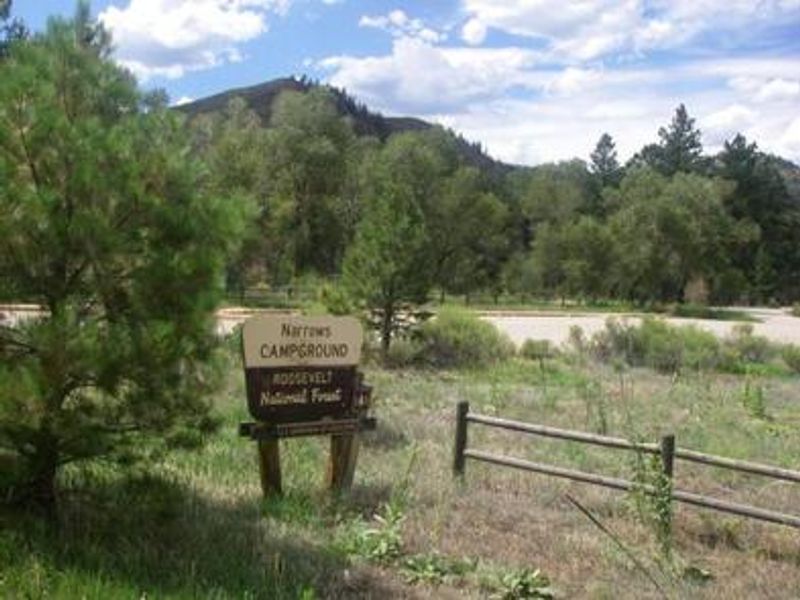
Narrows
Open year-round. Drinking water is available through late September only. Sites are reservable through Recreation.gov with some first-come-first-served availability. Fire restrictions may apply during high fire danger periods.
Air Quality Alert issued July 20 at 4:10PM MDT by NWS Denver CO
The Colorado Department of Public Health and Environment has issued the following... WHAT...Ozone Action Day Alert. WHERE...Douglas, Jefferson, Denver, western Arapahoe, western Adams, Broomfield, Boulder, Larimer, and Weld Counties WHEN...400 PM Monday July 20 to 400 PM Tuesday July 21 IMPACTS...Ozone Action Day Alert is now in effect for the Front Range Urban Corridor. Hot and stagnant weather conditions will result in ozone concentrations reaching the Unhealthy for Sensitive Groups category both Monday and Tuesday during the afternoon and evening hours. For Colorado air quality conditions, forecasts, and advisories, visit: https://www.colorado.gov/airquality/colorado_summary.aspx If possible, please help us reduce ozone pollution by limiting driving gas and diesel-powered vehicles until at least 4 p.m. Tuesday, July 21, 2026. Colorado is also addressing ozone pollution through state policies. For more information about health impacts and how ozone pollution forms in Colorado, visit: https://cdphe.colorado.gov/ozone- pollution-and-your-health HEALTH INFORMATION...Increasing likelihood of respiratory symptoms and breathing discomfort in active children and adults and people with lung disease, such as asthma. Active children and adults, and people with lung disease, such as asthma, should reduce prolonged or heavy outdoor exertion.
Wheeled Vehicles in Wilderness
This order describes the prohibition of wheeled vehicles in all National Forest Wilderness Areas of the Rocky Mountain Region and any exceptions thereof.
Weed Free Forage Products
The purpose of this Order is to prevent the introduction or spread of noxious weeds.
About
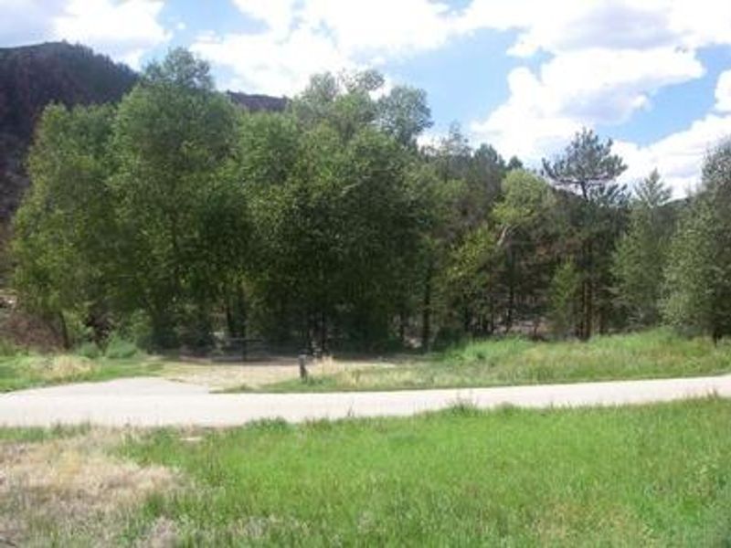
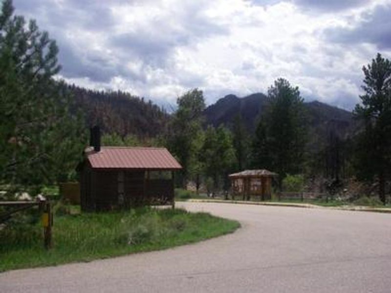
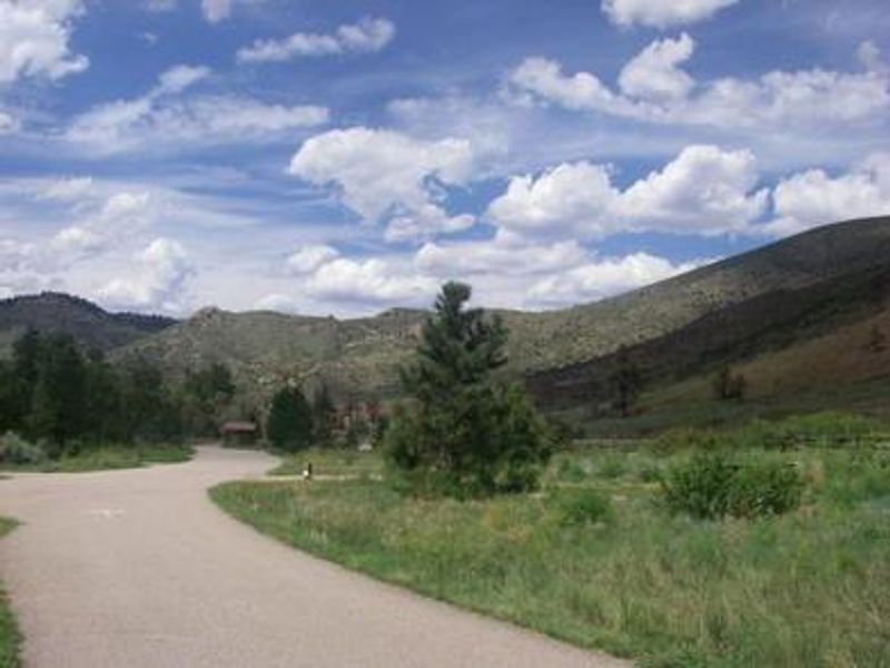
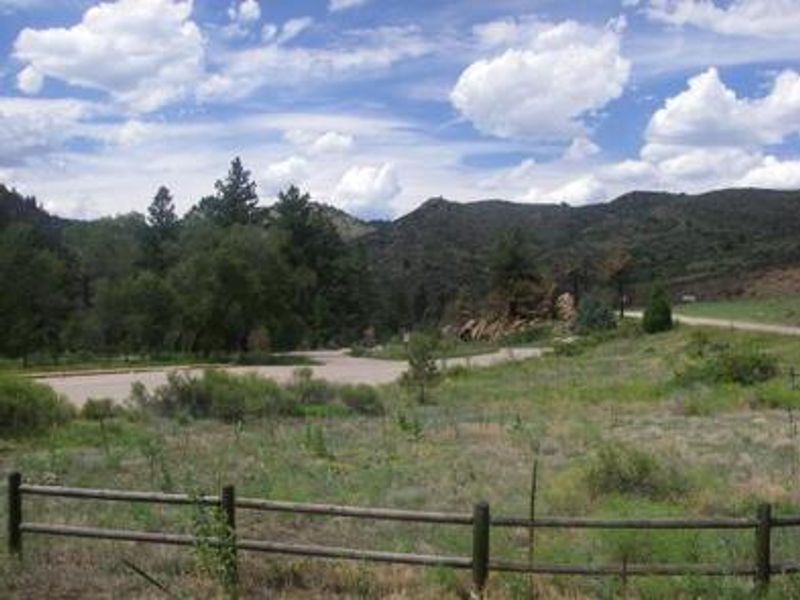
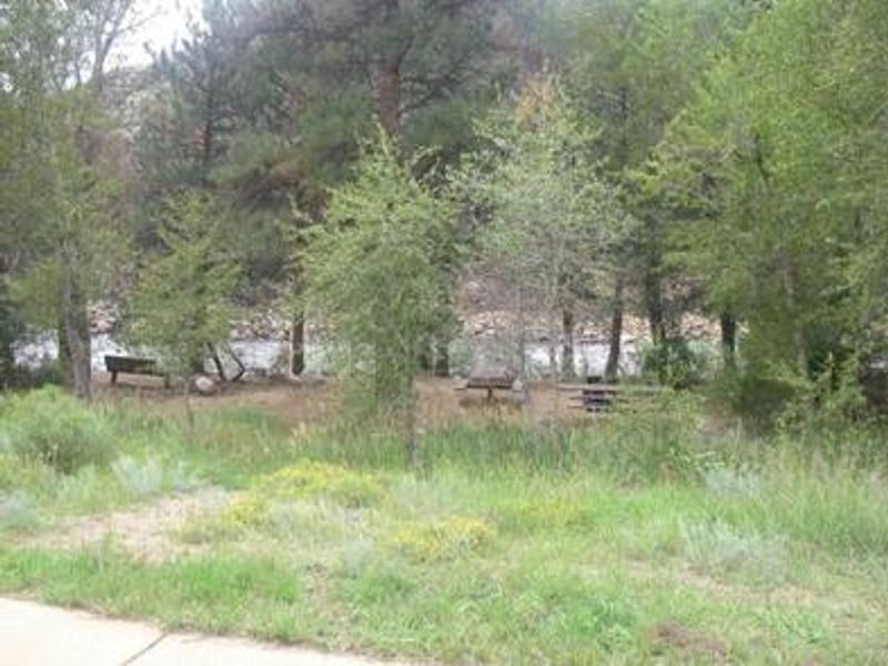
Narrows Campground occupies a scenic stretch along the Cache la Poudre River within Roosevelt National Forest, surrounded by ponderosa pine and aspen trees in a canyon that varies from dense forest to open meadows. The campground is divided into two distinct areas: Upper Narrows offers 6 standard sites with parking spurs ranging from 30 to 50 feet, suitable for RVs and trailers, while Lower Narrows provides 8 walk-in tent-only sites with separate parking. The Cache la Poudre River, designated as Colorado's first National Wild and Scenic River, offers excellent whitewater rafting and fishing for brown, cutthroat, and rainbow trout. Nearby trails include the Mt. McConnel Trail, William R. Kreutzer National Recreation Trail, and Young Gulch Trail for hiking, biking, and horseback riding. Each campsite is equipped with a 12x15' tent pad, picnic table, fire ring with grill, and bear locker. Vault toilets are available year-round, though drinking water from hand pumps is only available through late September. The campground operates on a mix of first-come-first-served and reservable sites through Recreation.gov.
Directions
From Fort Collins, drive 10 miles north on Highway 287, then turn left (west) onto Highway 14 and proceed 20 miles to the campground.
Amenities
| Water | Yes |
| Fires Allowed | Yes |
| Toilets | Yes |
| Dump Station | — |
| Wifi | No |
| Pets Allowed | Yes |
| Showers | No |
| Electric Hookups | — |
| Water Hookups | — |
| Sewer Hookups | — |
| Camp Store | No |
| Price | $29 |
Vehicle
| Max RV Length | 50ft |
| Max Trailer Length | 50ft |
| Big Rig Friendly | No |
| Pull Through Sites | No |
Contact
| Phone | +1 (970) 295-6700 |
Cell Service
| AT&T | None |
| Verizon | None |
| T-Mobile | None |
Availability
Photos
Community Posts
No posts yet. Be the first to share your experience!