Mcgregor Lake Campground
Opens for the 2026 season on May 19. The campground operates Memorial Day through Labor Day. Individual sites are first-come, first-served; the group site is reservable via Recreation.gov. 16-day stay limit.
Northern Region Camping & Target Restrictions, Pallet Prohibition
This order defines the maximum length of occupation at a single location or cumulatively at any number of locations within a calendar year, within the states of Montana, North Dakota, South Dakota, and Idaho
Weed Free Forage & Mulch Products Order for the Northern Region
It is illegal to possess, store or transport straw, hay, grain, seed or other forage or mulch products on Forest Service lands without documentation that the product is certified as “weed free” by a state certification process that meets or exceeds the North American Weed Free Forage standards.
R1-2023-02 - NCDE Food and Wildlife Attractant Storage Order
Northern Continental Divide Ecosystem Food/Wildlife Attractant Storage Order for the Flathead, Lolo, Kootenai, Helena-Lewis and Clark, and Beaverhead-Deerlodge National Forests within the Northern Continental Divide Ecosystem.
About
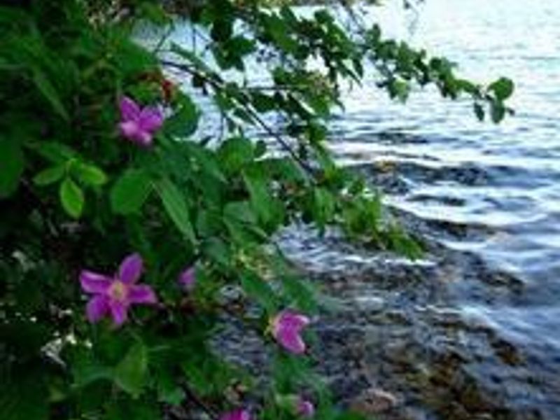
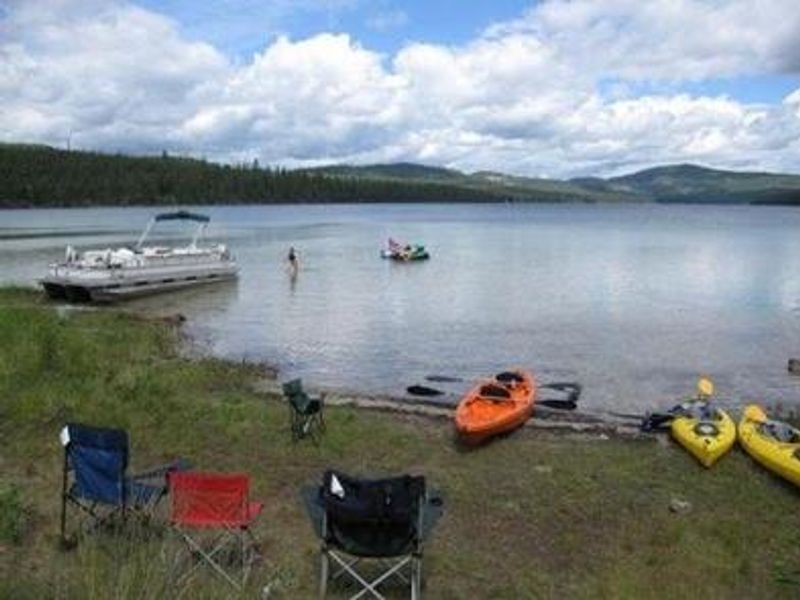
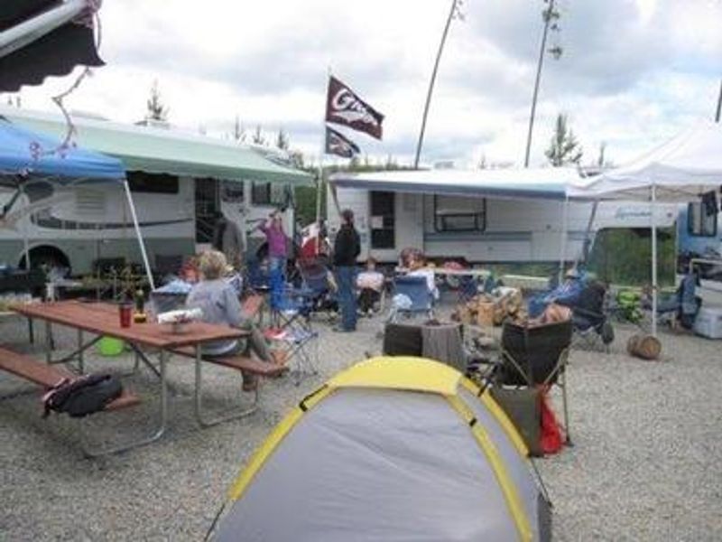
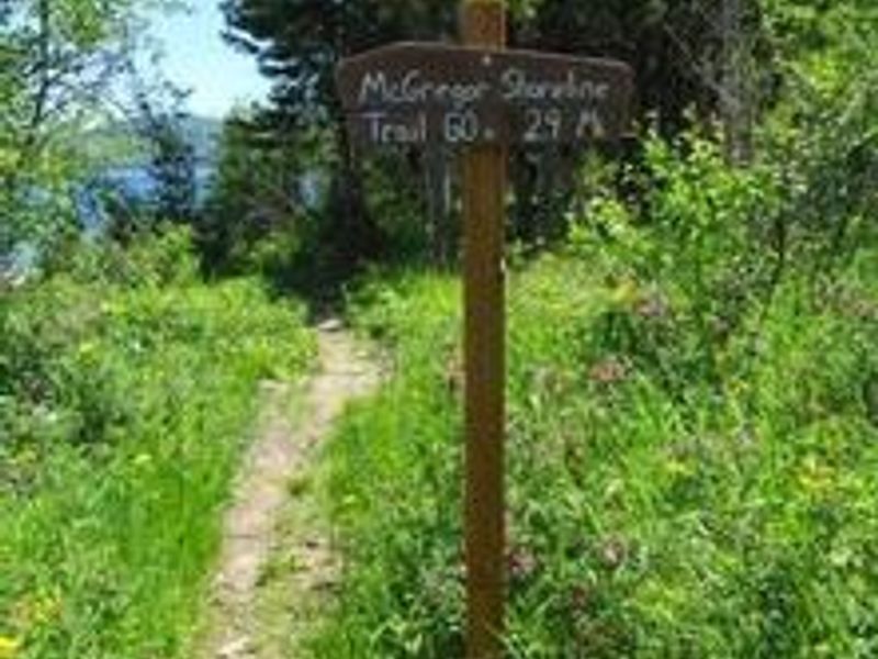
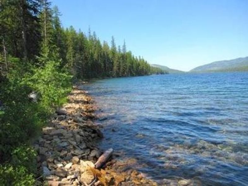
McGregor Lake Campground is situated at 3,900 feet elevation in Kootenai National Forest, approximately 53 miles southeast of Libby and 32 miles west of Kalispell on Highway 2. The campground occupies the west end of McGregor Lake, the largest lake in the forest at 1,240 acres, within the Thompson Chain of Lakes region known for premier fishing and hunting. The campground features 27 sites including 4 tent-only sites along the lakeshore and one reservable group site. All sites have fire rings and picnic tables. Vault toilets are available, and drinking water is provided during peak season. Most sites accommodate RVs with an average length of 32 feet. A boat ramp on-site provides direct lake access. McGregor Lake hosts a prime mackinaw trout population with excellent trophy fishing opportunities. The 2.9-mile McGregor Lake Shoreline Trail offers hiking, while swimming and waterskiing are popular summer activities. Individual sites operate first-come, first-served at $20 per night; the group site is reservable via Recreation.gov at $50 per night.
Directions
From Libby, MT, take US Route 2 east 53 miles to campground sign. Turn right at sign and go 0.2 miles to campground. Alternatively, from Kalispell, MT, take US Route 2 west 32 miles to campground entrance.
Amenities
| Water | Yes |
| Fires Allowed | Yes |
| Toilets | Yes |
| Dump Station | — |
| Wifi | No |
| Pets Allowed | Yes |
| Showers | No |
| Electric Hookups | — |
| Water Hookups | — |
| Sewer Hookups | — |
| Camp Store | No |
| Price | $50 |
Vehicle
| Max RV Length | 40ft |
| Max Trailer Length | — |
| Big Rig Friendly | No |
| Pull Through Sites | No |
Contact
| dthorstenson@fs.fed.us | |
| Phone | +1 (406) 293-7773 |
Cell Service
| AT&T | Yes |
| Verizon | None |
| T-Mobile | None |
Availability
Photos
Community Posts
No posts yet. Be the first to share your experience!