Logger Campground
The campground is currently closed for the season and opens May 22, 2026. The season runs through approximately mid-October. Reservations are available through Recreation.gov.
National Forest System Roads
Follow California Vehicle Code on National Forest System Roads
Fireworks and Explosives are always Prohibited
Fireworks and explosives (including explosive targets) are always prohibited on national forest lands. The prohibition of fireworks and exploding targets on national forest system lands is part of a set of permanent fire safety regulations in the Code of Federal Regulations (CFR), listed below.…
Downieville Downhill Closure Order
Closure of identified forest roads and trails for Downieville Downhill.
About
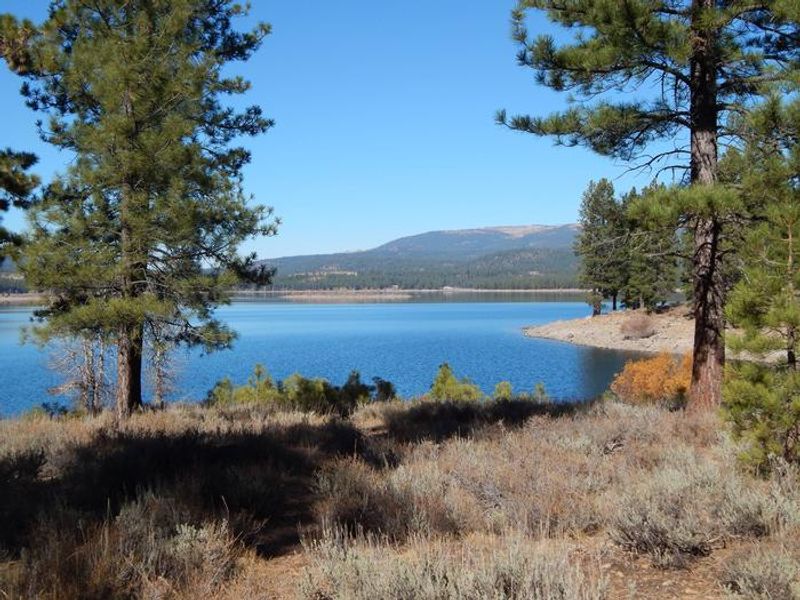
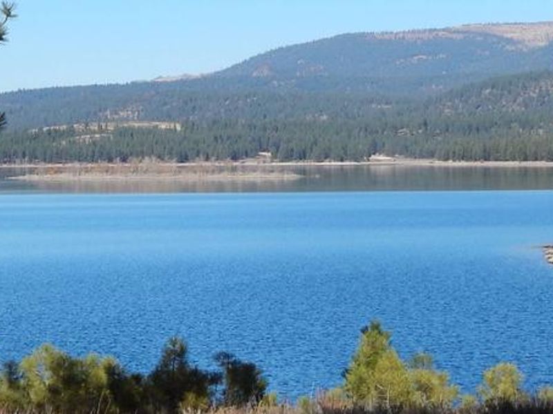
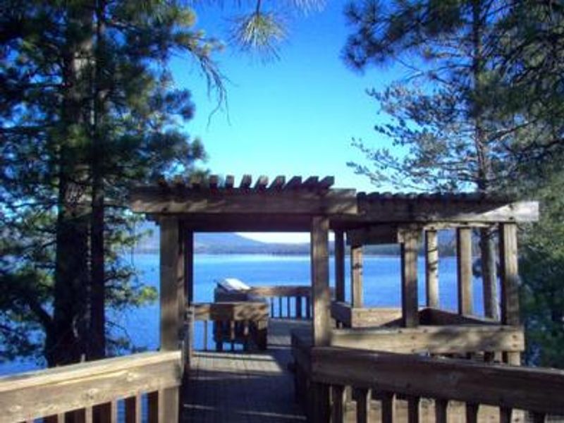
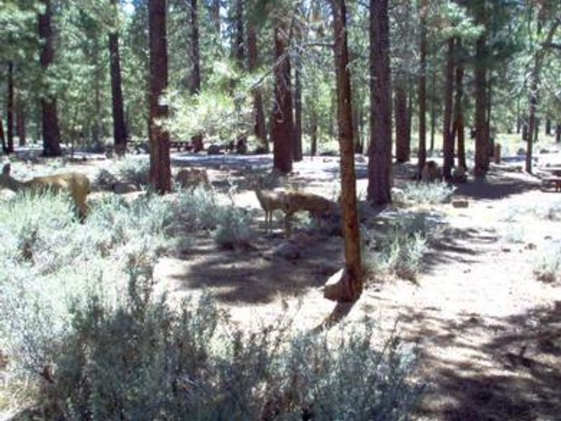
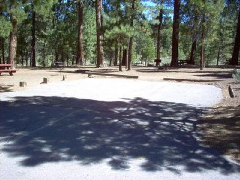
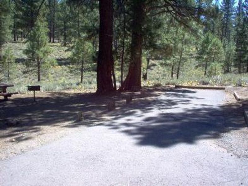
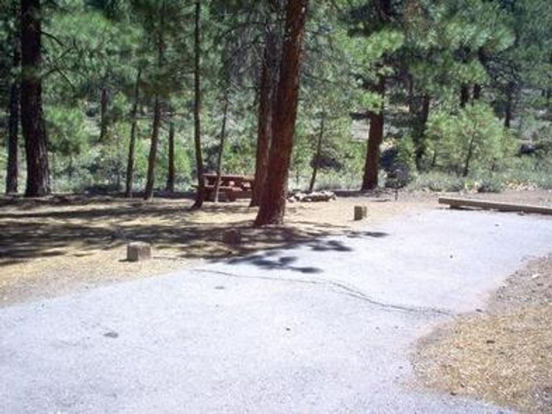
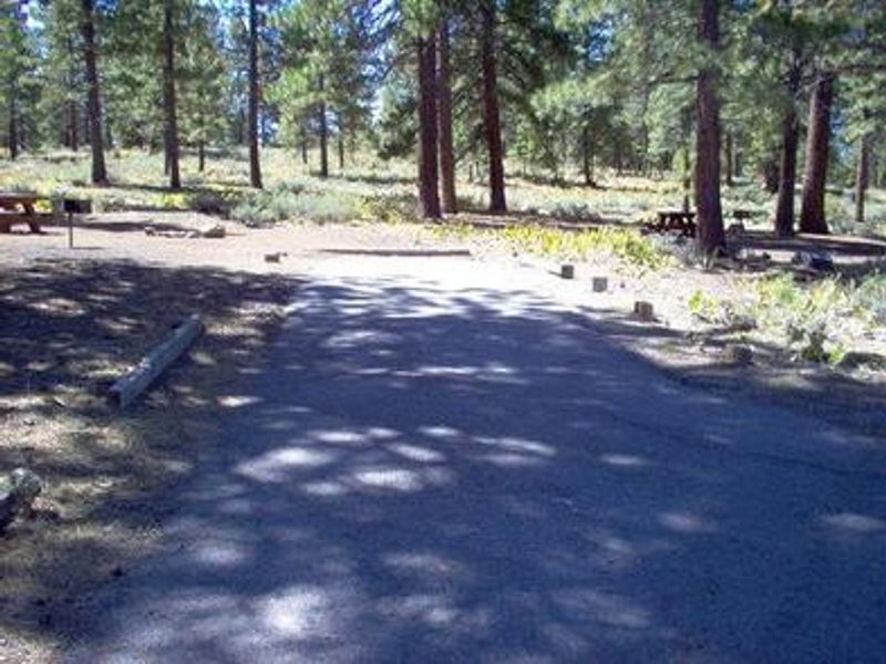
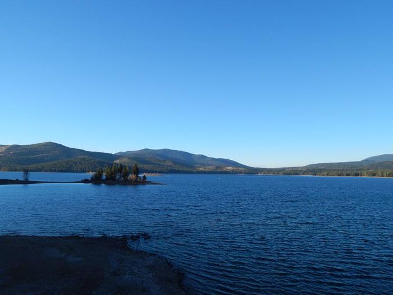
Logger Campground is a large, developed campground on the south side of Stampede Reservoir in the Tahoe National Forest. Located on the Little Truckee River approximately eight miles above its confluence with the Truckee River, the campground is surrounded by ponderosa pine, Jeffrey pine, and fir trees with sagebrush dotting the forest floor. The reservoir offers excellent boating, water skiing, swimming, and fishing for rainbow trout, brown trout, and kokanee salmon. The campground features over 240 sites organized into six loops: Cross Cut, Iron Ox, Steam Donkey, Whistle Punk, Ox Bow, and Double Bit. Sites accommodate tents and RVs, with single, double, and triple configurations available. Each site has a picnic table and fire ring with grill. Vault toilets and drinking water are provided throughout. A dump station is located a quarter mile from the entrance. A boat ramp with trailer parking sits adjacent to the campground. The surrounding area offers extensive hiking and OHV trails, including the Commemorative Emigrant Trail for hiking and mountain biking. Boca Reservoir is 10 minutes south for additional water recreation. Black bears frequent the area, so proper food storage is required.
Directions
From Truckee, travel east on Interstate 80 for 10 miles to the Hirschdale Road exit. Follow Hirschdale Road/Stampede Dam Road north for eight miles to Stampede Reservoir. Turn left on Dog Valley Road to cross Stampede Dam. Pass Emigrant Group Campground and the campground entrance is a quarter mile on the right. Alternate route: From Truckee, go north on Highway 89 for 5 miles, turn right on Hobart Mills Road, then left on Dog Valley Road. Pass the boat ramp road and the campground entrance is a half mile on the left.
Location
Amenities
| Water | Yes |
| Fires Allowed | Yes |
| Toilets | Yes |
| Dump Station | Yes |
| Wifi | — |
| Pets Allowed | Yes |
| Showers | No |
| Electric Hookups | — |
| Water Hookups | — |
| Sewer Hookups | — |
| Camp Store | — |
| Price | $23 |
Vehicle
| Max RV Length | 50ft |
| Max Trailer Length | 50ft |
| Big Rig Friendly | — |
| Pull Through Sites | No |
Contact
| Phone | +1 (530) 587-3558 |
Cell Service
| AT&T | None |
| Verizon | Yes |
| T-Mobile | None |
Availability
Photos
Community Posts
No posts yet. Be the first to share your experience!