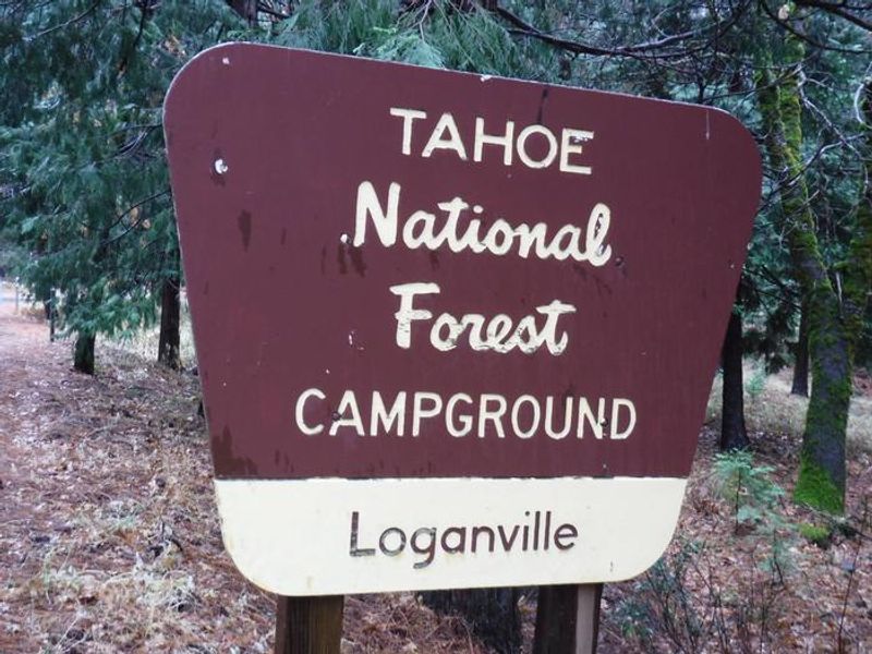
Loganville
Open for the season. Water is currently non-potable; campers must bring their own drinking water. Operating season runs through mid-October.
From Recreation.gov
Currently the water at Loganville Campground is non-potable. Please bring your own drinking water. We apologize for the inconvenience.
National Forest System Roads
Follow California Vehicle Code on National Forest System Roads
Fireworks and Explosives are always Prohibited
Fireworks and explosives (including explosive targets) are always prohibited on national forest lands. The prohibition of fireworks and exploding targets on national forest system lands is part of a set of permanent fire safety regulations in the Code of Federal Regulations (CFR), listed below.…
About
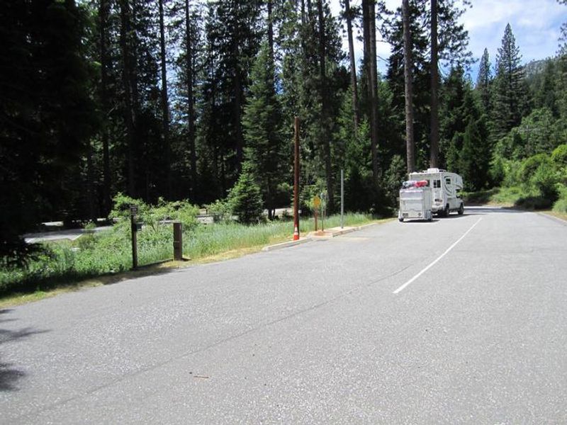
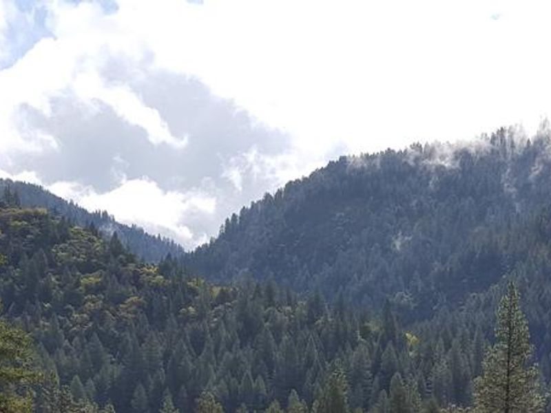
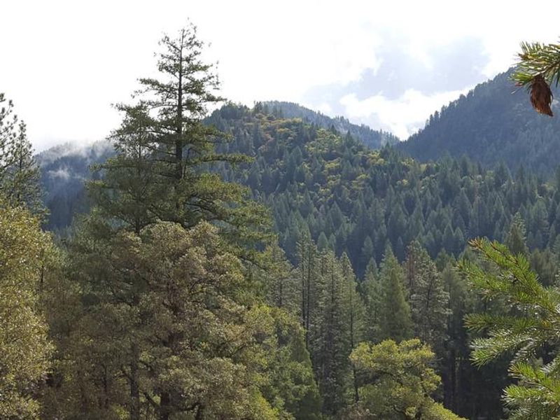
Loganville Campground sits along the North Yuba River off Highway 49, about 2 miles west of Sierra City in Tahoe National Forest. The 19 tent-only sites are arranged in two loops through a dense forest of oak, pine, and fir trees that provide ample shade. One loop winds up a hillside while the other occupies level ground near the river. Each campsite includes a picnic table and fire ring. Vault toilets are available. An RV dump station is located across from the campground entrance on Highway 49. Bears frequent the area, so all food must be stored in approved containers. Nearby attractions include Kentucky Mine and Sierra County Historic Park. The Gold Lakes Basin offers additional boating, fishing, and hiking opportunities. Over 30 miles of maintained trails for hiking, mountain biking, and motorcycles branch out from the area, and the Pacific Crest Trail is accessible east of Sierra City.
Directions
From Sierra City, drive 2 miles west on Highway 49. The campground is on the right along the North Yuba River. From Downieville, take Highway 49 north about 17 miles; the campground is on the right across from the Loganville RV Dump Station.
Amenities
| Water | No |
| Fires Allowed | Yes |
| Toilets | Yes |
| Dump Station | Yes |
| Wifi | — |
| Pets Allowed | — |
| Showers | No |
| Electric Hookups | — |
| Water Hookups | — |
| Sewer Hookups | — |
| Camp Store | No |
| Price | $24 |
Vehicle
| Max RV Length | — |
| Max Trailer Length | — |
| Big Rig Friendly | No |
| Pull Through Sites | No |
Contact
| Phone | +1 (530) 478-6253 |
Cell Service
| AT&T | None |
| Verizon | None |
| T-Mobile | None |
Availability
Photos
Community Posts
No posts yet. Be the first to share your experience!