Lakes Basin
Currently closed for the season. Scheduled to open May 22, 2026, with reservations beginning June 12. Peak season runs June 13 through August 31. Non-peak season runs September 1-28. After mid-September, dry camping only with no potable water.
National Forest System Roads
Follow California Vehicle Code on National Forest System Roads
Fireworks and Explosives are always Prohibited
Fireworks and explosives (including explosive targets) are always prohibited on national forest lands. The prohibition of fireworks and exploding targets on national forest system lands is part of a set of permanent fire safety regulations in the Code of Federal Regulations (CFR), listed below.…
Stage I Fire Restrictions - Plumas National Forest
The Plumas National Forest is entering Stage I Fire Restrictions on Thursday, July 9, based on increased fire danger and fire behavior indices, combined with drying fuels.
About
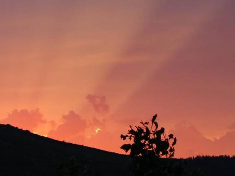
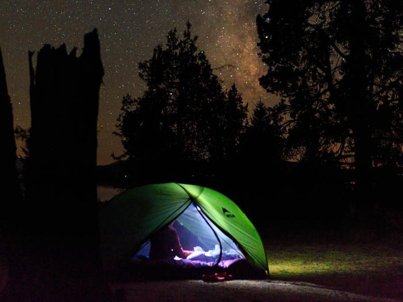
Lakes Basin Campground sits at 6,445 feet elevation among fir and aspen trees along Gray Eagle Creek in the Gold Lakes Basin Recreation Area. The area was carved by glaciers and features breathtaking mountain scenery, including the craggy Sierra Buttes and over 20 natural glacial lakes. Some old stonework from the historic mining community still exists, including steps leading into a deep pool of Gray Eagle Creek. The single-loop campground offers 11 family sites (including one double-family site) and a reservable group tent-only site. Site lengths range from 26 to 45 feet, though some sites do not accommodate RVs. About half the sites are first-come, first-served. All sites have fire rings with grills, picnic tables, and access to vault toilets and potable water. After mid-September, only dry camping is available with no water service. A network of over 30 miles of maintained trails branches out across the area, including the 1-mile Grassy Lakes Trail accessible from the campground. The Pacific Crest Trail can be reached from the local trail system. Gold Lake offers a boat ramp and excellent fishing for brown trout, rainbow trout, and Mackinaw. Nearby attractions include Plumas Eureka State Park, Mills Peak Fire Lookout, and Frazier Falls Trail.
Directions
From Graeagle, CA, at the intersection of State Route 89 and Forest Route 24 (Gold Lakes directional sign), turn onto Route 24 and go 6.9 miles to the campground sign. Turn right onto the single-lane road and proceed 0.3 miles; the campground is on the right.
Amenities
| Water | Yes |
| Fires Allowed | Yes |
| Toilets | Yes |
| Dump Station | — |
| Wifi | No |
| Pets Allowed | Yes |
| Showers | No |
| Electric Hookups | — |
| Water Hookups | — |
| Sewer Hookups | — |
| Camp Store | No |
| Price | $36 - $80 |
Vehicle
| Max RV Length | 45ft |
| Max Trailer Length | — |
| Big Rig Friendly | No |
| Pull Through Sites | No |
Contact
| james.bradeen@usda.gov | |
| Phone | +1 (530) 836-2575 |
Cell Service
| AT&T | None |
| Verizon | None |
| T-Mobile | None |
Availability
Photos
Community Posts
No posts yet. Be the first to share your experience!