John W. Flannagan Day Use
This is a day-use only facility with no overnight camping. The reservable group shelters are currently shown as closed. Overnight camping is available at nearby Lower Twin, Cranes Nest, and Pound River Campgrounds.
Wind Advisory issued October 10 at 9:48PM EDT until October 11 at 11:00AM EDT by NWS Charleston WV
* WHAT...Southeast winds 20 to 30 mph with gusts up to 50 mph. * WHERE...Portions of southwest Virginia and northeast, southeast, and southern West Virginia. * WHEN...Until 11 AM EDT Sunday. * IMPACTS...Gusty winds will blow around unsecured objects. Tree limbs could be blown down and a few power outages may result. * ADDITIONAL DETAILS...A strong east to southeasterly wind field aloft associated with the remnants of Isaias will move over the region into Sunday. Interaction with the higher terrain will help to transport these higher wind speeds to the surface in a sporadic fashion. The strongest winds will be observed along ridgelines and areas favored for enhanced downslope flow.
About
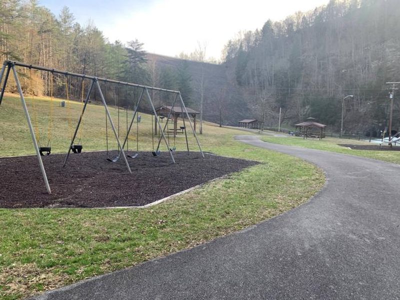
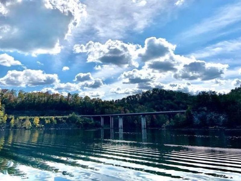
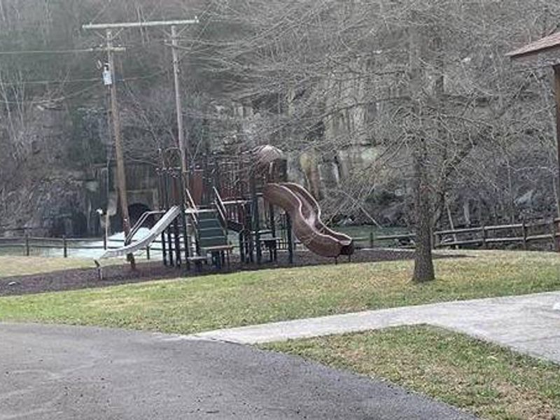
The John W. Flannagan Day Use Area is situated below the dam at John W. Flannagan Reservoir in Dickenson County, Virginia. This is a day-use only facility operated by the U.S. Army Corps of Engineers, offering group picnic shelters with electrical hookups, a playground, and horseshoe pits for visitors. The 1,145-acre reservoir was created by the John W. Flannagan Dam, completed in 1964 for flood control on the Cranesnest and Pound Rivers. The lake is maintained at nearly 1,400 feet elevation and is known for fishing with bass, bream, walleye, and trout. The day-use area provides scenic views of the lake and surrounding Cumberland Mountain terrain. This facility does not offer overnight camping. Visitors seeking camping should use the nearby Lower Twin, Cranes Nest, or Pound River Campgrounds, all located within the John W. Flannagan Dam and Reservoir recreation area.
Directions
From VA-63, turn right onto State Route 614. Continue straight for approximately two miles.
Amenities
| Water | — |
| Fires Allowed | — |
| Toilets | — |
| Dump Station | No |
| Wifi | — |
| Pets Allowed | — |
| Showers | No |
| Electric Hookups | Yes |
| Water Hookups | No |
| Sewer Hookups | No |
| Camp Store | No |
| Price | $50 |
Vehicle
| Max RV Length | — |
| Max Trailer Length | — |
| Big Rig Friendly | — |
| Pull Through Sites | No |
Contact
| Phone | +1 (276) 835-9544 |
Cell Service
| AT&T | None |
| Verizon | None |
| T-Mobile | None |
Availability
Photos
Community Posts
No posts yet. Be the first to share your experience!