Howell Station
Open for camping April 10 through October 27. Reservations required prior to occupying a site; no walk-ups. Check-in 3:00 PM, check-out 2:00 PM.
Flood Warning issued June 11 at 1:23PM CDT until June 11 at 10:00PM CDT by NWS Des Moines IA
* WHAT...Flooding caused by excessive rainfall continues. * WHERE...A portion of south central Iowa, including the following county, Marion. * WHEN...Until 1000 PM CDT Thursday. * IMPACTS...Flooding of rivers, creeks, streams, and other low-lying and flood-prone locations is imminent or occurring. Numerous roads remain closed due to flooding. * ADDITIONAL DETAILS... - At 122 PM CDT, Emergency management reported road closures due to heavy rain. Between 2 and 5 inches of rain have fallen. Additional rain this this afternoon may prolong or worsen the flooding, especially along Cedar Creek. - Some locations that will experience flooding include... Knoxville, Melcher-Dallas, Bussey, Hamilton, Marysville and Knoxville Municipal Airport.
Flood Watch issued June 11 at 1:18PM CDT until June 11 at 4:00PM CDT by NWS Des Moines IA
* WHAT...Flooding caused by excessive rainfall continues to be possible. * WHERE...Portions of central, south central, and southeast Iowa, including the following counties, in central Iowa, Jasper and Poweshiek. In south central Iowa, Appanoose, Lucas, Mahaska, Marion, Monroe and Wayne. In southeast Iowa, Davis and Wapello. * WHEN...Until 4 PM CDT this afternoon. * IMPACTS...Excessive runoff may result in flooding of rivers, creeks, streams, and other low-lying and flood-prone locations. * ADDITIONAL DETAILS... - More rain this afternoon in addition to recent rainfall from Wednesday through this morning may lead to renewed, additional or more significant flooding.
Tornado Watch issued June 11 at 7:34AM CDT until June 11 at 3:00PM CDT by NWS Des Moines IA
THE NATIONAL WEATHER SERVICE HAS ISSUED TORNADO WATCH 311 UNTIL 3 PM CDT THIS AFTERNOON WHICH REPLACES A PORTION OF SEVERE THUNDERSTORM WATCH 310. THE NEW WATCH IS VALID FOR THE FOLLOWING AREAS IN IOWA THE NEW WATCH INCLUDES 10 COUNTIES IN CENTRAL IOWA JASPER POWESHIEK IN SOUTH CENTRAL IOWA APPANOOSE LUCAS MAHASKA MARION MONROE WAYNE IN SOUTHEAST IOWA DAVIS WAPELLO THIS INCLUDES THE CITIES OF ALBIA, ALLERTON, BLOOMFIELD, CENTERVILLE, CHARITON, CORYDON, GRINNELL, HUMESTON, KNOXVILLE, NEWTON, OSKALOOSA, OTTUMWA, PELLA, AND SEYMOUR. * PRIMARY THREATS INCLUDE... A FEW TORNADOES AND A COUPLE INTENSE TORNADOES POSSIBLE. WIDESPREAD DAMAGING WINDS LIKELY WITH ISOLATED SIGNIFICANT GUSTS TO 80 MPH POSSIBLE. SCATTERED LARGE HAIL AND ISOLATED VERY LARGE HAIL EVENTS TO 2 INCHES IN DIAMETER POSSIBLE. PROBABILITY TABLE: PROB OF 2 OR MORE TORNADOES : 50% PROB OF 1 OR MORE STRONG /EF2-EF5/ TORNADOES : 30% PROB OF 10 OR MORE SEVERE WIND EVENTS : 90% PROB OF 1 OR MORE WIND EVENTS >= 75 MPH : 50% PROB OF 10 OR MORE SEVERE HAIL EVENTS : 40% PROB OF 1 OR MORE HAIL EVENTS >= 2 INCHES : 30% PROB OF 6 OR MORE COMBINED SEVERE HAIL/WIND EVENTS : >95% MEAN STORM MOTION /MPH/ : E 50
About
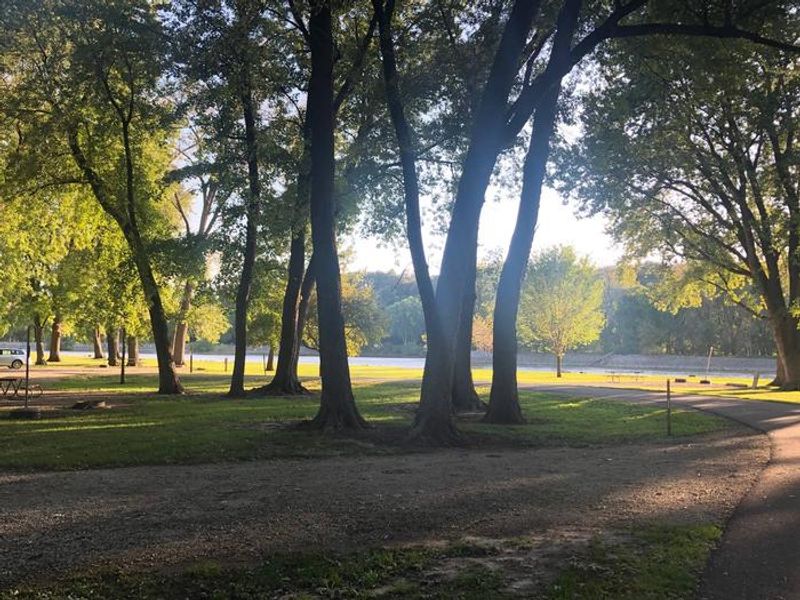
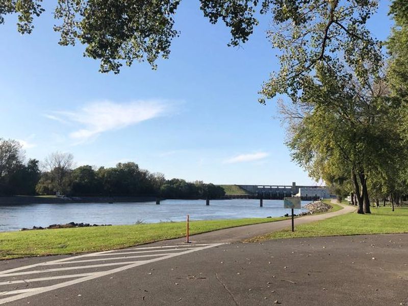
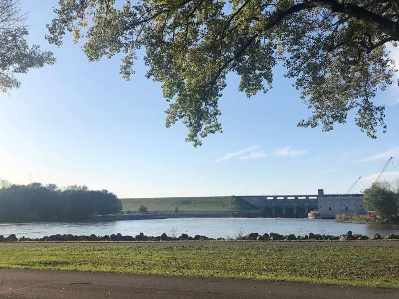
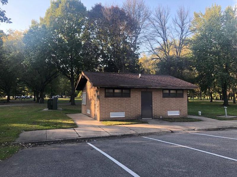
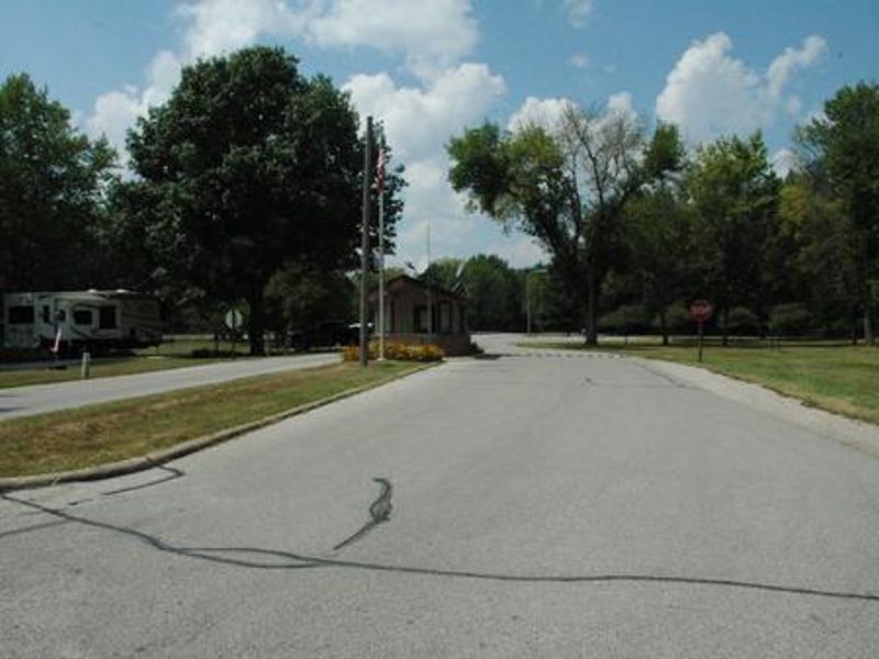
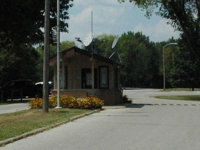
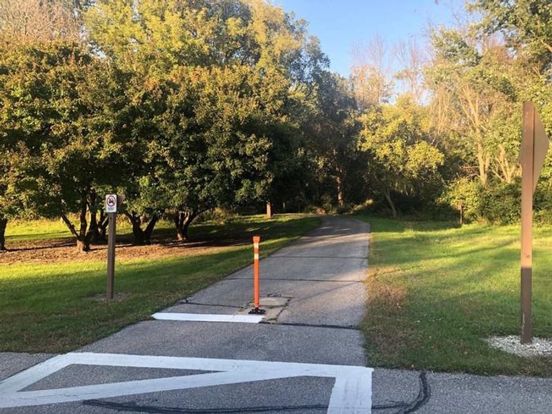
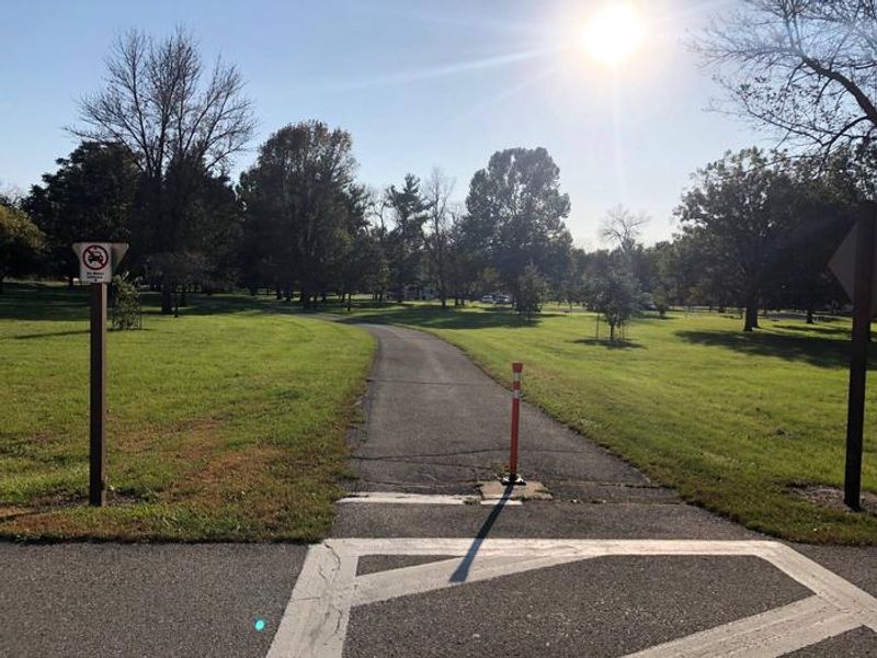
Howell Station Campground occupies 87 acres just below Red Rock Dam, providing campers direct access to Iowa's largest lake and the Des Moines River. The US Army Corps of Engineers operates this facility with 143 electric campsites nestled under mature hardwood trees that provide extensive shade coverage. Each site includes 50-amp electric service, a fire ring, and picnic table on gravel pads. The campground features modern amenities including flush toilets and pit toilets, showers distributed throughout the grounds, potable water, and two dump stations. A playground serves families, and the paved Volksweg Trail provides biking and hiking access along the river with connections to the 15-mile trail stretching west to Pella. A boat ramp offers anglers access to crappie, largemouth and striped bass, walleye, catfish, and northern pike. Wildlife viewing is excellent year-round. American White Pelicans migrate through in spring and fall, bald eagles appear November through March, and white-tailed deer and wild turkeys frequent the area. The campground sits 10 minutes from Pella's Dutch heritage attractions and 15 minutes from Knoxville, known as the sprint car capital of the world.
Directions
From Pella, Iowa, take Highway T-15 southwest for 5 miles, then turn east on Idaho Drive to 198th Place. Travel south and follow signs to campground. Address: 1081 198th Place, Pella, IA 50219.
Amenities
| Water | Yes |
| Fires Allowed | Yes |
| Toilets | Yes |
| Dump Station | Yes |
| Wifi | — |
| Pets Allowed | Yes |
| Showers | Yes |
| Electric Hookups | Yes |
| Water Hookups | No |
| Sewer Hookups | No |
| Camp Store | — |
| Price | $22 |
Vehicle
| Max RV Length | 80ft |
| Max Trailer Length | 80ft |
| Big Rig Friendly | Yes |
| Pull Through Sites | No |
Contact
| lakeredrock@usace.army.mil | |
| Phone | +1 (641) 828-7522 |
Cell Service
| AT&T | Yes |
| Verizon | Yes |
| T-Mobile | None |
Availability
Photos
Community Posts
No posts yet. Be the first to share your experience!