Harmon Den Campground
Open for the season through October 31. Reservations required at least 24 hours in advance; no walk-up sites available. The campground is gated with combination access provided at reservation. No potable water is currently available.
High Wind Warning issued October 10 at 2:38AM EDT until October 11 at 8:00AM EDT by NWS Greenville-Spartanburg SC
* WHAT...For the High Wind Warning in high elevations above 3500 feet, southeast winds 15 to 25 mph with gusts up to 60 mph expected. For the Wind Advisory in lower elevations below 3500 feet, southeast winds 10 to 20 mph with gusts of 45 to 50 mph expected. * WHERE...A portion of western North Carolina. * WHEN...Until 8 AM EDT Sunday. * IMPACTS...Damaging winds will blow down trees and power lines especially in higher elevations. Widespread power outages are expected in higher elevations. Travel will be difficult, especially for high profile vehicles. Gusty winds will blow around unsecured objects, and may cause a few tree limbs to fall and cause isolated power outages in lower elevations.
Flood Watch issued October 10 at 2:06AM EDT until October 11 at 2:00PM EDT by NWS Greenville-Spartanburg SC
* WHAT...Flash flooding caused by excessive rainfall continues to be possible. * WHERE...Portions of northeast Georgia, including the following areas, Elbert, Franklin, Habersham, Hart, Rabun and Stephens, western North Carolina, including the following areas, Avery, Buncombe, Burke Mountains, Caldwell Mountains, Eastern McDowell, Eastern Polk, Greater Burke, Greater Caldwell, Greater Rutherford, Haywood, Henderson, Macon, McDowell Mountains, Mitchell, Northern Jackson, Polk Mountains, Rutherford Mountains, Southern Jackson, Transylvania and Yancey, and Upstate South Carolina, including the following areas, Greater Oconee, Greenville Mountains, Oconee Mountains and Pickens Mountains. * WHEN...From 8 AM EDT this morning through Sunday afternoon. * IMPACTS...Excessive runoff may result in flooding of rivers, creeks, streams, and other low-lying and flood-prone locations. Creeks and streams may rise out of their banks. Low-water crossings may be flooded. * ADDITIONAL DETAILS... - As Isaias weakens and moves northward through the Mid-South early this morning, rain will become increasingly likely across the western Carolinas and northeast Georgia. Periods of rain may begin over the watch area before daybreak, though rainfall rates will initially be light. Rainfall rates will increase during the day, and heavy rain is most likely this afternoon through early Sunday morning, particularly along the south and east facing Blue Ridge Escarpment, that is, near the southern border of North Carolina west of I-26, and in the sharp terrain from near Saluda to Grandfather Mountain in North Carolina. A slow-moving band of heavy rain may move across northeast Georgia and the Upstate of South Carolina late this afternoon and this evening. - http://www.weather.gov/safety/flood
Wind Advisory issued October 10 at 2:38AM EDT until October 11 at 8:00AM EDT by NWS Greenville-Spartanburg SC
* WHAT...For the High Wind Warning in high elevations above 3500 feet, southeast winds 15 to 25 mph with gusts up to 60 mph expected. For the Wind Advisory in lower elevations below 3500 feet, southeast winds 10 to 20 mph with gusts of 45 to 50 mph expected. * WHERE...A portion of western North Carolina. * WHEN...Until 8 AM EDT Sunday. * IMPACTS...Damaging winds will blow down trees and power lines especially in higher elevations. Widespread power outages are expected in higher elevations. Travel will be difficult, especially for high profile vehicles. Gusty winds will blow around unsecured objects, and may cause a few tree limbs to fall and cause isolated power outages in lower elevations.
About
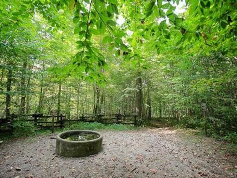
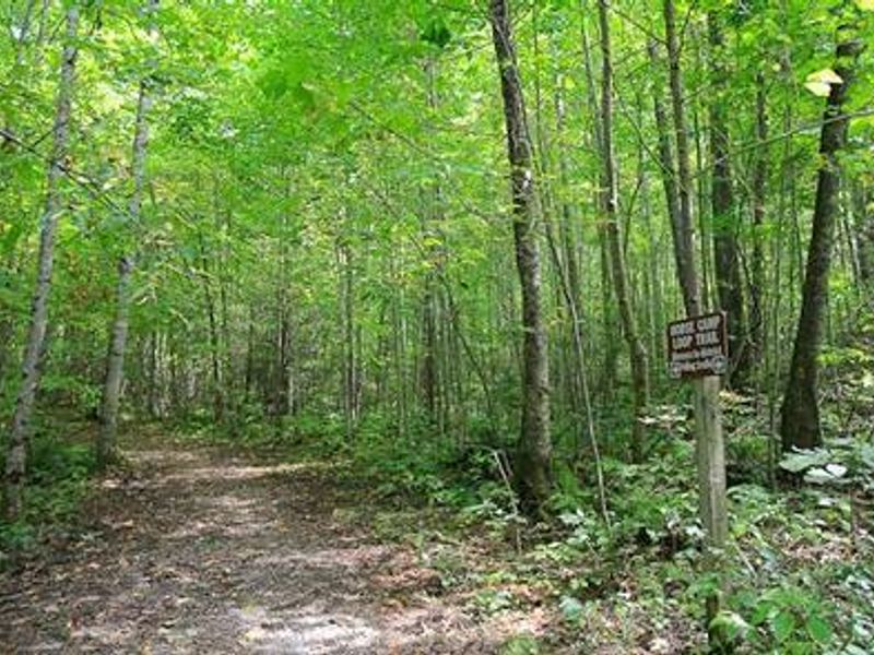
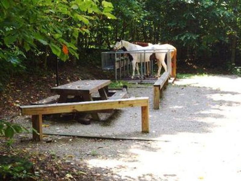
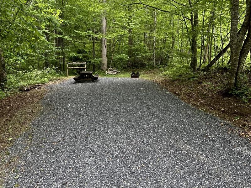
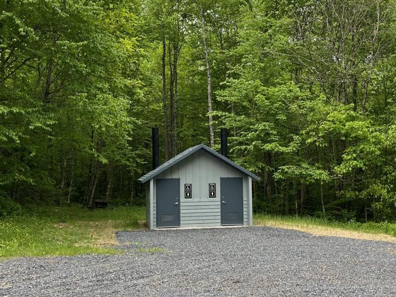
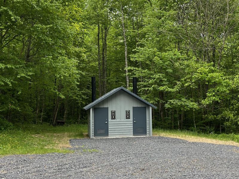
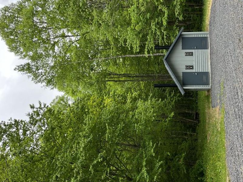
Harmon Den Campground occupies a secluded mountainside in the Pisgah National Forest's Appalachian Ranger District, surrounded by mixed hardwood forest in Haywood County, North Carolina. The campground is divided into two loops: the upper loop contains 14 equestrian sites (HD01-HD14), each equipped with horse stalls and mangers accommodating up to 4 horses and 8 people, while the lower loop offers 8 standard sites (T15-T23) for tent camping and small trailers. All sites include a picnic table, tent pad, lantern post, and fire ring. The campground has vault toilet facilities for each loop and bear-proof garbage cans. There is no potable water available (the hand pump is currently non-potable), no hookups, and no dump station. The campground is gated, with the combination provided upon reservation. The Harmon Den Area offers over 54 miles of trails, including 14 miles designated for both horseback riding and hiking. Popular routes include the 5.4-mile Buckeye Ridge, 2.6-mile Cherry Ridge, 2.5-mile Robert Gap, and 3.6-mile Cold Springs trails. Mountain bikes are prohibited on all trails. The area is a designated bear sanctuary, requiring all food and scented items to be stored in bear-proof containers.
Directions
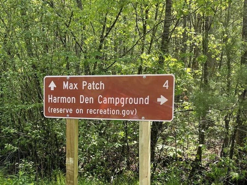
From I-40, take Exit 7 (Harmon Den) and head east on Cold Springs Road (NFSR #148) for approximately 4 miles to the campground entrance. Alternatively, from Hot Springs, NC, take Highway 209 south for 7 miles, turn right onto Meadowfork Road (NCSR #1175) for 6 miles, right onto Little Creek Road (NCSR #1181) for 3 miles, left onto Max Patch Road (NCSR #1182) for 0.75 miles, then right onto Cold Springs Road (NFSR #148) for 3 miles to Falls Branch Road (NFSR #3526) and 0.5 mile to the entrance.
Amenities
| Water | No |
| Fires Allowed | Yes |
| Toilets | Yes |
| Dump Station | No |
| Wifi | No |
| Pets Allowed | — |
| Showers | No |
| Electric Hookups | — |
| Water Hookups | — |
| Sewer Hookups | — |
| Camp Store | No |
| Price | $15 |
Vehicle
| Max RV Length | — |
| Max Trailer Length | — |
| Big Rig Friendly | No |
| Pull Through Sites | No |
Contact
| appalachianrd@usda.gov | |
| Phone | +1 (828) 689-9694 |
Cell Service
| AT&T | Yes |
| Verizon | Yes |
| T-Mobile | None |
Availability
Photos

Community Posts
No posts yet. Be the first to share your experience!