Cataloochee Campground
Open and accepting reservations. Operates seasonally from spring through fall. Some trails in the area remain damaged from Hurricane Helene with hazardous conditions; check current closures before hiking. Reservations required via Recreation.gov up to six months in advance.
Flood Watch issued October 11 at 9:50AM EDT until October 11 at 2:00PM EDT by NWS Greenville-Spartanburg SC
* WHAT...Flash flooding caused by excessive rainfall continues to be possible. * WHERE...Portions of western North Carolina, including the following areas, Avery, Buncombe, Burke Mountains, Caldwell Mountains, Eastern McDowell, Eastern Polk, Greater Burke, Greater Caldwell, Greater Rutherford, Haywood, Henderson, McDowell Mountains, Mitchell, Polk Mountains, Rutherford Mountains, Transylvania and Yancey and Upstate South Carolina, including the following areas, Greenville Mountains, Northern Spartanburg and Southern Spartanburg. * WHEN...Until 2 PM EDT this afternoon. * IMPACTS...Excessive runoff may result in flooding of rivers, creeks, streams, and other low-lying and flood-prone locations. Creeks and streams may rise out of their banks. Low-water crossings may be flooded. * ADDITIONAL DETAILS... - Rainfall tapers off behind the front, but runoff from previous rainfall will keep high water levels in portions of the area. Ongoing flood advisories and warnings will keep the watch in place, even though rain has ended. - http://www.weather.gov/safety/flood
About
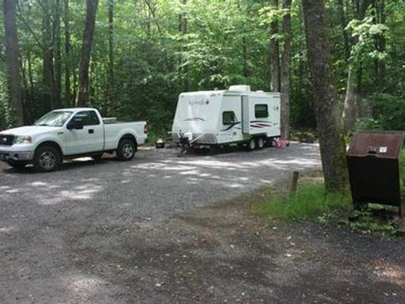
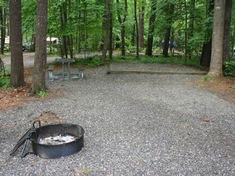
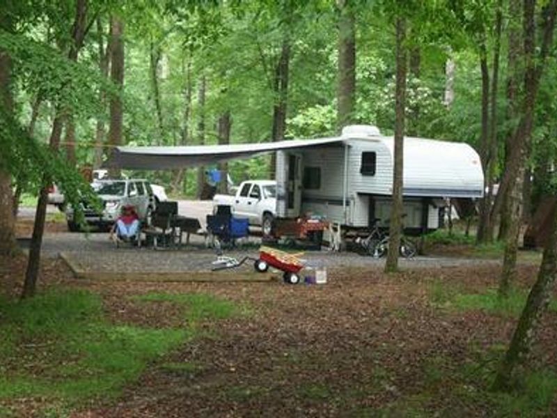
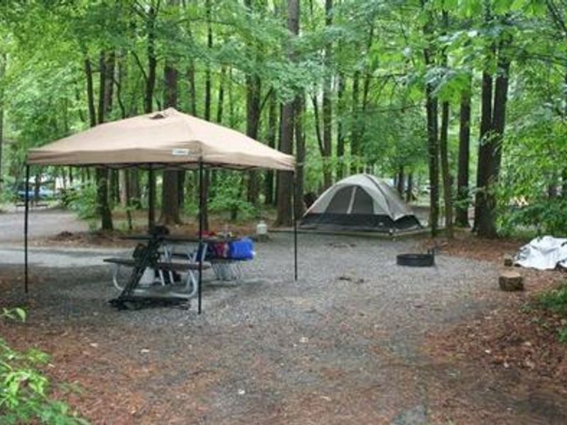
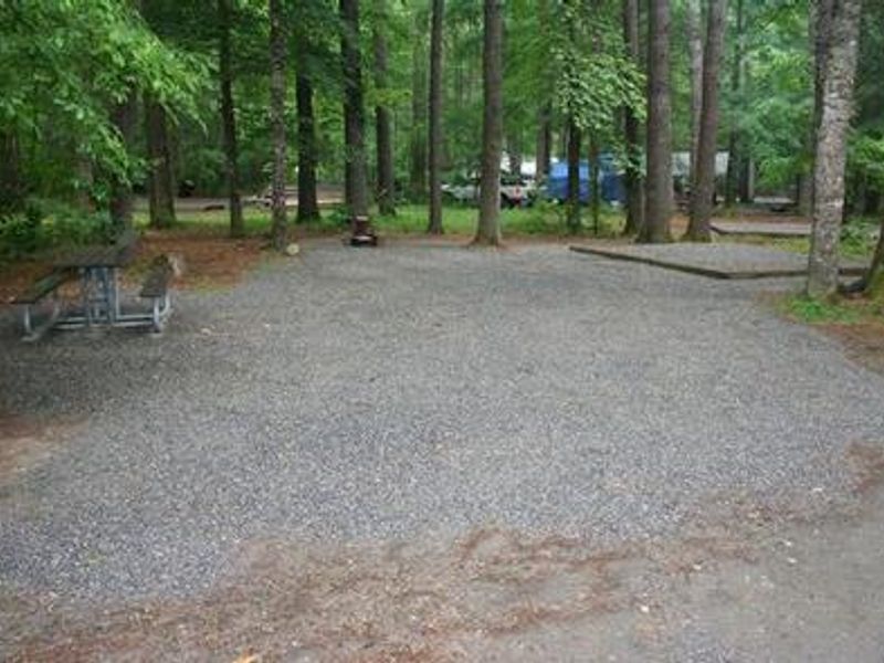
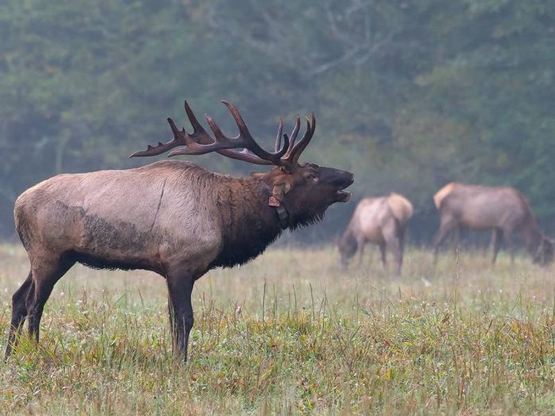
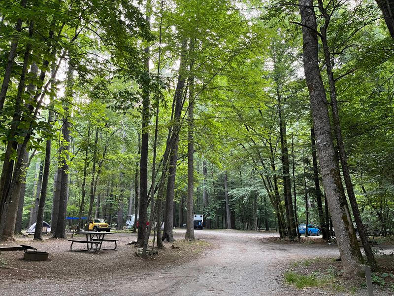
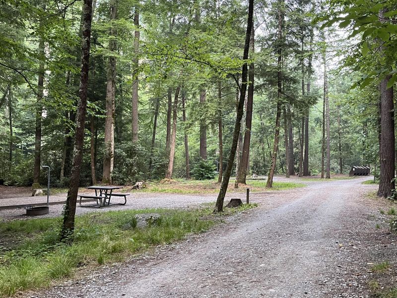
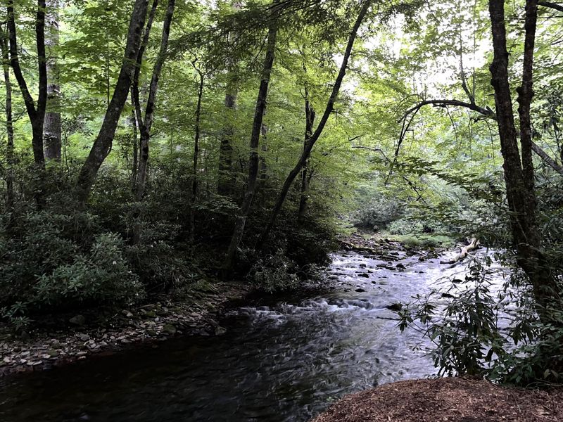
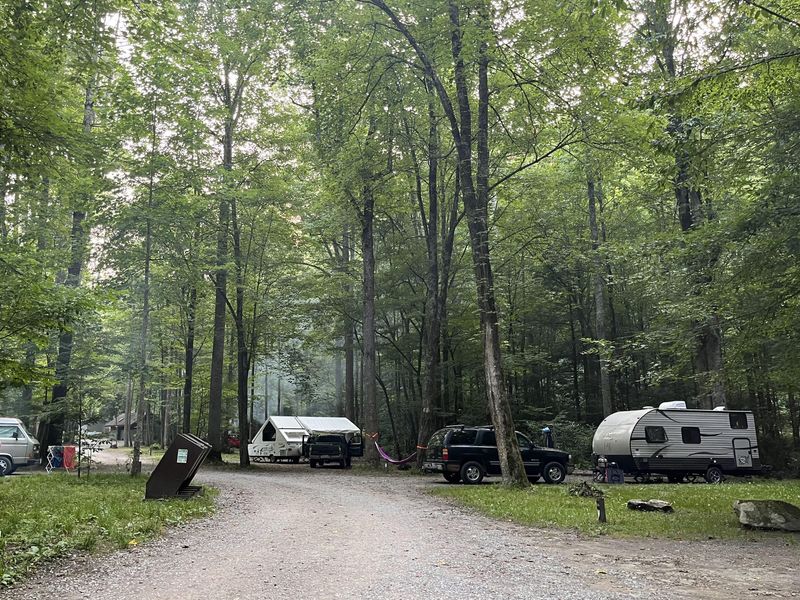
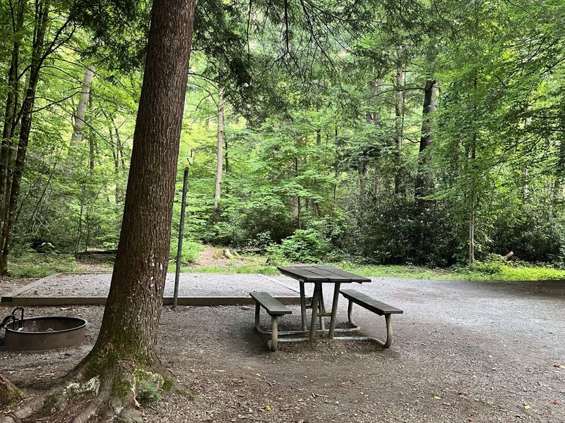
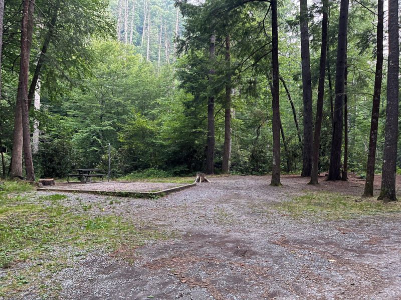
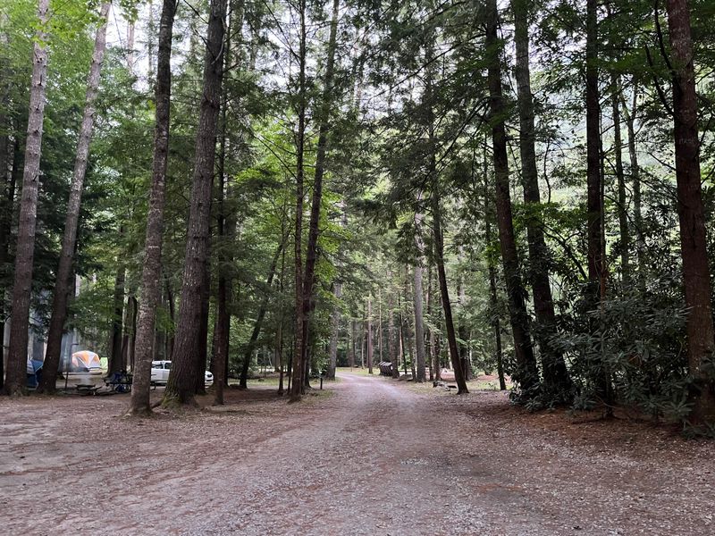
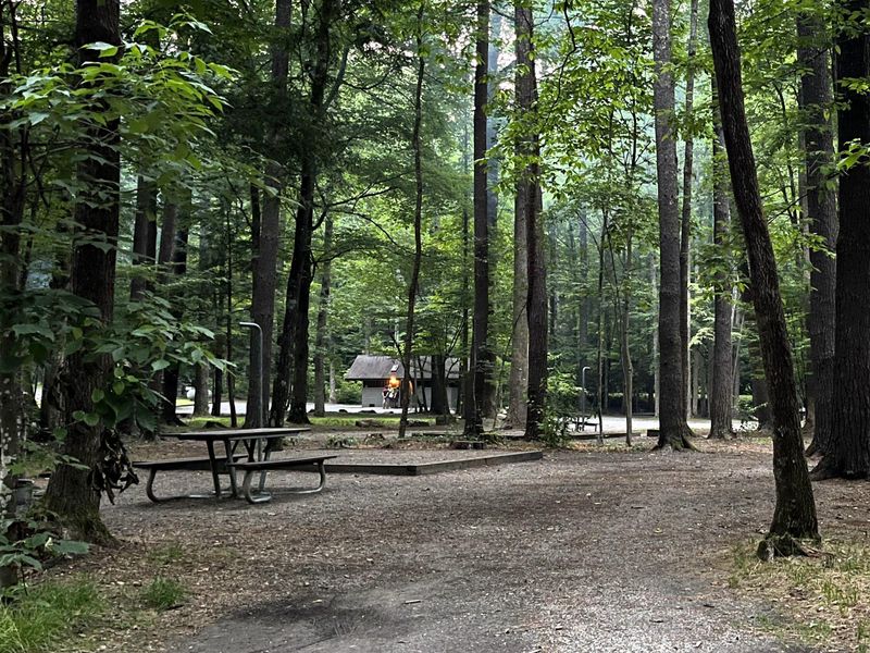
Cataloochee Campground occupies a quiet corner of the historic Cataloochee Valley, surrounded by mountain ridges and pristine streams. At 2,610 feet elevation, the area experiences mild winters and humid summers, with elk frequently spotted in spring and fall. The valley was once home to over 1,200 residents before becoming part of the park, and several 19th-century structures remain, including the Palmer House museum and Steve Woody House. The campground offers a traditional camping experience with flush toilets and seasonal drinking water, but no hookups or showers. All 27 sites have fire rings and bear-proof food storage lockers. The Cataloochee Basin provides some of the best rainbow and brook trout fishing in the region, and the trail system sees far fewer visitors than other parts of the park. The 3.9-mile Boogerman Loop is accessible within a mile of the campground. Access requires navigating a narrow, winding road with a 3-mile gravel section featuring blind curves and steep drop-offs. Motorhomes over 29 feet and trailers over 25 feet are not recommended. Cell phone coverage is nonexistent, so reservations must be made before arrival through Recreation.gov.
Directions
From I-40 take Exit 20 in North Carolina. Turn right onto Cove Creek Road and follow to the park boundary. The road transitions from pavement to gravel to pavement again. Upon reaching pavement the second time, turn left. Go 2.5 miles to an intersection and continue another 0.5 miles to the left. The entrance road is narrow and winding with a 3-mile gravel section, blind curves, and steep drop-offs without guardrails.
Amenities
| Water | Yes |
| Fires Allowed | Yes |
| Toilets | Yes |
| Dump Station | — |
| Wifi | No |
| Pets Allowed | Yes |
| Showers | No |
| Electric Hookups | — |
| Water Hookups | — |
| Sewer Hookups | — |
| Camp Store | — |
| Price | $30 |
Vehicle
| Max RV Length | 34ft |
| Max Trailer Length | 27ft |
| Big Rig Friendly | No |
| Pull Through Sites | No |
Contact
| Dawn_Pekarchick@nps.gov | |
| Phone | +1 (828) 269-3161 |
Cell Service
| AT&T | None |
| Verizon | None |
| T-Mobile | None |
Availability
Photos

Community Posts
No posts yet. Be the first to share your experience!