Big Creek Group Camp
Open for the 2026 season. Reservations required via Recreation.gov with a minimum of 7 people. Check-in is 1:00 PM; check-out is 12:00 PM. Quiet hours 10 PM to 6 AM. High bear activity in the area requires storing all food and scented items in sealed vehicles. Some trails beyond the campground remain closed due to Hurricane Helene damage.
Flood Watch issued October 11 at 9:50AM EDT until October 11 at 2:00PM EDT by NWS Greenville-Spartanburg SC
* WHAT...Flash flooding caused by excessive rainfall continues to be possible. * WHERE...Portions of western North Carolina, including the following areas, Avery, Buncombe, Burke Mountains, Caldwell Mountains, Eastern McDowell, Eastern Polk, Greater Burke, Greater Caldwell, Greater Rutherford, Haywood, Henderson, McDowell Mountains, Mitchell, Polk Mountains, Rutherford Mountains, Transylvania and Yancey and Upstate South Carolina, including the following areas, Greenville Mountains, Northern Spartanburg and Southern Spartanburg. * WHEN...Until 2 PM EDT this afternoon. * IMPACTS...Excessive runoff may result in flooding of rivers, creeks, streams, and other low-lying and flood-prone locations. Creeks and streams may rise out of their banks. Low-water crossings may be flooded. * ADDITIONAL DETAILS... - Rainfall tapers off behind the front, but runoff from previous rainfall will keep high water levels in portions of the area. Ongoing flood advisories and warnings will keep the watch in place, even though rain has ended. - http://www.weather.gov/safety/flood
About
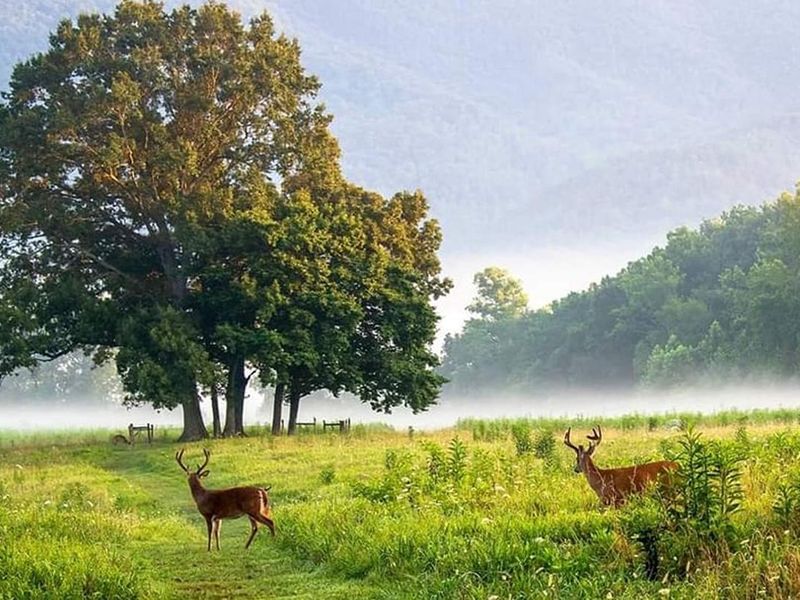
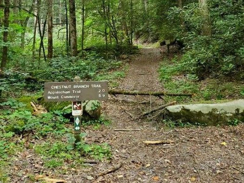
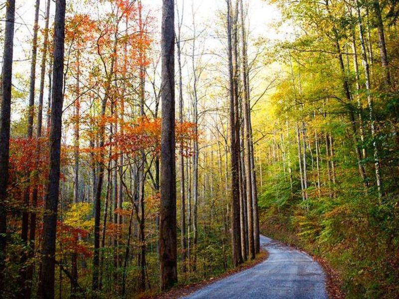
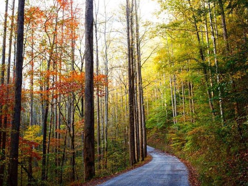
Big Creek Group Camp occupies land once home to a logging town, now reclaimed by towering forest that provides full shade over the camping area. Situated near the North Carolina-Tennessee border at the park's far northeastern edge, the single group site offers six tent pads, a fire ring, grill, picnic table, and lantern post. Flush toilets and potable water with sinks are available, though showers and hookups are not. The setting is ideal for groups seeking a quieter corner of the Smokies with immediate trail access. Big Creek Trail leads 2 miles to Mouse Creek Falls (currently closed beyond that point due to storm damage), while Chestnut Branch Trail reaches the Appalachian Trail in 2.1 miles. Big Creek itself offers spring fly fishing for Rainbow and Brook trout. The area has high bear activity; all food and scented items must be stored in sealed vehicles at all times. Nearby Big Creek Horse Camp provides equestrian camping, and the small Big Creek Campground (12 individual walk-in sites, first-come-first-served) is also in the area. Full services are available 16 miles away in Newport, Tennessee.
Directions
From I-40, take Exit 451 (Waterville). Cross the Pigeon River past Walters Power Station and continue one mile to the four-way intersection at Mt Sterling Gap. Follow signs to Big Creek. Drive past the Ranger Station and horse camp; the group camp is the last left turn immediately before the hiker parking area. GPS: 35.752328, -83.109287
Amenities
| Water | Yes |
| Fires Allowed | Yes |
| Toilets | Yes |
| Dump Station | No |
| Wifi | No |
| Pets Allowed | Yes |
| Showers | No |
| Electric Hookups | — |
| Water Hookups | — |
| Sewer Hookups | — |
| Camp Store | No |
| Price | $30 |
Vehicle
| Max RV Length | — |
| Max Trailer Length | — |
| Big Rig Friendly | No |
| Pull Through Sites | No |
Contact
| Phone | +1 (423) 487-2683 |
Cell Service
| AT&T | Yes |
| Verizon | None |
| T-Mobile | None |
Availability
Photos
Community Posts
No posts yet. Be the first to share your experience!