Cataloochee Group Camp
The campground is currently open for the 2026 season. Reservations are required and can be made through Recreation.gov. Several trails in the Cataloochee area remain closed due to Hurricane Helene damage, including Caldwell Fork Trail and Gunter Fork Trail. The Boogerman Trail has a washed-out footlog creating a deep water crossing.
High Wind Warning issued October 10 at 5:24PM EDT until October 11 at 8:00AM EDT by NWS Greenville-Spartanburg SC
* WHAT...For the High Wind Warning at elevations above 3500 feet, southeast winds 10 to 25 mph with gusts up to 60 mph. For the Wind Advisory in effect below 3500 feet, southeast winds 5 to 20 mph with gusts up to 50 mph. * WHERE...Most of the mountains of western North Carolina, from Graham and Macon counties northeast to Mitchell County. * WHEN...Until 8 AM EDT Sunday. * IMPACTS...Damaging winds will blow down trees and power lines especially in higher elevations. Widespread power outages are expected in higher elevations. Travel will be difficult, especially for high profile vehicles. Gusty winds will blow around unsecured objects, and may cause a few tree limbs to fall and cause isolated power outages in lower elevations.
Flood Watch issued October 10 at 4:02PM EDT until October 11 at 2:00PM EDT by NWS Greenville-Spartanburg SC
* WHAT...Flash flooding caused by excessive rainfall continues to be possible. * WHERE...In Northeast Georgia, the following counties: Elbert, Franklin, Habersham, Hart, Rabun and Stephens. In western North Carolina, the following counties: Avery, Buncombe, Burke, Caldwell, McDowell, Polk, Rutherford, Haywood, Henderson, Macon, Mitchell, Jackson, Transylvania and Yancey. In Upstate South Carolina, the following counties: Abbeville, Anderson, Central Greenville, Greater Oconee, Greater Pickens, Greenville, Greenwood, Laurens, Spartanburg, and Oconee. * WHEN...Through Sunday afternoon. * IMPACTS...Excessive runoff may result in flooding of rivers, creeks, streams, and other low-lying and flood-prone locations. Creeks and streams may rise out of their banks. Low-water crossings may be flooded. * ADDITIONAL DETAILS... - As Isaias weakens and moves northward into the lower Ohio Valley, periods of rain will continue. While rainfall rates may decrease in some areas this evening, short bursts of heavy rain are possible through tonight. By Sunday morning, total accumulations of generally 5 to 8 inches are expected along the southeast-facing Blue Ridge Escarpment, with 2 to 5 inches elsewhere in the watch area. - http://www.weather.gov/safety/flood
Wind Advisory issued October 10 at 5:24PM EDT until October 11 at 8:00AM EDT by NWS Greenville-Spartanburg SC
* WHAT...For the High Wind Warning at elevations above 3500 feet, southeast winds 10 to 25 mph with gusts up to 60 mph. For the Wind Advisory in effect below 3500 feet, southeast winds 5 to 20 mph with gusts up to 50 mph. * WHERE...Most of the mountains of western North Carolina, from Graham and Macon counties northeast to Mitchell County. * WHEN...Until 8 AM EDT Sunday. * IMPACTS...Damaging winds will blow down trees and power lines especially in higher elevations. Widespread power outages are expected in higher elevations. Travel will be difficult, especially for high profile vehicles. Gusty winds will blow around unsecured objects, and may cause a few tree limbs to fall and cause isolated power outages in lower elevations.
About
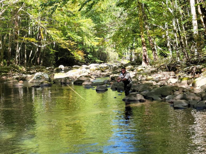
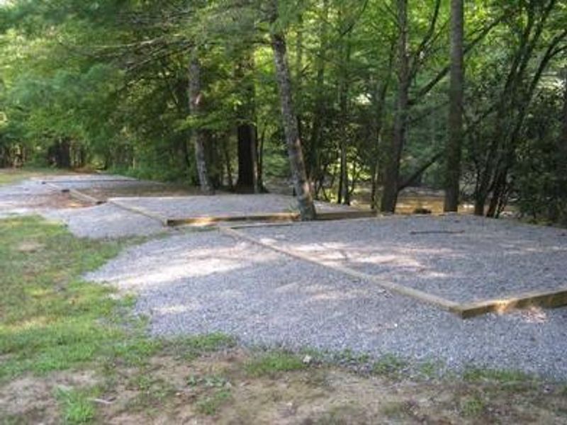
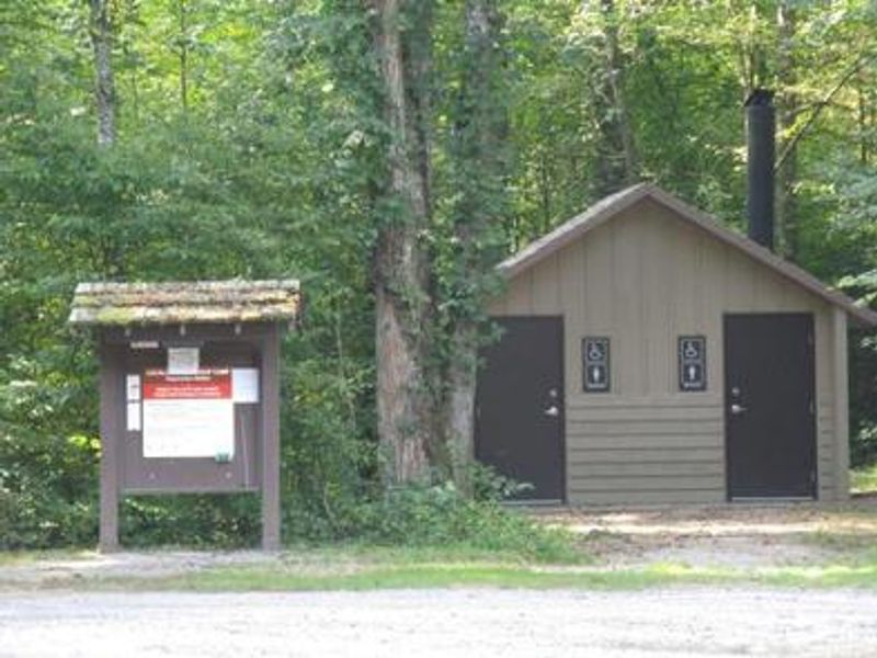
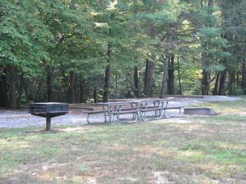
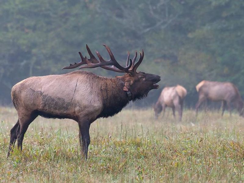
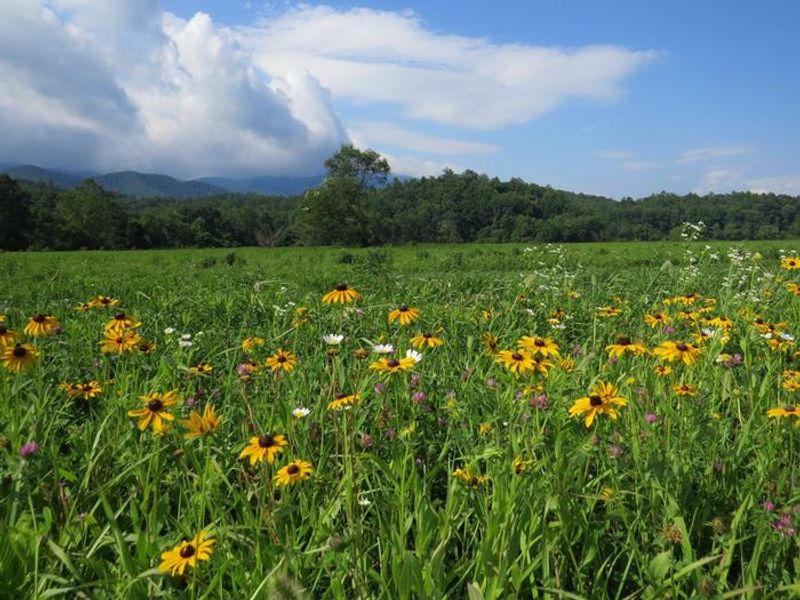
Located in the historic and remote Cataloochee Valley, this group campground provides a primitive outdoor experience surrounded by some of the most rugged mountains in Great Smoky Mountains National Park. The three tent-only sites can each accommodate groups of 7-25 people, and all three may be reserved together for larger gatherings. Each site features fire rings and picnic tables, with a comfort station nearby. No potable water, showers, or hookups are available. The Cataloochee area is famous for its reintroduced elk herd, which can often be spotted grazing in the valley during spring and fall. Hikers can access excellent trails directly from the valley, including the Boogerman Trail, a 6-mile loop through old-growth forest. The pristine creeks provide outstanding backcountry fishing for wild trout. The park preserves over 90 historic log structures, with several located near the campground including the Palmer House, which offers a self-guided museum experience. Note that access requires navigating a narrow, winding mountain road with a 3-mile gravel section containing many blind curves.
Directions
Exit I-40 at exit 20, 25 miles west of Asheville, NC (87 miles east of Knoxville, TN). Turn right onto Cove Creek Road 1/10 mile from I-40. Follow Cove Creek Road to the park boundary. The road transitions from pavement to gravel to pavement. Upon reaching pavement the second time, turn left. Go 2.5 miles and turn right onto a dirt road after crossing a bridge. Continue 1 mile to the group camp gate.
Location
Amenities
| Water | No |
| Fires Allowed | Yes |
| Toilets | Yes |
| Dump Station | No |
| Wifi | No |
| Pets Allowed | Yes |
| Showers | No |
| Electric Hookups | — |
| Water Hookups | — |
| Sewer Hookups | — |
| Camp Store | No |
| Price | $50 |
Vehicle
| Max RV Length | — |
| Max Trailer Length | — |
| Big Rig Friendly | No |
| Pull Through Sites | No |
Contact
| Dawn_Pekarchick@nps.gov | |
| Phone | +1 (828) 497-9270 |
Cell Service
| AT&T | None |
| Verizon | None |
| T-Mobile | None |
Availability
Photos
Community Posts
No posts yet. Be the first to share your experience!