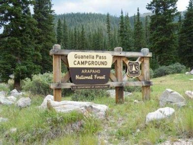
Guanella Pass
Currently closed for the season. The campground operates seasonally at 10,900 feet elevation, with opening typically dependent on snow conditions. Reservations are available through Recreation.gov; some first-come, first-served sites are also available. A forest order through December 31, 2028 restricts camping to designated campgrounds along Guanella Pass Scenic Byway.
Wheeled Vehicles in Wilderness
This order describes the prohibition of wheeled vehicles in all National Forest Wilderness Areas of the Rocky Mountain Region and any exceptions thereof.
Weed Free Forage Products
The purpose of this Order is to prevent the introduction or spread of noxious weeds.
Cave Closure and Restrictions
The purpose of this Order is to reduce the spread of the fungus that causes White nose syndrome and to protect bat species during critical biological periods.
About
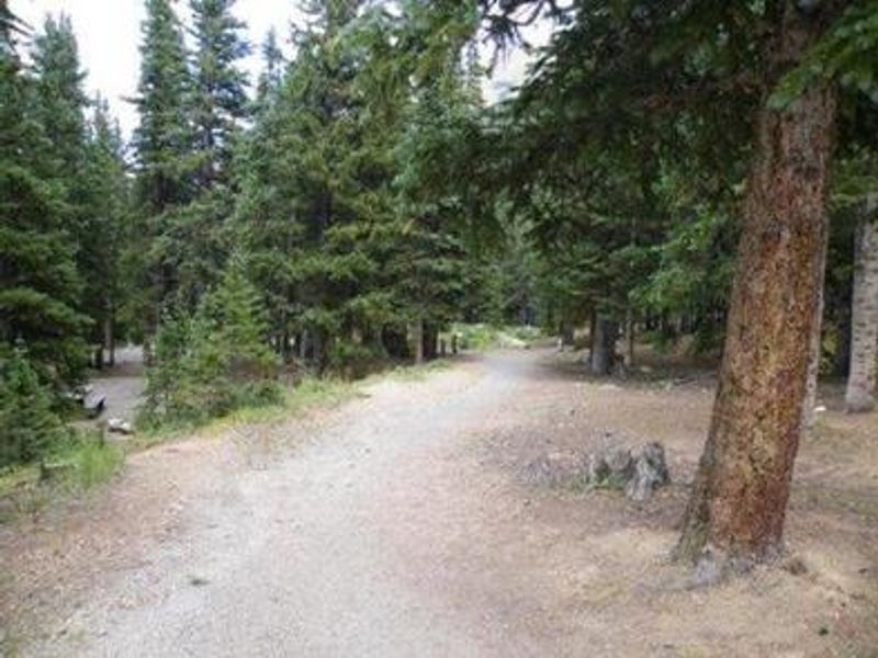
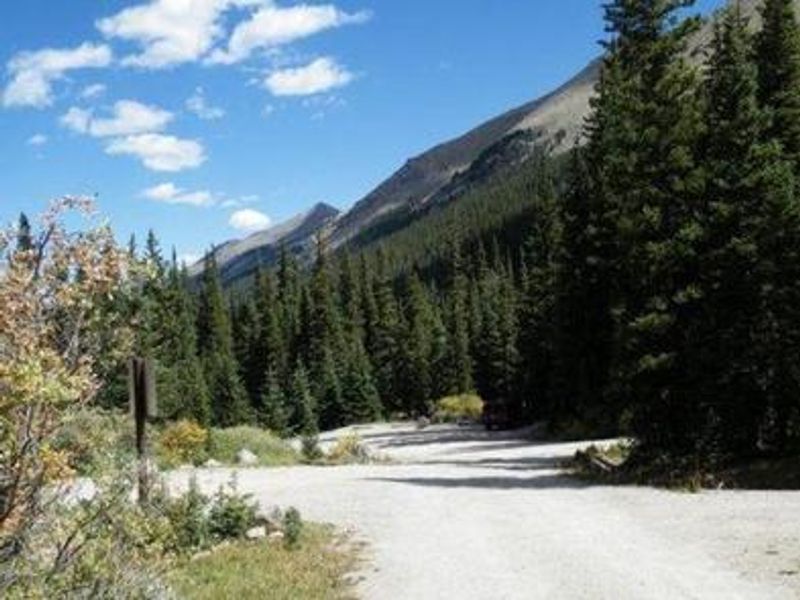
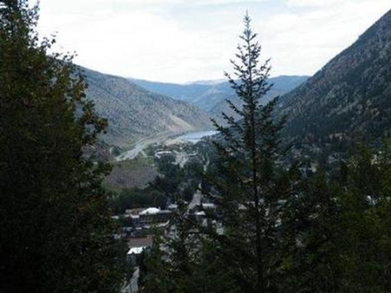
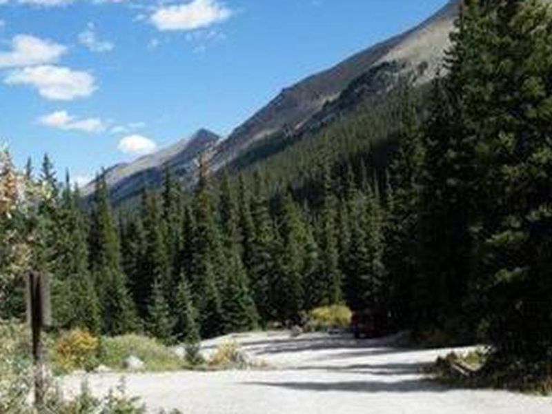
Guanella Pass Campground is a high-elevation destination on the Arapaho and Roosevelt National Forests, perched at 10,900 feet along the historic Guanella Pass Scenic Byway. The byway follows an old wagon route that once connected the mining towns of Georgetown and Grant. The campground is divided into two loops by the county road and South Clear Creek, with most sites in open terrain and some tent sites nestled among spruce trees. Cold nights are common at this elevation. The 18 campsites include 11 suitable for RVs with parking spurs ranging from 20 to 45 feet, and 7 tent-only sites. Large RVs are not recommended due to the winding byway. Each site features a tent pad, picnic table, fire ring, and charcoal grill. Amenities include potable water from hand pumps, vault toilets, and trash dumpsters. There are no hookups, showers, or dump station. Visitors can fish for trout in the South Fork of Clear Creek or hike to Silver Dollar Lake via a trail that climbs above treeline. Historic Georgetown, a former mining town, and nearby ghost towns offer additional exploration. A forest order restricts camping to designated campgrounds along the byway and prohibits fires outside designated rings.
Directions
From I-70 in Denver, take Exit 228 at Georgetown. Go south on County Road 381 (Guanella Pass Scenic Byway) for 9 miles. Alternatively, from Denver take Highway 285 to Grant, turn north onto Park County Road 62, and drive approximately 14.5 miles to the campground.
Amenities
| Water | Yes |
| Fires Allowed | Yes |
| Toilets | Yes |
| Dump Station | No |
| Wifi | No |
| Pets Allowed | Yes |
| Showers | No |
| Electric Hookups | — |
| Water Hookups | — |
| Sewer Hookups | — |
| Camp Store | No |
| Price | $26 |
Vehicle
| Max RV Length | 45ft |
| Max Trailer Length | 45ft |
| Big Rig Friendly | No |
| Pull Through Sites | No |
Contact
| VisitARP@usda.gov | |
| Phone | +1 (801) 226-3564 |
Cell Service
| AT&T | None |
| Verizon | None |
| T-Mobile | None |
Availability
Photos


Community Posts
No posts yet. Be the first to share your experience!