Grays Peak Group Camp
The campground is currently closed due to a road closure. Opening day has been delayed to May 15, 2026. The season runs through early October. Reservations available through Recreation.gov.
Heat Advisory issued July 20 at 12:11PM PDT until July 27 at 8:00PM PDT by NWS San Diego CA
* WHAT...High temperatures in the mid-80s to 90s expected below 6000 ft. Low temperatures in the low to mid-70s. * WHERE...Riverside County Mountains, San Bernardino County Mountains, and San Diego County Mountains. * WHEN...From 10 AM Wednesday to 8 PM PDT Monday. * IMPACTS...Hot temperatures may cause heat illnesses. * ADDITIONAL DETAILS...Widespread moderate HeatRisk. Elevated low temperatures will limit overnight relief from the heat.
From Recreation.gov
**Opening day has been delayed to May 15th, 2026, due to a road closure.** We sincerely apologize for any inconvenience this may cause and appreciate your understanding.
About
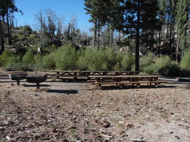
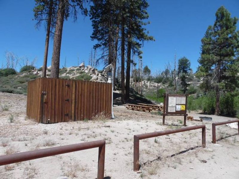
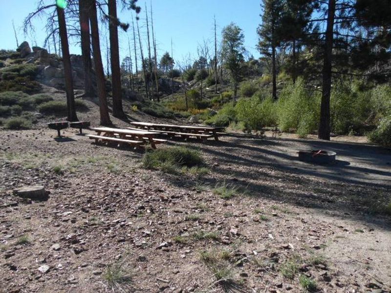
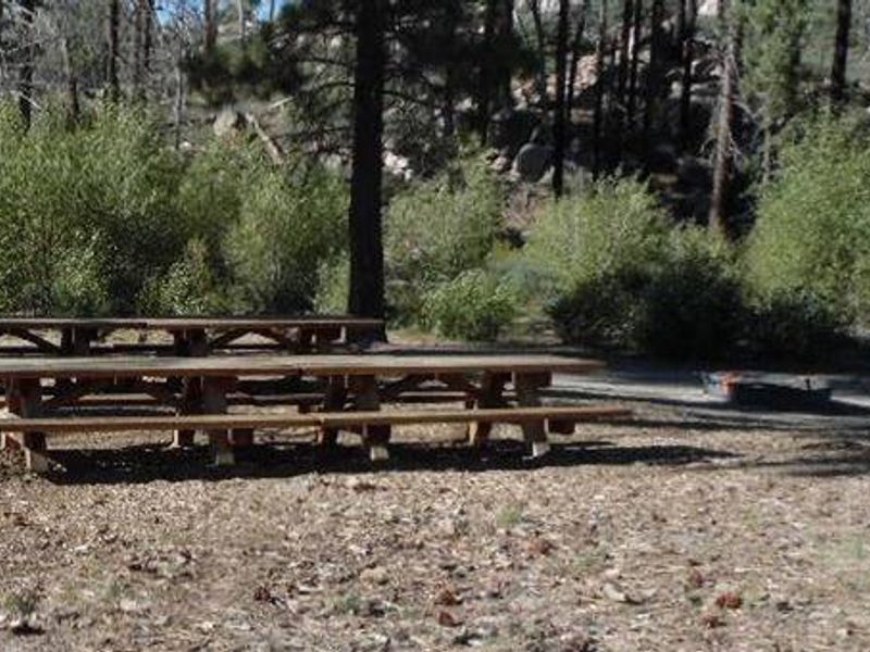
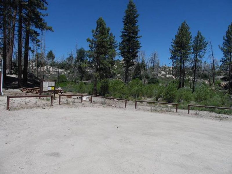
Grays Peak Group Campground is located 45 miles outside San Bernardino at an elevation of 7,132 feet in the San Bernardino National Forest. The site is set within a mixed conifer forest with a grassy understory, providing ample shade from mature trees while still offering open meadow areas. The single group site accommodates up to 40 people and a maximum of 8 vehicles. The campground provides access to several hiking and mountain biking trails. The Grays Peak Trail is a 3.4-mile route that connects to Hanna Flat Campground, starting with steep climbing before transitioning to a gradual incline. The Butler Peak Fire Lookout is a short 1-mile hike or bike from camp. Big Bear Lake is nearby for fishing and boating, with catches including trout, bluegill, crappie, catfish, and largemouth bass. Amenities include picnic tables, a barbecue grill, and a group fire ring. Vault toilets are available, but there is no potable water or trash service. Campers must bring their own water and pack out all trash. Reservations are made through Recreation.gov.
Directions
Take I-10 east to State Highway 330 toward Running Springs. Turn onto State Highway 18 and continue to Big Bear Lake Dam but do not cross the dam. Drive straight on State Highway 38 to Fawnskin and turn left on Rim of the World Drive (Forest Route 3N14). Continue for just over a mile to Forest Route 2N13. Follow Forest Route 2N13 for a short distance to the campground.
Amenities
| Water | No |
| Fires Allowed | Yes |
| Toilets | Yes |
| Dump Station | No |
| Wifi | No |
| Pets Allowed | Yes |
| Showers | No |
| Electric Hookups | — |
| Water Hookups | — |
| Sewer Hookups | — |
| Camp Store | No |
| Price | $149 |
Vehicle
| Max RV Length | 23ft |
| Max Trailer Length | 20ft |
| Big Rig Friendly | No |
| Pull Through Sites | No |
Contact
| clm@clm-services.com | |
| Phone | +1 (909) 866-8550 |
Cell Service
| AT&T | None |
| Verizon | None |
| T-Mobile | None |
Availability
Photos
Community Posts
No posts yet. Be the first to share your experience!