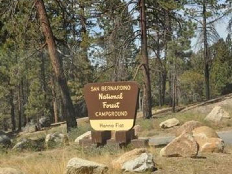
Hanna Flat
Open for the 2026 season from April 17 through October 25. Reservations available through Recreation.gov with some sites first-come, first-served. Potable water and restrooms are not available; campers must bring their own water supply. Fire restrictions may be in effect depending on conditions. Bears frequent the area; use provided bear boxes for food and trash storage.
Flood Watch issued October 9 at 8:31PM PDT until October 11 at 8:00PM PDT by NWS San Diego CA
* WHAT...Flooding caused by excessive rainfall continues to be possible. * WHERE...A portion of Southwest California, including the following areas, Apple and Lucerne Valleys, Coachella Valley, Riverside County Mountains, San Bernardino County Mountains, San Diego County Coastal Areas, San Diego County Deserts, San Diego County Mountains, San Diego County Valleys and San Gorgonio Pass near Banning. * WHEN...From Saturday evening through Sunday evening. * IMPACTS...Excessive runoff may result in flooding of rivers, creeks, streams, and other low-lying and flood-prone locations. * ADDITIONAL DETAILS... - Tropical Storm Rachel will bring periods of moderate to heavy rain to all of San Diego County, Riverside County mountains and deserts, and San Bernardino County mountains and deserts. Maximum hourly rainfall rates of 0.50 to 0.60 inches per hour are possible for San Diego Coast and Valleys. Maximum hourly rainfall rates of 0.50 to 0.70 inches per hour are possible across area deserts and 0.70 to 1 inch per hour rates are possible across area mountains. Heaviest rainfall is most likely late Saturday night through Sunday afternoon. - https://www.weather.gov/safety/flood
Fireworks and Explosives are always Prohibited
Fireworks and explosives (including explosive targets) are always prohibited on national forest lands. The prohibition of fireworks and exploding targets on national forest system lands is part of a set of permanent fire safety regulations in the Code of Federal Regulations (CFR), listed below.…
Temporary Phone Outage
Temporary Phone OutageDue to a local power outage at the San Bernardino National Forest, Supervisors Office our telephone system is not working. This includes all offices and Visitor Centers. We have set up a temporary phone number for PAL information. Please call (909) 382-7993 for Fuelwood…
About
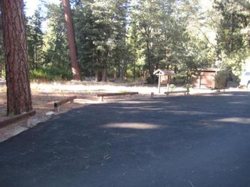
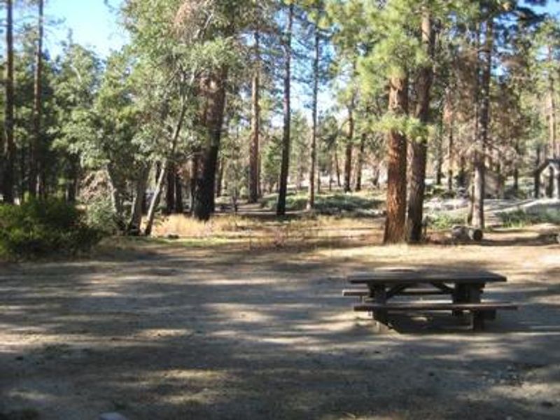
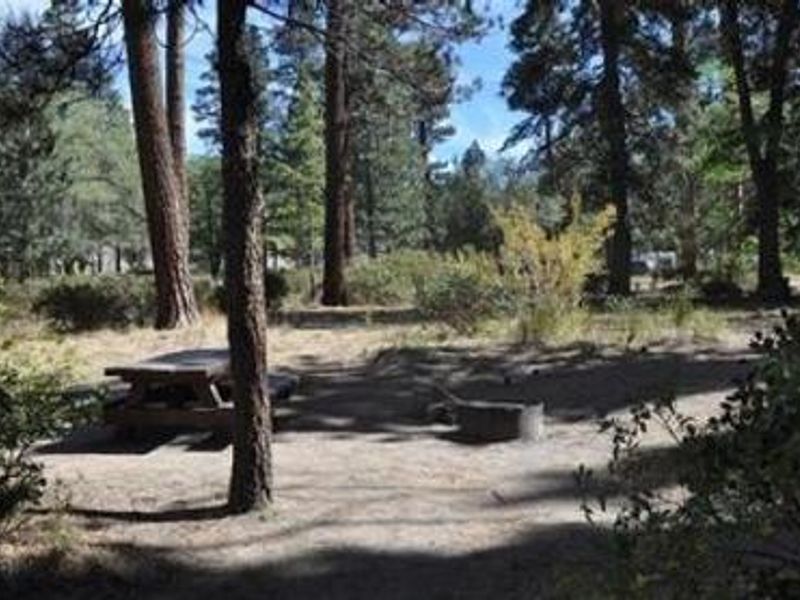
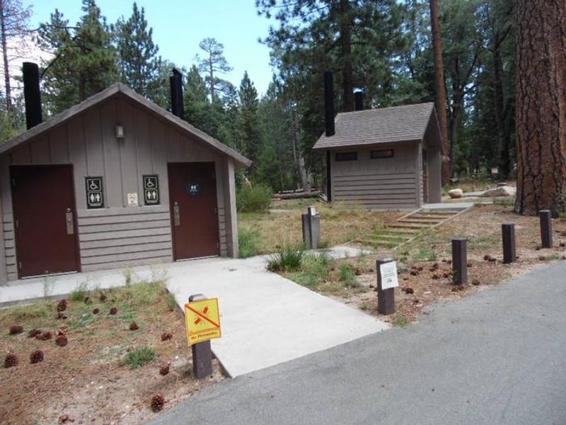
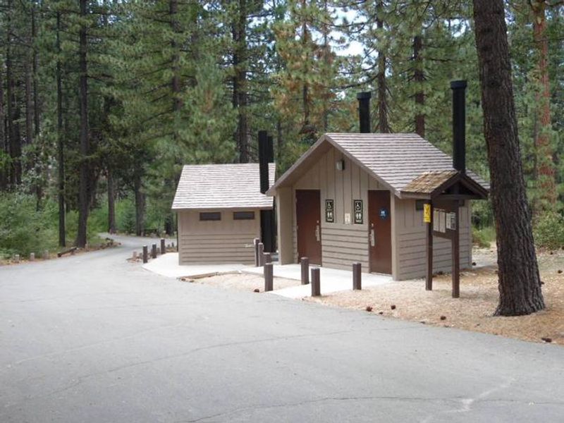
Hanna Flat Campground is nestled in the pine-covered mountains of Southern California within San Bernardino National Forest. Located at an elevation of 7,200 feet, the campground provides a heavily shaded retreat with some sites offering extra privacy due to thick shrub growth. Each of the 80+ sites comes with a picnic table, fire ring with grill, and access to bear boxes for food storage. A number of hiking and biking trails are nearby, including the 3.5-mile Gray's Peak Trail that connects to Hanna Flat Trail, and 10 miles of unmarked trails leading to Coxcomb Creek. Big Bear Lake is a short drive away, offering fishing for trout, bluegill, crappie, catfish, and largemouth bass, as well as boating opportunities. The campground is accessed via Forest Road 3N14, a rough dirt road approximately 2.5 miles from Rim of the World Drive. This road may be impassable for large RVs or trailers, and RVs over 26 feet are not recommended due to limited turnaround space. Restrooms and potable water are not available due to well issues; campers must bring their own water. A campground host is on site and firewood is available for purchase.
Directions
From Running Springs, travel east on Highway 18 toward Big Bear Lake. Do not cross Big Bear Lake Dam. Highway 18 becomes Highway 38. Continue to the Fawnskin Fire Station and turn left onto Rim of the World Drive (Forest Road 3N14). Drive 2.5 miles to the campground. Note: More than a mile of the road is rough dirt terrain that may be impassable for large RVs or trailers.
Amenities
| Water | No |
| Fires Allowed | Yes |
| Toilets | Yes |
| Dump Station | No |
| Wifi | No |
| Pets Allowed | Yes |
| Showers | No |
| Electric Hookups | — |
| Water Hookups | — |
| Sewer Hookups | — |
| Camp Store | No |
| Price | $33 |
Vehicle
| Max RV Length | 28ft |
| Max Trailer Length | 28ft |
| Big Rig Friendly | No |
| Pull Through Sites | No |
Contact
| Phone | +1 (909) 382-2790 |
Cell Service
| AT&T | None |
| Verizon | None |
| T-Mobile | None |
Availability
Photos

Community Posts
No posts yet. Be the first to share your experience!