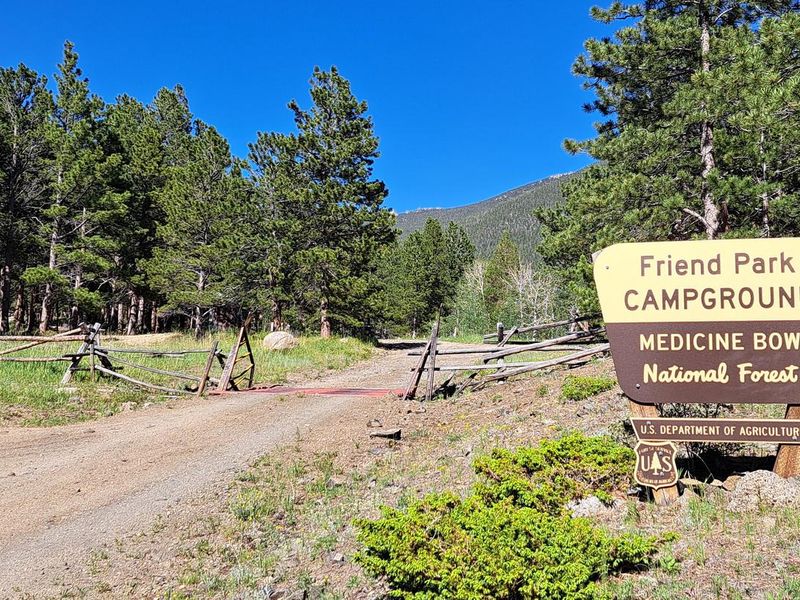
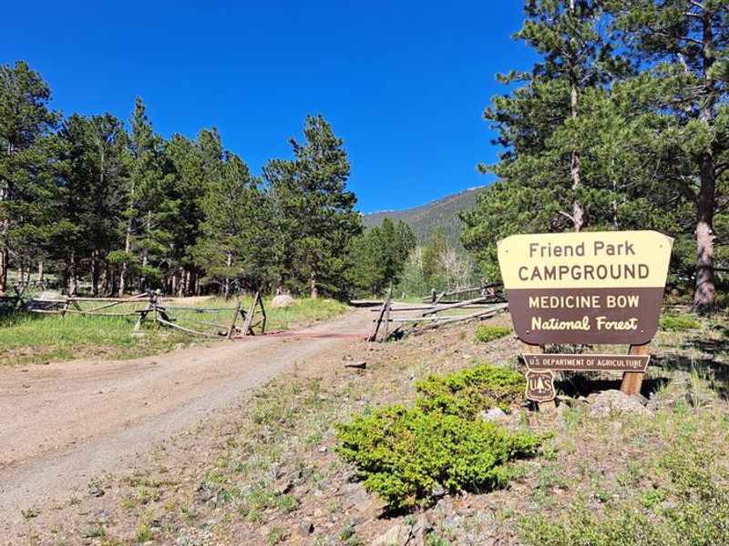
Closed
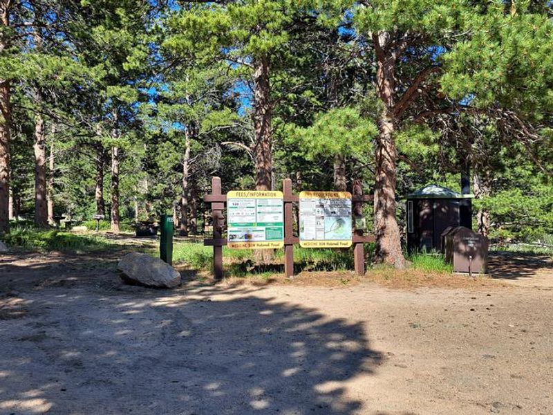
The campground is currently closed for the season and reopens May 21, 2026. Some sites are reservable through Recreation.gov; others are first-come, first-served. Potable water is typically available early June through late November. Road access is usually closed mid-October to mid-May.
About
Friend Park Campground occupies a scenic spot at the base of Laramie Peak, the highest point in the Laramie Range at 10,200 feet and a historic landmark for Oregon Trail pioneers. At 7,572 feet elevation, the campground's 11 sites sit within a mature forest of ponderosa pine, aspen, and fir, with large rock formations throughout. Three walk-in tent sites offer views of Laramie Peak, while the remaining sites accommodate both tents and trailers.
The campground serves as a hub for multiple recreation activities. The Laramie Peak Connector Trail departs directly from the campground, linking to the Friend Park Trail and Laramie Peak Trail for hikers, mountain bikers, and horseback riders. OHV users will find their trailhead a quarter mile from camp. Friend Creek flows just below the campground with fishing opportunities in the stream and beaver ponds along the connector trail.
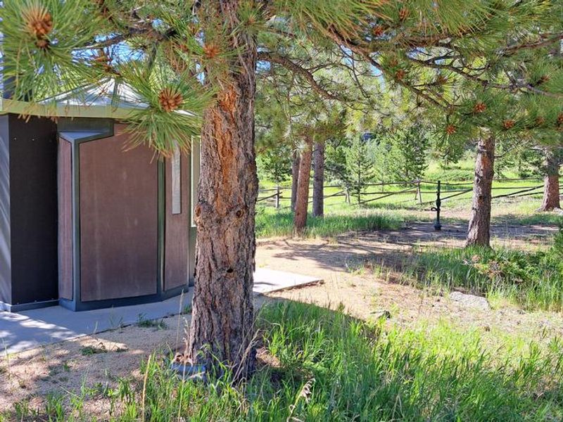
Facilities include two vault toilets, potable water (typically available early June through late November), picnic tables, fire rings, and pedestal grills. No hookups or showers are available. Horses are not permitted in the campground itself. The access road is typically impassable from mid-October to mid-May due to snow, and county roads in the area are not maintained November through April.
Directions
From Douglas, WY: Take WY 94 south 17 miles, continue on Esterbrook Road (CR 5) south 11 miles to Esterbrook, then southwest 15 miles on CR 5. Turn left on Forest Road 671 for 2 miles, then left on Forest Road 661 for 1 mile to the campground. Transit time approximately 1.5 hours. From Rock River: Take US 30/287 north 3 miles, turn right on Fetterman Road (CR 61) for 33.6 miles, right on Garrett Road (CR 713) for 6.7 miles, left on Bear Creek Road (CR 77) for 7.8 miles, continue on FR 671 for 6 miles, then right on Friend Park Road 1 mile to campground. Transit time approximately 2 hours. Bear Creek Road is single-lane and rough.