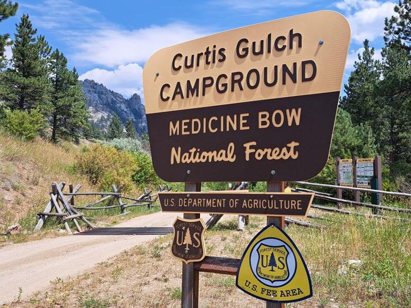
Curtis Gulch Campground
Currently closed for the season. The campground typically opens mid-May to early June and operates through early November, weather dependent. During the off-season (approximately mid-October through mid-May), the fee area is closed but dispersed camping may be available at no charge when accessible. No water or trash services are provided outside the operating season, and road maintenance and snow removal are not performed from November 1 through April 30.
Red Flag Warning issued October 9 at 6:49PM MDT until October 9 at 7:00PM MDT by NWS Cheyenne WY
...RED FLAG WARNING WILL EXPIRE AT 7 PM MDT THIS EVENING FOR PINE RIDGE/NEBRASKA NATIONAL FOREST AND A PORTION OF WY... ...FIRE WEATHER WATCH REMAINS IN EFFECT SATURDAY AFTERNOON DUE TO WIND AND LOW RELATIVE HUMIDITY FOR PINE RIDGE/NEBRASKA NATIONAL FOREST, BOX BUTTE/SOUTH SIOUX/NIOBRARA RIVER, LOWER NORTH PLATTE RIVER BASIN/SCOTTSBLUFF NATIONAL MONUMENT, LODGEPOLE CREEK/SOUTHERN NEBRASKA PANHANDLE, AND GOSHEN/MIDDLE-LOWER NORTH PLATTE RIVER BASIN... The temperature has dropped and the relative humidity has increased above critical levels. Hence, the Red Flag Warning will be allowed to expire.
Wheeled Vehicles in Wilderness
This order describes the prohibition of wheeled vehicles in all National Forest Wilderness Areas of the Rocky Mountain Region and any exceptions thereof.
Weed Free Forage Products
The purpose of this Order is to prevent the introduction or spread of noxious weeds.
About
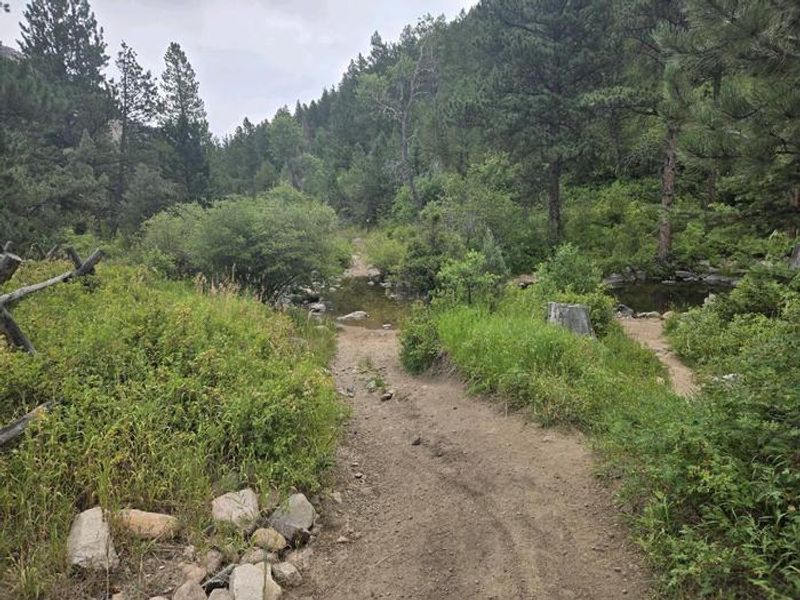
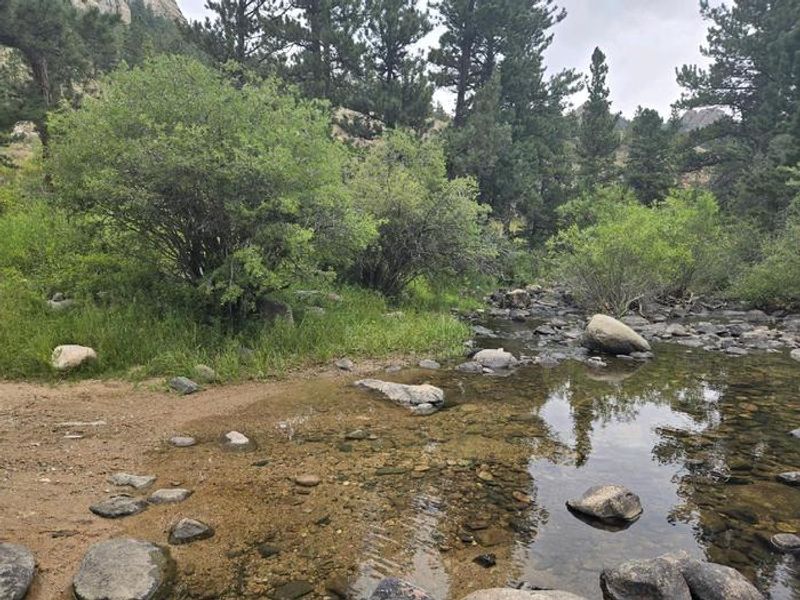
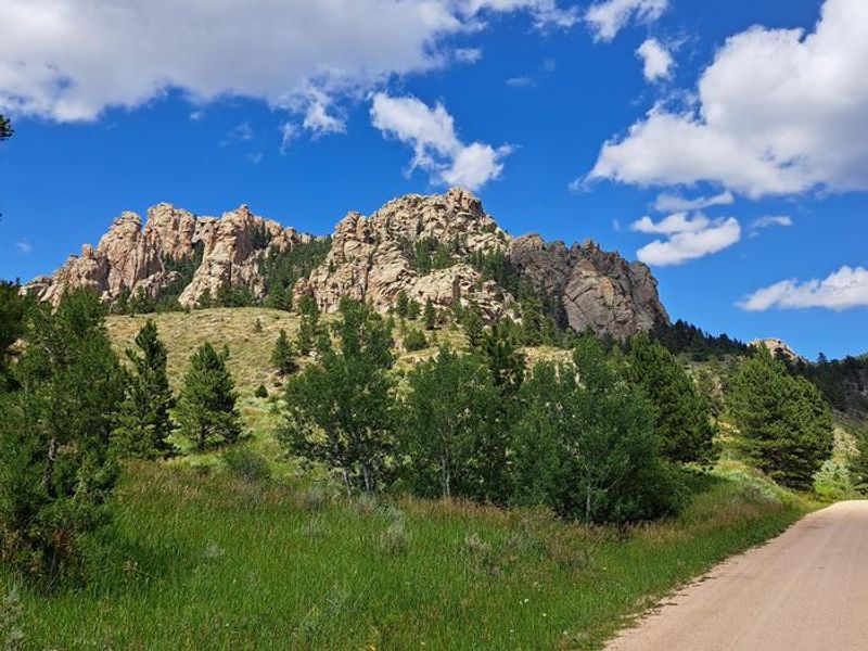
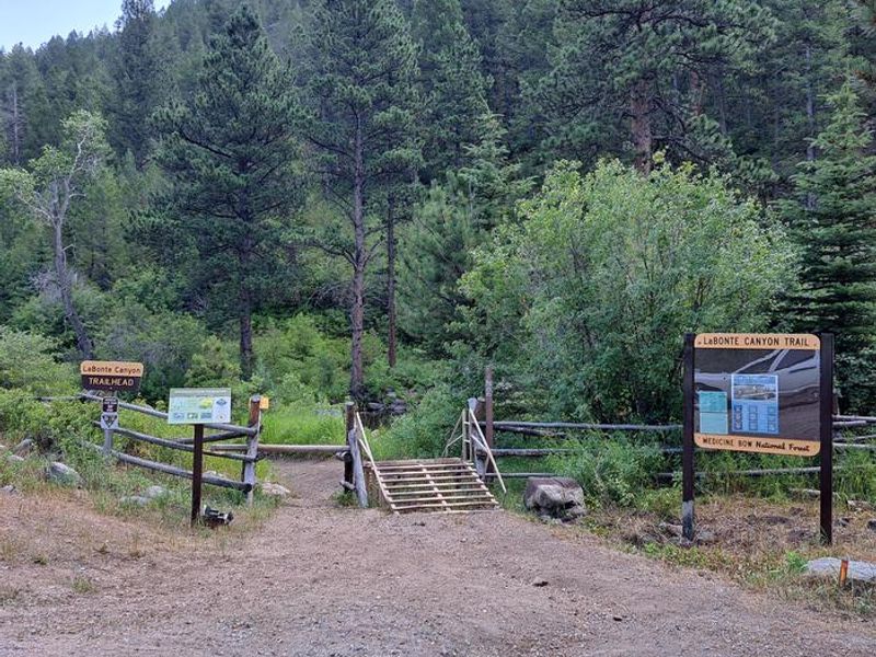
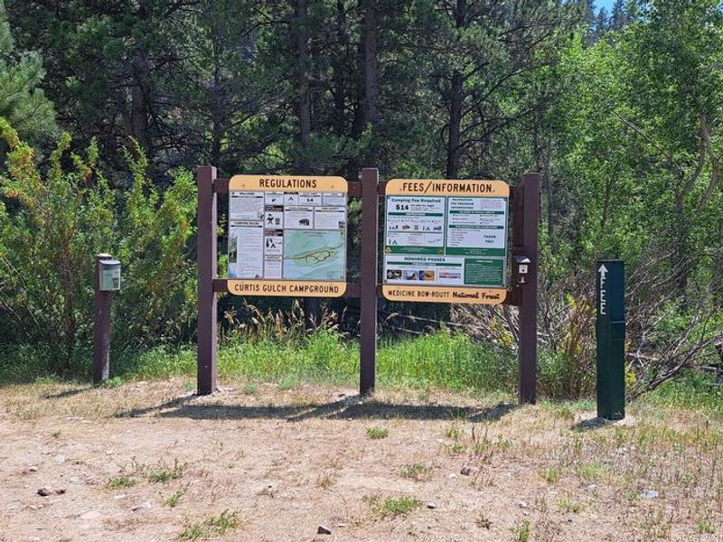
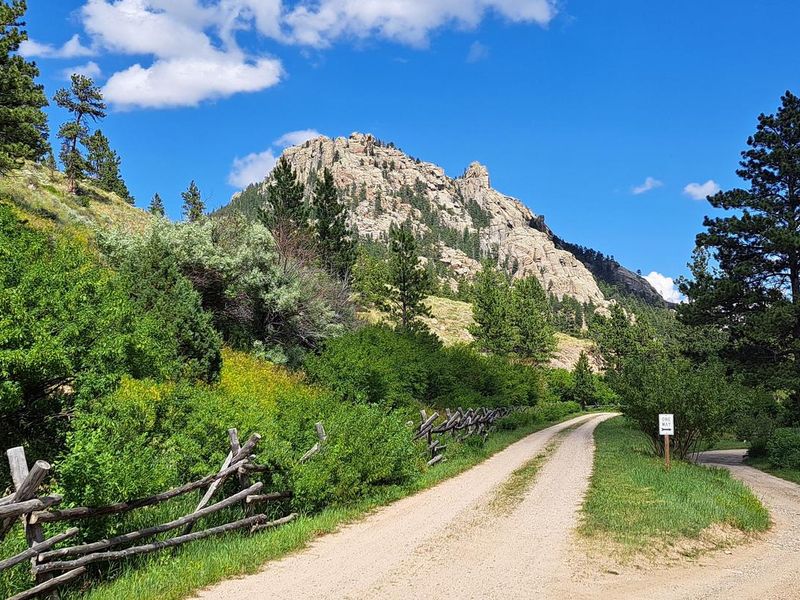
Curtis Gulch Campground is tucked away at 6,640 feet elevation at the end of a 4-mile drive on Forest Road 658 into scenic LaBonte Canyon. The canyon's steep granite walls, mature conifer forest with aspen patches, and LaBonte Creek running through its entire length make this one of the most popular destinations in the Douglas Ranger District. The six campsites offer picnic tables, fire rings, pedestal grills, a vault toilet, potable water from a pump well, and trash service during the operating season. Recreation opportunities abound directly from the campground. LaBonte Creek is stocked annually with rainbow trout by Wyoming Game and Fish. The LaBonte Canyon Trail departs from the back of the campground, and the Big Bear Trail System begins just a quarter mile up the canyon. Both trail systems are open to OHVs 50 inches or less, as well as hiking, mountain biking, and horseback riding. The non-motorized Curtis Gulch Trail starts at the nearby trailhead. Wyoming State OHV stickers are required for motorized trail use. The gravel access road is generally passable by car when dry but may require 4-wheel drive after moderate or heavy rain. Sites accommodate trailers under 22 feet with a limit of one RV or trailer per site, plus up to 2 vehicles and 8 people. Horses are not permitted in the campground itself. When fee area signs are removed (approximately mid-October through mid-May), dispersed camping is allowed at no charge but without water or trash services.
Directions
From Douglas, WY: Travel 20 miles southwest on State Highway 91, then 14 miles south on County Road 16 (becomes Albany County Road 61), then 4 miles east on Forest Road 658. Pavement ends about 25 miles from Douglas; the remainder is gravel and accessible by car when dry but may require 4WD after rain.
Amenities
| Water | Yes |
| Fires Allowed | Yes |
| Toilets | Yes |
| Dump Station | No |
| Wifi | No |
| Pets Allowed | Yes |
| Showers | No |
| Electric Hookups | — |
| Water Hookups | — |
| Sewer Hookups | — |
| Camp Store | No |
| Price | $14 |
Vehicle
| Max RV Length | — |
| Max Trailer Length | 22ft |
| Big Rig Friendly | No |
| Pull Through Sites | No |
Contact
| Phone | +1 (307) 358-4690 |
Cell Service
| AT&T | None |
| Verizon | None |
| T-Mobile | None |
Useful Links
| View on Recreation.gov | |
| USFS Curtis Gulch Campground |
Availability
Photos
Community Posts
No posts yet. Be the first to share your experience!