East Fork
The campground is open for the 2026 season. Operates seasonally from mid-May through mid-October. Reservations available via Recreation.gov; some sites also available first-come, first-served.
Flood Warning issued September 20 at 9:54AM EDT until September 20 at 2:30PM EDT by NWS Charleston WV
* WHAT...Flooding caused by excessive rainfall is expected. * WHERE...Northwestern Boone County in central West Virginia... Southern Cabell County in central West Virginia... Kanawha County in central West Virginia... Lincoln County in central West Virginia... Southwestern Clay County in north central West Virginia... Western Nicholas County in southeastern West Virginia... Southwestern Putnam County in western West Virginia... Northeastern Wayne County in western West Virginia... * WHEN...Until 230 PM EDT. * IMPACTS...Flooding of rivers, creeks, streams, and other low-lying and flood-prone locations is imminent or occurring. Streams continue to rise due to excess runoff from earlier rainfall. * ADDITIONAL DETAILS... - At 953 AM EDT, Doppler radar and automated rain gauges indicated heavy rain due to thunderstorms. Flooding is ongoing or expected to begin shortly in the warned area. Between 1.5 and 3 inches of rain have fallen. Additional light rainfall will continue across the warned area. - Some locations that will experience flooding include... Charleston, Huntington, Nitro, Wayne, Hamlin, Beech Fork State Park, Jefferson, South Charleston, St. Albans, Dunbar, Barboursville, Chesapeake, Marmet, Ceredo, Belle, Clendenin, Cedar Grove, East Bank, Glasgow, and Alum Creek. - This includes the following highways... Interstate 77 in West Virginia between mile markers 96 and 109. Route 119 between mile markers 58 and 80. Interstate 64 in West Virginia between mile markers 9 and 11...and between mile markers 46 and 57. West Virginia Turnpike between mile markers 85 and 95. Interstate 79 between mile markers 1 and 10. - http://www.weather.gov/safety/flood
Flood Warning issued September 20 at 9:05AM EDT until September 20 at 2:00PM EDT by NWS Charleston WV
* WHAT...Flooding caused by excessive rainfall this morning is expected. * WHERE...Northern Boyd County in northeastern Kentucky... Southeastern Greenup County in northeastern Kentucky... Southwestern Gallia County in southeastern Ohio... Lawrence County in southeastern Ohio... Northern Cabell County in central West Virginia... Northern Kanawha County in central West Virginia... Southwestern Roane County in central West Virginia... Jackson County in northwestern West Virginia... Southern Mason County in western West Virginia... Putnam County in western West Virginia... Northern Wayne County in western West Virginia... * WHEN...Until 200 PM EDT. * IMPACTS...Flooding of rivers, creeks, streams, and other low-lying and flood-prone locations is imminent or occurring. Streams continue to rise due to excess runoff from earlier rainfall. * ADDITIONAL DETAILS... - At 900 AM EDT, Doppler radar and automated rain gauges indicated heavy rain due to thunderstorms. Flooding is ongoing or expected to begin shortly in the warned area. Between 1.5 and 2.8 inches of rain have fallen. Additional rounds of light rain showers will continue to be possible. - This includes the following highways... Interstate 77 in West Virginia between mile markers 109 and 148. Interstate 64 in West Virginia between mile markers 1 and 8...and between mile markers 10 and 46. Interstate 79 between mile markers 11 and 30. - http://www.weather.gov/safety/flood
About
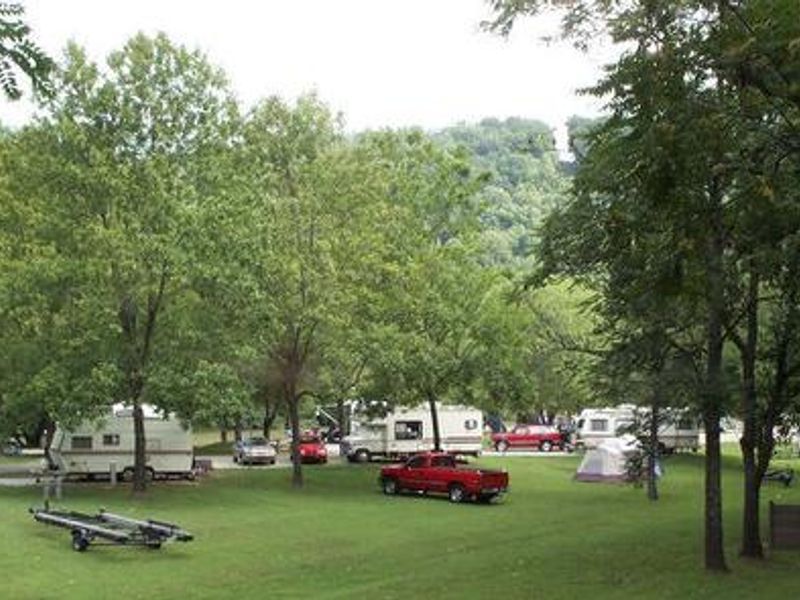
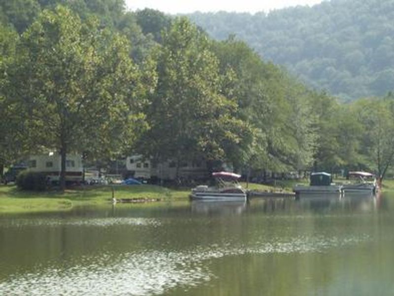
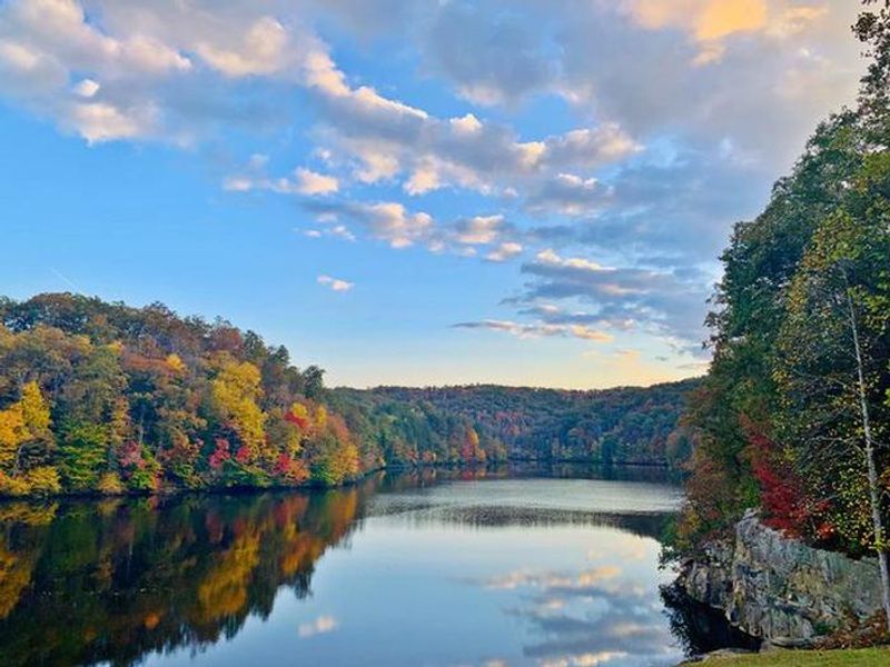
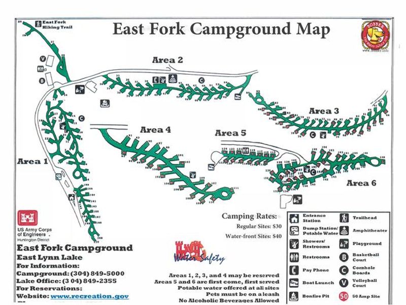
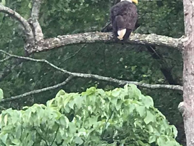
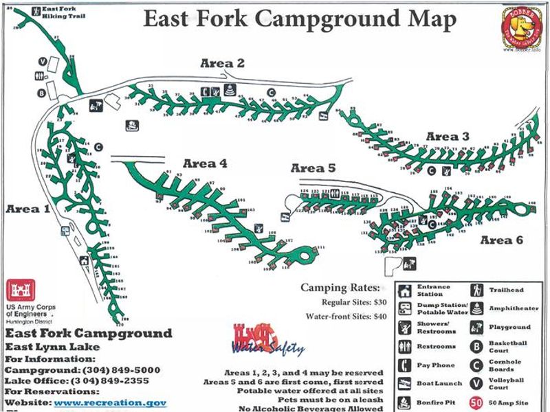
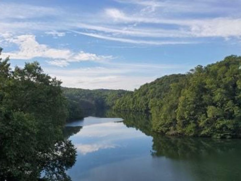
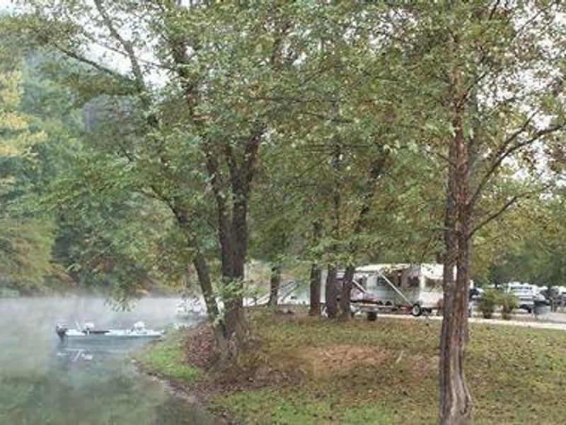
East Fork Campground is located on the shores of East Lynn Lake, a 12-mile reservoir stretching along the East Fork of Twelvepole Creek in Wayne County, West Virginia. Managed by the U.S. Army Corps of Engineers Huntington District, the campground provides 167 developed sites with electrical and water hookups, making it suitable for both tent campers and RVs. Facilities include flush toilets, vault toilets, hot showers, potable water, and a dump station. The lake offers 44 miles of shoreline and supports extensive water recreation including boating, water skiing, canoeing, and swimming. Anglers fish for largemouth, smallmouth, and striped bass, black crappie, walleye, channel catfish, and muskellunge among 29 documented fish species. The 1.5-mile East Fork Trail begins within the campground, and additional trails in the area include the Damsite Trail, Overlook Trail, and Lakeside Trail. The surrounding landscape features rolling hills forested with upland hardwoods. Wildlife includes black bears, white-tailed deer, wild turkeys, grouse, and waterfowl. The adjacent East Lynn Lake Wildlife Management Area encompasses 25,000 acres open to hunting, fishing, and hiking.
Directions
From I-64 in Huntington, WV take Exit 8, south on HWY 152 to Wayne, WV. Travel east on Route 37 for 19 miles and follow signs into the campground.
Nearby Campgrounds
Amenities
| Water | Yes |
| Fires Allowed | Yes |
| Toilets | Yes |
| Dump Station | Yes |
| Wifi | — |
| Pets Allowed | Yes |
| Showers | Yes |
| Electric Hookups | Yes |
| Water Hookups | Yes |
| Sewer Hookups | No |
| Camp Store | — |
| Price | $35 |
Vehicle
| Max RV Length | 80ft |
| Max Trailer Length | 80ft |
| Big Rig Friendly | — |
| Pull Through Sites | No |
Contact
| Phone | +1 (304) 849-5000 |
Cell Service
| AT&T | None |
| Verizon | None |
| T-Mobile | None |
Availability
Photos
Community Posts
No posts yet. Be the first to share your experience!