Dewey Lake Shelter
This is a day-use picnic shelter facility, not an overnight campground. Shelters are reservable through Recreation.gov with check-in at 10:00 AM and checkout at 10:00 PM the same day. Overnight camping is not permitted at the shelters.
Special Weather Statement issued October 10 at 6:20AM EDT by NWS Jackson KY
A period of strong wind gusts is expected on today as the remnants of Hurricane Isaias move into eastern Kentucky. Southeasterly winds of 10 to 20 mph, with gusts up to 35 mph are expected. Isolated gusts up to around 40 mph are possible in exposed areas near Lake Cumberland. The strongest winds are expected from late morning through the afternoon and should coincide with the arrival of the leading bands of rain. Once rainfall becomes steady, winds will lighten. The gusty winds could blow around unsecured outdoor objects and decor.
About
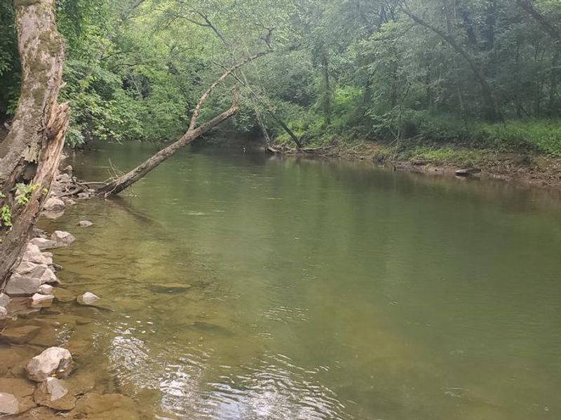
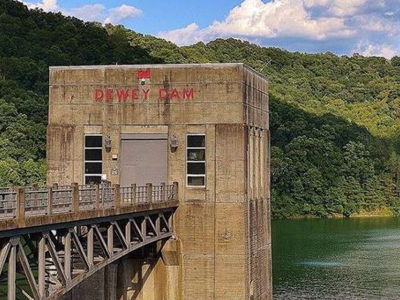
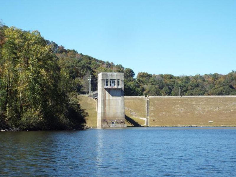
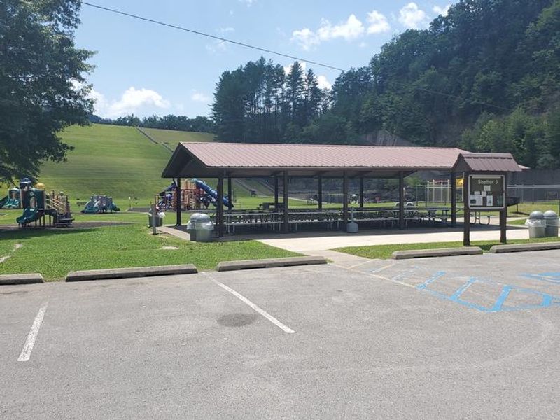
Dewey Lake Shelter is a day-use facility located on the scenic shores of Dewey Lake, just west of the Appalachian Mountains in Floyd County, Kentucky. Managed by the US Army Corps of Engineers, the area offers four covered picnic shelters that can accommodate groups of up to 150 people. Each shelter has 15-amp electric hookups, paved driveways, and is situated on open, grassy areas with space for children to play. Shelter 2 is adjacent to a baseball field, Shelters 1 and 3 are near the Dewey Dam Outflow Area, and Shelter 4 at Picnic Hollow provides hiking trail access. This is a day-use only facility with same-day reservations (check-in 10:00 AM, checkout 10:00 PM). Overnight camping is not permitted at the shelters. The lake itself offers fishing for bass, crappie, bluegill, catfish, and muskie. Jenny Wiley State Resort Park borders the western shore and provides additional amenities including a marina with boat rentals, hiking and biking trails, and lodging. Note: A separate primitive campground at Dewey Lake (accessible by boat or a 0.25-mile hike) offers 10 lakefront campsites with fire rings and tables, operating May through October on an honor-system fee basis. That facility is managed separately from these picnic shelters.
Directions
From US 23 turn at the red light toward Highlands Hospital (Route 302) for about one mile, turn right onto Route 3 for about 1.5 miles. After the first overpass, turn right onto 302 Lake Road, take left at bottom of ramp. Dewey Recreation Area Entrance is one mile on right.
Amenities
| Water | — |
| Fires Allowed | No |
| Toilets | Yes |
| Dump Station | No |
| Wifi | — |
| Pets Allowed | — |
| Showers | No |
| Electric Hookups | — |
| Water Hookups | — |
| Sewer Hookups | — |
| Camp Store | No |
| Price | $80 |
Vehicle
| Max RV Length | — |
| Max Trailer Length | — |
| Big Rig Friendly | — |
| Pull Through Sites | No |
Contact
| Phone | +1 (606) 886-6709 |
Cell Service
| AT&T | Yes |
| Verizon | None |
| T-Mobile | None |
Availability
Photos

Community Posts
No posts yet. Be the first to share your experience!