Dru Barner Campground
The campground is currently open on a first-come, first-served basis. Water is not available at this time. Site 10 remains closed until further notice. The campground operates year-round but the access road is not plowed during winter.
National Forest System Roads
Follow California Vehicle Code on National Forest System Roads
Fireworks and Explosives are always Prohibited
Fireworks and explosives (including explosive targets) are always prohibited on national forest lands. The prohibition of fireworks and exploding targets on national forest system lands is part of a set of permanent fire safety regulations in the Code of Federal Regulations (CFR), listed below.…
Fire Restrictions are in Effect Forest Wide
Fire Restrictions are in effect forest wide. No campfires except in existing stoves, charcoal grills, or fire rings provided in the Recreation Sites listed in Exhibit A in the Forest Order and actively serviced by a camp host.No charcoal firesCamp stoves, lanterns and propane fire rings are…
About
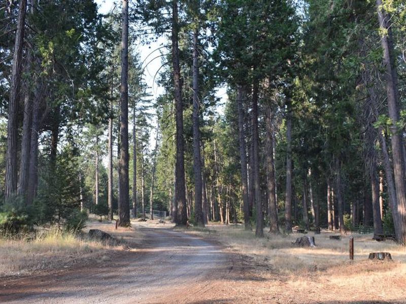
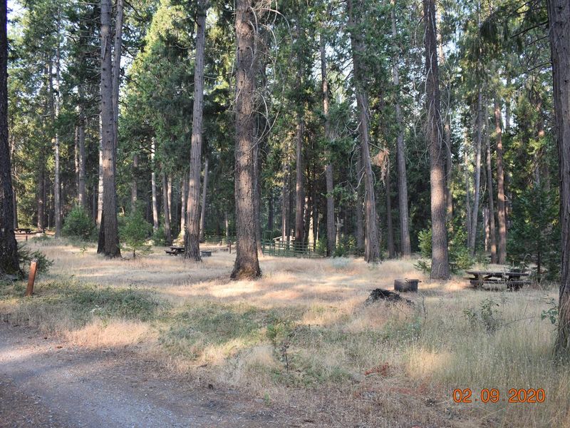
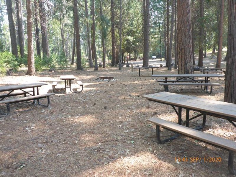
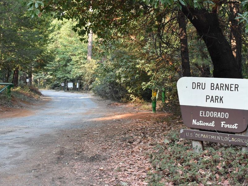
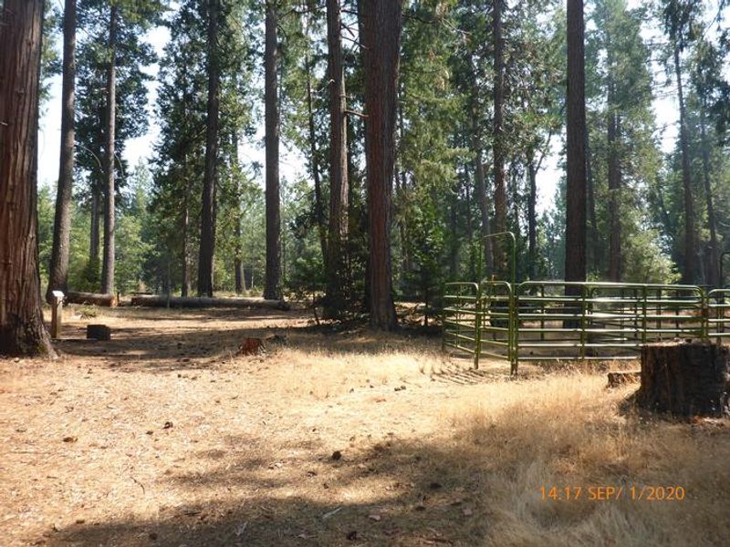
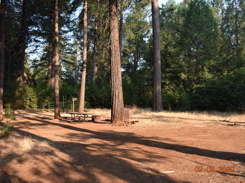
Dru Barner Campground sits on a ridgeline of the Hornblende Mountains within Eldorado National Forest, just 6 miles from Georgetown, California. The 48-site campground was designed with equestrians in mind, featuring horse corrals, hitching posts, high-line posts, and four water troughs. Several pull-through sites accommodate longer horse trailers and RVs. The campground also includes a rentable group kitchen area with two large barbecue grills, serving tables, a large fire ring, and 11 picnic tables. To the north, Otter Creek has carved a forested canyon through stands of Ponderosa pine, sugar pine, Douglas-fir, white fir, and incense cedar interspersed with black oak and madrone. The campground provides access to non-motorized trails and sits close to the Rock Creek Trail System, which offers motorized, non-motorized, and multiple-use trails. Stumpy Meadows Reservoir lies about 15 miles east for water-based recreation including kayaking, canoeing, and fishing. Wildlife in the area includes wild turkeys, deer, black bears, coyotes, and raccoons. Bear-proof food storage containers are available at six campsites. The historic Marshall Gold Discovery State Historic Park in Coloma is about 16 miles southeast, offering gold panning demonstrations and Gold Rush history.
Directions
From Georgetown, CA, continue on Main Street which becomes Wentworth Springs Road (County Route 63) for approximately 6 miles. Turn left onto Forest Road 13N16 and travel north for approximately 1.2 miles. Turn left onto Forest Road 13N58 (Bottlehill Road) and travel west approximately 0.5 miles. The campground entrance is on the left.
Amenities
| Water | No |
| Fires Allowed | Yes |
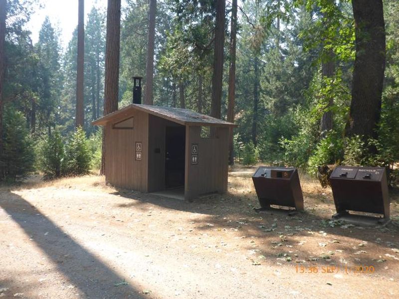
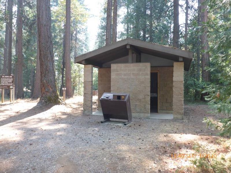
| Toilets | Yes |
| Dump Station | No |
| Wifi | — |
| Pets Allowed | Yes |
| Showers | No |
| Electric Hookups | — |
| Water Hookups | — |
| Sewer Hookups | — |
| Camp Store | — |
| Price | $3 - $8 |
Vehicle
| Max RV Length | 60ft |
| Max Trailer Length | 50ft |
| Big Rig Friendly | — |
| Pull Through Sites | No |
Contact
| Phone | +1 (530) 333-4312 |
Cell Service
| AT&T | Yes |
| Verizon | Yes |
| T-Mobile | Yes |
Useful Links
| View on Recreation.gov | |
| Eldorado NF Campground Info |
Availability
Photos
Community Posts
No posts yet. Be the first to share your experience!