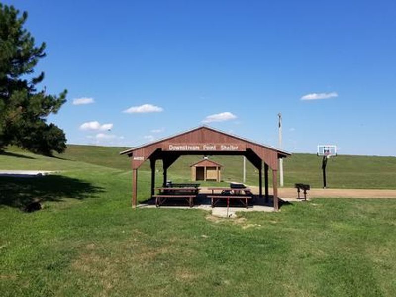
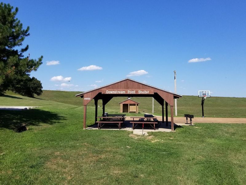
Downstream Point
Open for day-use only. Park hours are 6 a.m. to 11 p.m. This is a group picnic facility, not an overnight campground. The shelter is reservable through Recreation.gov.
Extreme Heat Warning issued July 21 at 1:07PM CDT until July 21 at 8:00PM CDT by NWS Wichita KS
* WHAT...Dangerously hot conditions with heat index values up to 115. * WHERE...Cowley, Harper, Sumner, Chautauqua, Elk, Labette, Montgomery, Neosho, and Wilson Counties. * WHEN...Until 8 PM CDT this evening. * IMPACTS...Heat related illnesses increase significantly during extreme heat and high humidity events.
About
Downstream Point is a day-use group picnic area located on Big Hill Lake in the rolling, wooded countryside of southeast Kansas often referred to as the Little Ozarks. The facility features a reservable group picnic shelter that can accommodate up to 100 people, providing shade within walking distance of the lake. Basketball courts are adjacent to the shelter. Big Hill Lake is managed by the U.S. Army Corps of Engineers and is known as a trophy fishing lake with largemouth bass, crappie, channel and flathead catfish, bluegill, walleye, and smallmouth bass. The area supports multiple recreational trails, including the 17-mile Big Hill Lake Horse Trail with varied terrain and the 1-mile Ruth Nixon Trail along the lake's western shore. Most land around the lake is open to public hunting for whitetail deer, turkey, and squirrel, except for parks and areas near the dam and control structures. Families can swim at the sand-covered beach at nearby Mound Valley Park.
Directions
Take U.S. Highway 169 to Cherryvale, Kansas, and turn east onto Main Street. Continue through town and turn right at the end of Main Street onto Olive Street. Go 1/2 block and turn left onto County Route 5000. Proceed 4.5 miles to Big Hill Lake and follow signs to the park.
Amenities
| Water | — |
| Fires Allowed | — |
| Toilets | — |
| Dump Station | — |
| Wifi | — |
| Pets Allowed | — |
| Showers | — |
| Electric Hookups | — |
| Water Hookups | — |
| Sewer Hookups | — |
| Camp Store | — |
| Price | $30 |
Vehicle
| Max RV Length | — |
| Max Trailer Length | — |
| Big Rig Friendly | — |
| Pull Through Sites | No |
Contact
| Phone | +1 (620) 336-2741 |
Cell Service
| AT&T | Yes |
| Verizon | Yes |
| T-Mobile | Yes |
Availability
Photos


Community Posts
No posts yet. Be the first to share your experience!