Curtis Creek Campground
Closed due to storm damage. Curtis Creek Road has a temporary road closure in effect. Normal operating season runs April 1 through December 31 on a first-come, first-served basis.
Flash Flood Warning issued October 11 at 6:05AM EDT until October 11 at 9:00AM EDT by NWS Greenville-Spartanburg SC
FFWGSP The National Weather Service in Greenville-Spartanburg has issued a * Flash Flood Warning for... Southwestern Avery County in western North Carolina... McDowell County in western North Carolina... Southeastern Mitchell County in western North Carolina... Southeastern Yancey County in western North Carolina... * Until 900 AM EDT. * At 605 AM EDT, Doppler radar indicated a line of training cells producing torrential rainfall from Sugar Hill and Old Fort to Marion, Pleasant Gardens, Celo, Little Switzerland, and Spruce Pine. This rainfall will be capable of producing 1-2.5 inches in less than an hour over saturated soils. This rainfall may cause additional rises on area streams, including the upper Catawba River, Crooked Creek, Grassy Creek, the North Toe River and the South Toe River and quickly exacerbate ongoing Minor flooding. Significant flooding, potentially impacting some structures, may develop quickly over the next 1-2 hours. Seek higher ground now! HAZARD...Life threatening flash flooding. Thunderstorms producing flash flooding. SOURCE...Radar indicated. IMPACT...Life-threatening flash flooding of creeks and streams. Expect significant flooding of adjacent low-lying areas, including parks, trails, low-water crossings, boat-access areas, and campgrounds. Flooding of some crawl spaces and basements is possible with potential flooding of first-floors in residences and businesses near streams. Evacuations may be needed. An isolated landslide or two cannot be ruled out. * Some locations that may experience flash flooding include... Marion, Spruce Pine, Celo, Old Fort, Pleasant Gardens, Lake James State Park, Linville Falls.
Flood Watch issued October 10 at 10:47PM EDT until October 11 at 2:00PM EDT by NWS Greenville-Spartanburg SC
* WHAT...Flash flooding caused by excessive rainfall continues to be possible. * WHERE...In Northeast Georgia, the following counties: Elbert, Franklin, Habersham, Hart, Rabun and Stephens. In western North Carolina, the following counties: Avery, Buncombe, Burke, Caldwell, McDowell, Polk, Rutherford, Haywood, Henderson, Macon, Mitchell, Jackson, Transylvania and Yancey. In Upstate South Carolina, the following counties: Abbeville, Anderson, Central Greenville, Greater Oconee, Greater Pickens, Greenville, Greenwood, Laurens, Spartanburg, and Oconee. * WHEN...Through Sunday afternoon. * IMPACTS...Excessive runoff may result in flooding of rivers, creeks, streams, and other low-lying and flood-prone locations. Creeks and streams may rise out of their banks. Low-water crossings may be flooded. * ADDITIONAL DETAILS... - As the remnants of Isaias move northward into the lower Ohio Valley, periods of rain will continue. High rainfall rates will continue in short bursts through the overnight hours. By Sunday morning, total accumulations of generally 5 to 8 inches are expected along the southeast-facing Blue Ridge Escarpment, with 2 to 5 inches elsewhere in the watch area. - http://www.weather.gov/safety/flood
Flood Advisory issued October 11 at 5:49AM EDT until October 11 at 11:45AM EDT by NWS Greenville-Spartanburg SC
* WHAT...Flooding caused by excessive rainfall is expected. * WHERE...Avery County in western North Carolina... Eastern Buncombe County in western North Carolina... McDowell County in western North Carolina... Mitchell County in western North Carolina... Eastern Yancey County in western North Carolina... * WHEN...Until 1145 AM EDT. * IMPACTS...Nuisance flooding of low-lying areas adjacent to streams and other poor-drainage areas, including farmland, parks, greenways, boat-access areas, golf courses, underpasses, and parking lots. Isolated, shallow flows over roadways is possible. A few flood- prone, low-water crossings may become impassible. A small culvert washout or two is possible. * ADDITIONAL DETAILS... - At 541 AM EDT, Doppler radar indicated that the last axis of heavy rainfall associated with the remnants of Isaias is training over the central Escarpment and northern North Carolina mountains. This heavy rainfall will be capable of producing 0.75-1.25 inches of additional rain over the next 60-90 minutes. This rainfall may exacerbate ongoing high flow and nuisance flooding conditions and is likely to cause new areas of nuisance flooding to develop. Areas of greatest concern include Flat Creek near Black Mountain and Montreat, the Cane River near Burnsville, Cane Creek near Bakersville, the headwaters of the upper Catawba River from Old Fort to Pleasant Gardens to Lake James, and Grassy Creek and the North Toe River near Spruce Pine. - If rainfall persists or rates intensify over the next 15-30 minutes, portions of this Flood Advisory may be upgraded to a Flash Flood Warning. Caution is advised near any stream or other vulnerable area. Seek higher ground immediately if heavy rain develops. Please have a plan in place should flash flooding develop and do not hesitate to act. Please heed all evacuation orders from Emergency Management officials. - Some locations that may experience flooding include... Marion, Spruce Pine, Burnsville, Newland, Black Mountain, Swannanoa, Fairview In Buncombe County, Old Fort, Banner Elk and Elk Park. - Https://www.weather.gov/safety/flood
About
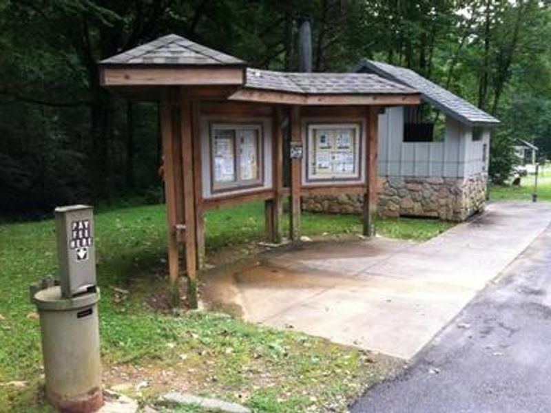
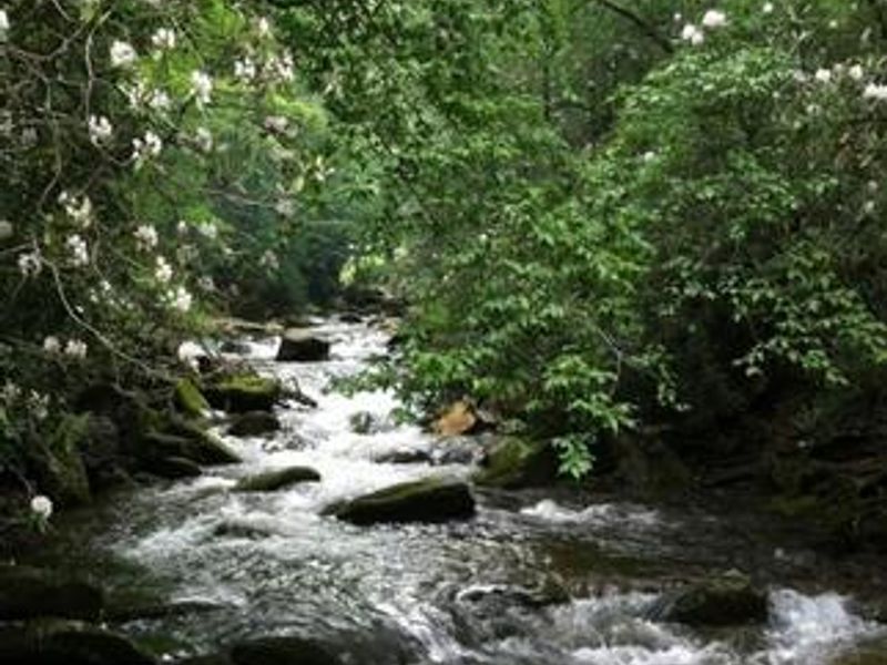
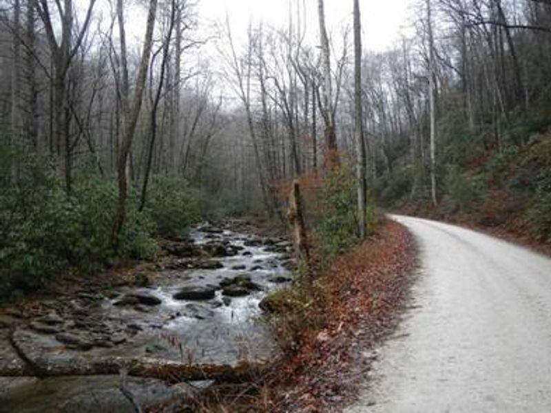
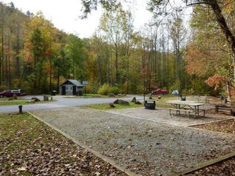
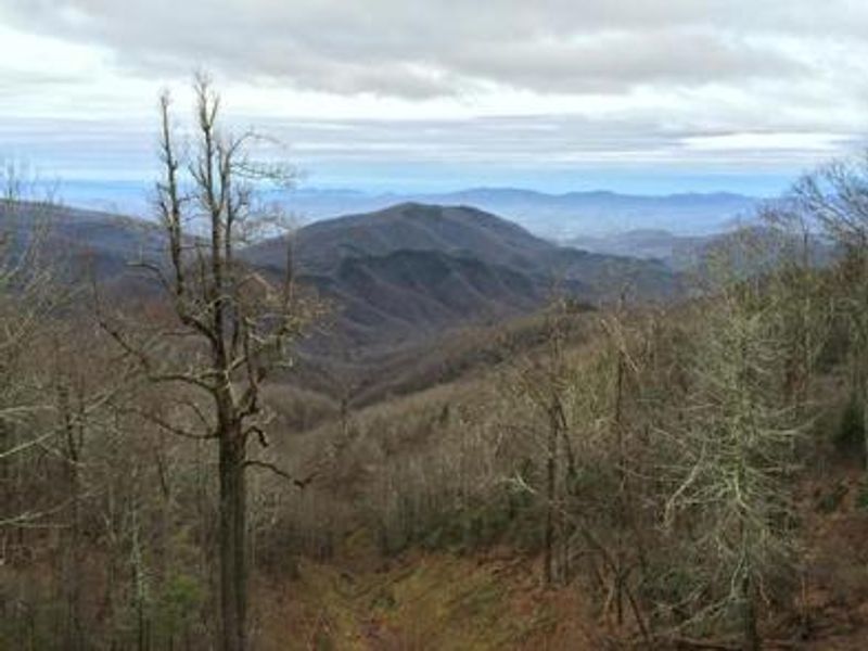
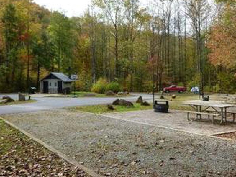
Curtis Creek Campground occupies historic ground in the Blue Ridge Mountains, located on the first tract of National Forest land acquired in the eastern United States at the site of a former Civilian Conservation Corps camp. The campground lies just six miles from Old Fort and roughly 30 miles from Asheville, with direct access to the Blue Ridge Parkway via the gravel road that climbs through the campground. The 25 sites spread across three distinct loops. Loop 1 accommodates RVs up to 35 feet and is fully ADA accessible. Loop 2 features dispersed tent-only sites along the roadside for a secluded forest experience. Loop 3 offers tent sites in an open grassy clearing. All sites include fire rings, picnic tables, lantern posts, and tent pads. Vault toilets, hand-pump drinking water, and bear-proof trash receptacles serve the campground. Curtis Creek provides excellent trout fishing, and swimming holes offer relief on hot summer days. Two trails depart from the campground: Hickory Branch Trail leads half a mile to waterfalls and continues into the Mackey Mountain backcountry containing the largest unbroken old-growth tract in Pisgah National Forest. Snooks Nose Trail climbs strenuously to ridge views and eventually connects with the Blue Ridge Parkway.
Directions
From I-40, take Exit 73 towards Old Fort. Take Catawba Ave north 0.5 miles to US-70E/E Main St. Turn right on US-70E and go 1.8 miles to Curtis Creek Rd (signed for Curtis Creek Campground). Turn left on Curtis Creek Rd and drive 4 miles to the campground.
Nearby Campgrounds
Amenities
| Water | Yes |
| Fires Allowed | Yes |
| Toilets | Yes |
| Dump Station | No |
| Wifi | No |
| Pets Allowed | Yes |
| Showers | No |
| Electric Hookups | — |
| Water Hookups | — |
| Sewer Hookups | — |
| Camp Store | No |
| Price | $10 |
Vehicle
| Max RV Length | 35ft |
| Max Trailer Length | — |
| Big Rig Friendly | No |
| Pull Through Sites | No |
Contact
| sm.fs.gfr@usda.gov | |
| Phone | +1 (828) 652-2144 |
Cell Service
| AT&T | None |
| Verizon | None |
| T-Mobile | None |
Availability
Photos

Community Posts
No posts yet. Be the first to share your experience!