Briar Bottom Group Campground
Closed indefinitely due to Hurricane Helene damage from September 2024. The campground was expected to remain closed through the 2025 season and remains closed as of May 2026. Normal operating season runs mid-April through late October. Reservations required through Recreation.gov when operational.
Flood Watch issued October 10 at 10:47PM EDT until October 11 at 2:00PM EDT by NWS Greenville-Spartanburg SC
* WHAT...Flash flooding caused by excessive rainfall continues to be possible. * WHERE...In Northeast Georgia, the following counties: Elbert, Franklin, Habersham, Hart, Rabun and Stephens. In western North Carolina, the following counties: Avery, Buncombe, Burke, Caldwell, McDowell, Polk, Rutherford, Haywood, Henderson, Macon, Mitchell, Jackson, Transylvania and Yancey. In Upstate South Carolina, the following counties: Abbeville, Anderson, Central Greenville, Greater Oconee, Greater Pickens, Greenville, Greenwood, Laurens, Spartanburg, and Oconee. * WHEN...Through Sunday afternoon. * IMPACTS...Excessive runoff may result in flooding of rivers, creeks, streams, and other low-lying and flood-prone locations. Creeks and streams may rise out of their banks. Low-water crossings may be flooded. * ADDITIONAL DETAILS... - As the remnants of Isaias move northward into the lower Ohio Valley, periods of rain will continue. High rainfall rates will continue in short bursts through the overnight hours. By Sunday morning, total accumulations of generally 5 to 8 inches are expected along the southeast-facing Blue Ridge Escarpment, with 2 to 5 inches elsewhere in the watch area. - http://www.weather.gov/safety/flood
About
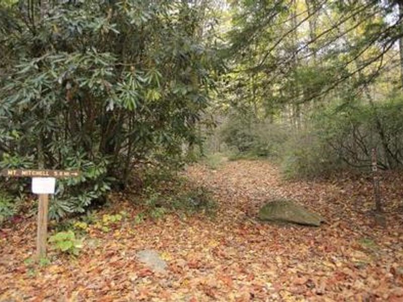
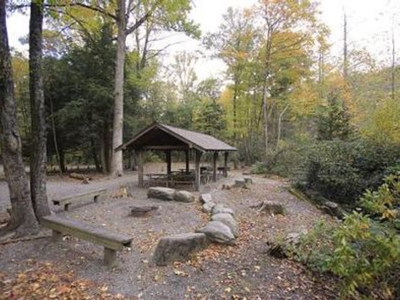
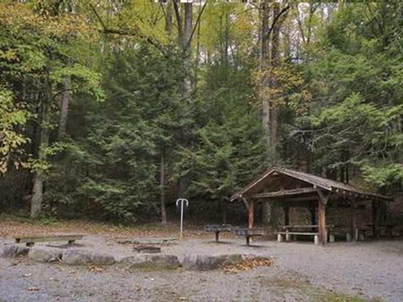
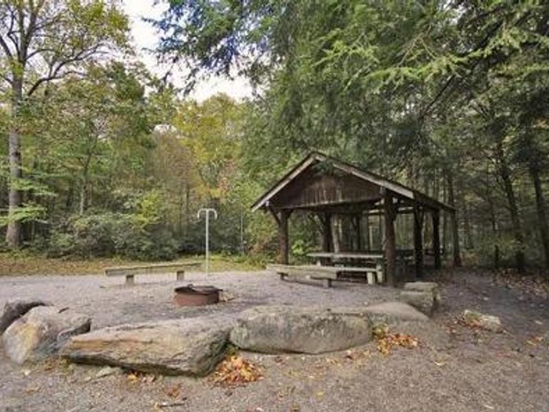
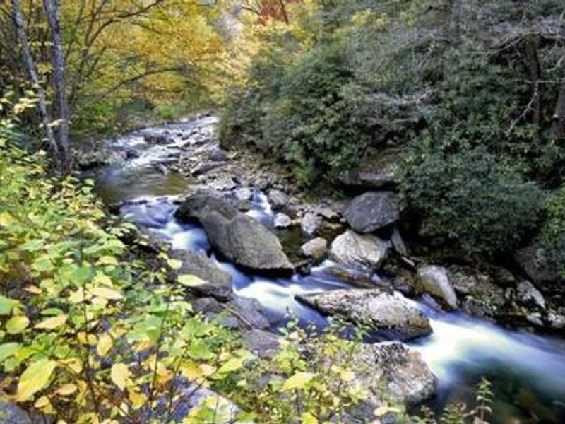
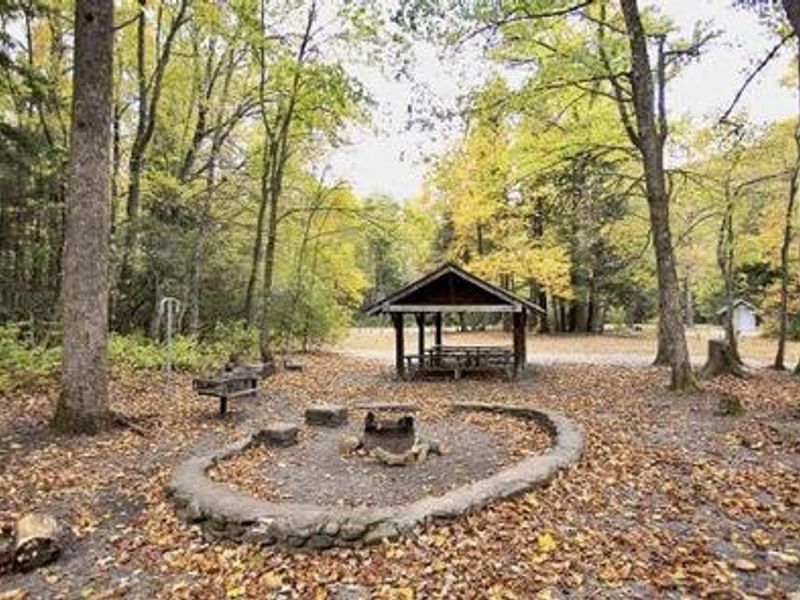
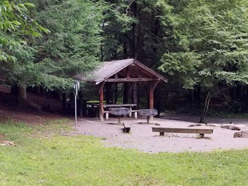
Briar Bottom Group Campground offers a secluded mountain experience in the Appalachian Ranger District of Pisgah National Forest. Located at the base of Mt. Mitchell and bordered by the South Toe River, the campground provides access to excellent trout fishing, wildlife viewing, and a network of hiking trails ranging from leisurely half-mile forest walks to the strenuous climb up Mt. Mitchell. The facility consists of six tent-only group sites named Ash, Poplar, Laurel, Maple, Red Oak, and Dogwood. Each site accommodates up to 30 people with a maximum of 10 vehicles. The campground sits within a bear sanctuary, so proper food storage in containers or locked vehicles is required. Showers and additional recreational amenities including a playing field, volleyball courts, and horseshoe pit are available at the adjacent Black Mountain Campground.
Directions
From Asheville, take I-26 west to exit 9 onto US-19 east toward Burnsville. Follow US-19 to Micaville and turn right onto Highway 80. Continue south approximately 12-14 miles to Mount Mitchell Golf Course. Turn right on South Toe River Road and follow signs to Black Mountain Campground. Campers must enter through the main gate at Black Mountain Campground to reach Briar Bottom.
Amenities
| Water | — |
| Fires Allowed | Yes |
| Toilets | Yes |
| Dump Station | — |
| Wifi | — |
| Pets Allowed | Yes |
| Showers | No |
| Electric Hookups | — |
| Water Hookups | — |
| Sewer Hookups | — |
| Camp Store | — |
| Price | $125 |
Vehicle
| Max RV Length | — |
| Max Trailer Length | — |
| Big Rig Friendly | No |
| Pull Through Sites | No |
Contact
| cfaiacamp@citcom.net | |
| Phone | +1 (828) 675-5616 |
Cell Service
| AT&T | None |
| Verizon | None |
| T-Mobile | None |
Availability
Photos
Community Posts
No posts yet. Be the first to share your experience!