Columbine Campground
The campground is open and operating. Some sites are first-come-first-served while others are reservable through Recreation.gov. Stage 1 fire restrictions are in effect for Gilpin County; campfires are permitted only in designated fire rings.
From Recreation.gov
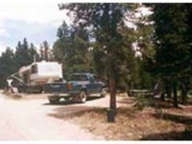
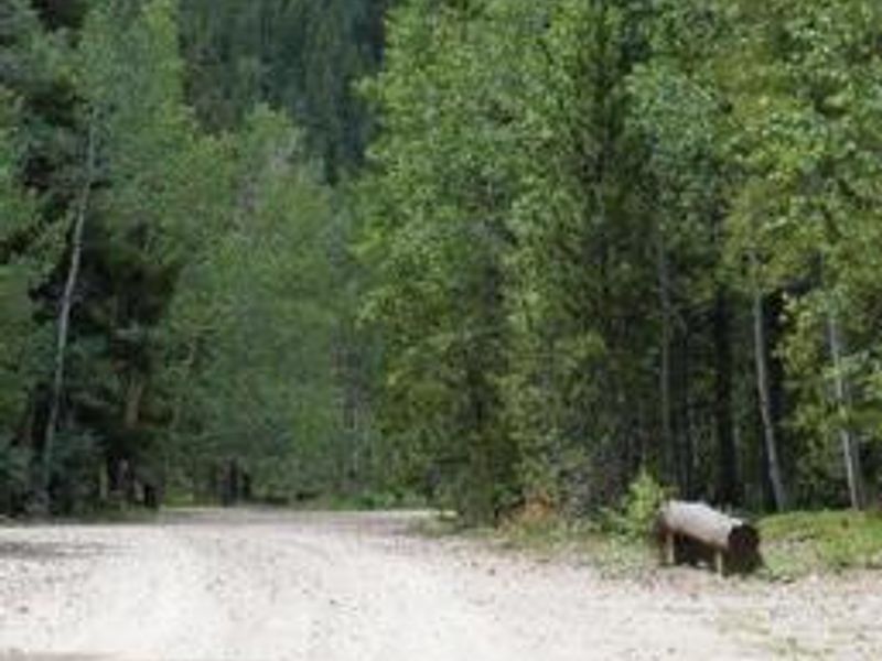
All vehicles including, RVs, trailers, and other vehicles must fit on the parking spur. Parking spur lengths range from 25 to 55 feet. Driving off road or parking off spurs is not allowed.
Wheeled Vehicles in Wilderness
This order describes the prohibition of wheeled vehicles in all National Forest Wilderness Areas of the Rocky Mountain Region and any exceptions thereof.
Weed Free Forage Products
The purpose of this Order is to prevent the introduction or spread of noxious weeds.
About
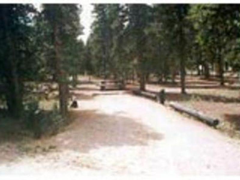
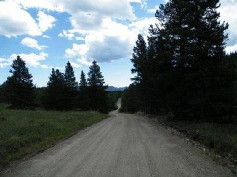
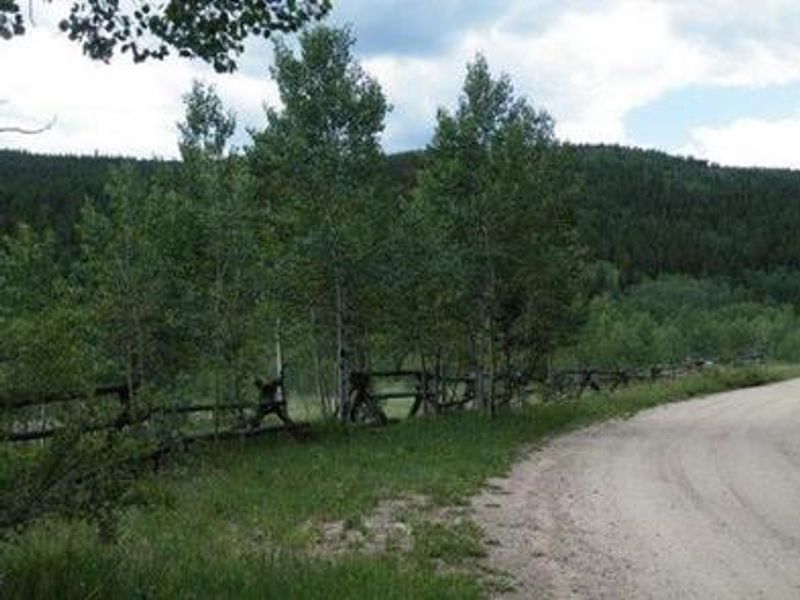
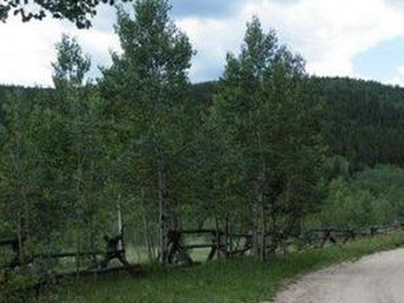
Columbine Campground is situated in the Arapaho National Forest, approximately two miles northwest of the historic mining town of Central City, Colorado. The campground sits at 9,200 feet elevation in a grove of aspen and lodgepole pine, though shade may be limited in some areas due to mountain pine beetle mitigation efforts. The two-loop layout contains 46 sites: five tent-only and 41 accommodating both tents and RVs. The campground is a favorite among off-road enthusiasts, with many jeep roads accessible directly from the area. Golden Gate Canyon State Park is a short drive away, offering 35+ miles of hiking trails plus mountain biking and horseback riding. Scenic driving along the Peak to Peak Byway (Highways 119 and 72) and fishing in nearby creeks, rivers, and lakes round out the recreation options. Access is via Gilpin County Road 279, which becomes gravel approaching the campground. Interior roads are dirt. Parking spurs range from 25 to 55 feet, and all vehicles must fit entirely on the spur. Maximum occupancy is eight people per site.
Directions
From I-25 in Denver, take 6th Ave West to Highway 6 through Clear Creek Canyon. Proceed north on Highway 119, then turn left on Gilpin County Road 279 (Gregory St) in Black Hawk. Follow signs to Central City. Gregory St becomes Lawrence St at the Central City limits, then Eureka St. Continue on Eureka St until the road turns to gravel and follow signs to the campground, located two miles northwest of Central City.
Amenities
| Water | Yes |
| Fires Allowed | Yes |
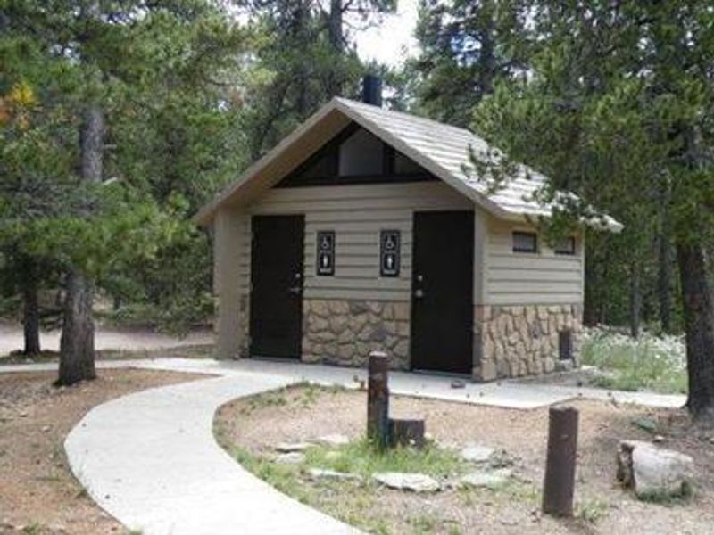
| Toilets | Yes |
| Dump Station | No |
| Wifi | No |
| Pets Allowed | Yes |
| Showers | No |
| Electric Hookups | — |
| Water Hookups | — |
| Sewer Hookups | — |
| Camp Store | No |
| Price | $26 |
Vehicle
| Max RV Length | 55ft |
| Max Trailer Length | 55ft |
| Big Rig Friendly | No |
| Pull Through Sites | No |
Contact
| Phone | +1 (970) 295-6600 |
Cell Service
| AT&T | Yes |
| Verizon | Yes |
| T-Mobile | None |
Availability
Photos
Community Posts
No posts yet. Be the first to share your experience!