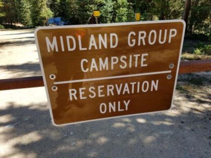
Midland Group Campground
Closed for the season. Opens June 5, 2026 and operates through September 7, 2026. Reservations available through Recreation.gov. One vehicle included; additional vehicles $8 per night.
Wheeled Vehicles in Wilderness
This order describes the prohibition of wheeled vehicles in all National Forest Wilderness Areas of the Rocky Mountain Region and any exceptions thereof.
Weed Free Forage Products
The purpose of this Order is to prevent the introduction or spread of noxious weeds.
Cave Closure and Restrictions
The purpose of this Order is to reduce the spread of the fungus that causes White nose syndrome and to protect bat species during critical biological periods.
About
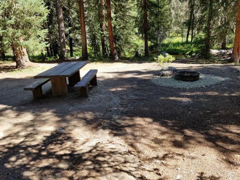
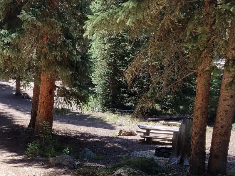
Midland Group Campground offers a rustic group camping experience along the Fraser River in the Arapaho National Forest. Located just 4.5 miles south of Winter Park on US Highway 40, this minimally developed campground sits at 9,400 feet elevation where the Fraser River flows from its headwaters near Berthoud Pass toward its confluence with the Colorado River. The single group site accommodates up to 36 people with five picnic tables, each paired with a metal fire ring, and ample space for tents and canopy structures. Portable toilets are provided, but there is no potable water on site; campers can obtain water at Idlewild Campground approximately 3 miles north. Parking is limited to 10 vehicles. Nearby trailheads and 4x4 roads provide access to Jim Creek and the west side of historic Rollins Pass. The summit of Berthoud Pass offers additional scenery and trail access. Grocery shopping and restaurants are available in Winter Park and Fraser, while the Arapaho National Recreation Area and western portal of Rocky Mountain National Park are within an hour's drive. Afternoon thunderstorms are common during summer months.
Directions
From Winter Park, travel 4.5 miles south on US Highway 40. The campground is located on the east side of the road.
Amenities
| Water | No |
| Fires Allowed | Yes |
| Toilets | Yes |
| Dump Station | No |
| Wifi | No |
| Pets Allowed | Yes |
| Showers | No |
| Electric Hookups | — |
| Water Hookups | — |
| Sewer Hookups | — |
| Camp Store | No |
| Price | $100 |
Vehicle
| Max RV Length | — |
| Max Trailer Length | — |
| Big Rig Friendly | No |
| Pull Through Sites | No |
Contact
| Phone | +1 (530) 529-0578 |
Cell Service
| AT&T | Yes |
| Verizon | Yes |
| T-Mobile | Yes |
Availability
Photos
Community Posts
No posts yet. Be the first to share your experience!