Kelly Dahl
Open for camping. Sites 1-20 are first-come-first-served; sites 21-46 are reservable through Recreation.gov. Water system is operational. Fire restrictions may be in effect during dry conditions. 14-day stay limit.
Air Quality Alert issued July 20 at 4:10PM MDT by NWS Denver CO
The Colorado Department of Public Health and Environment has issued the following... WHAT...Ozone Action Day Alert. WHERE...Douglas, Jefferson, Denver, western Arapahoe, western Adams, Broomfield, Boulder, Larimer, and Weld Counties WHEN...400 PM Monday July 20 to 400 PM Tuesday July 21 IMPACTS...Ozone Action Day Alert is now in effect for the Front Range Urban Corridor. Hot and stagnant weather conditions will result in ozone concentrations reaching the Unhealthy for Sensitive Groups category both Monday and Tuesday during the afternoon and evening hours. For Colorado air quality conditions, forecasts, and advisories, visit: https://www.colorado.gov/airquality/colorado_summary.aspx If possible, please help us reduce ozone pollution by limiting driving gas and diesel-powered vehicles until at least 4 p.m. Tuesday, July 21, 2026. Colorado is also addressing ozone pollution through state policies. For more information about health impacts and how ozone pollution forms in Colorado, visit: https://cdphe.colorado.gov/ozone- pollution-and-your-health HEALTH INFORMATION...Increasing likelihood of respiratory symptoms and breathing discomfort in active children and adults and people with lung disease, such as asthma. Active children and adults, and people with lung disease, such as asthma, should reduce prolonged or heavy outdoor exertion.
Wheeled Vehicles in Wilderness
This order describes the prohibition of wheeled vehicles in all National Forest Wilderness Areas of the Rocky Mountain Region and any exceptions thereof.
Weed Free Forage Products
The purpose of this Order is to prevent the introduction or spread of noxious weeds.
About
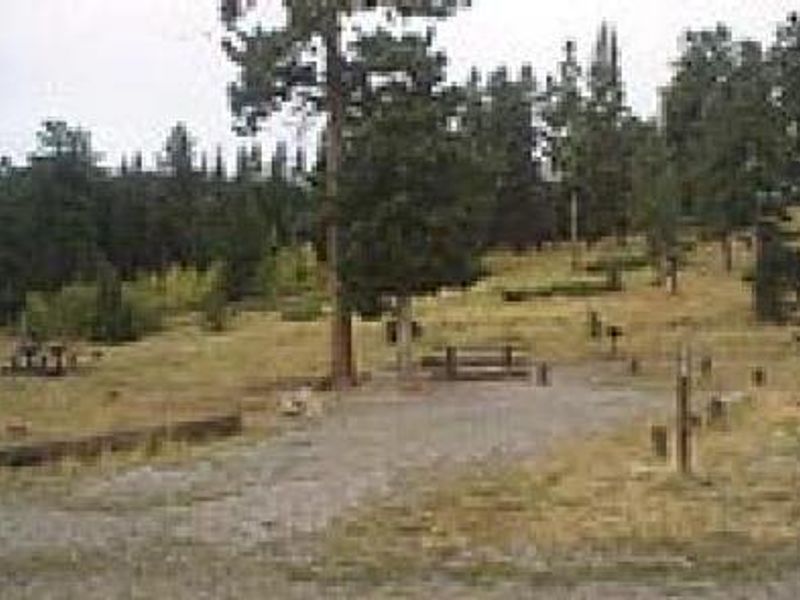
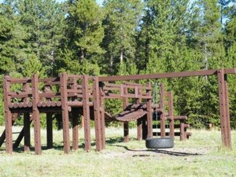
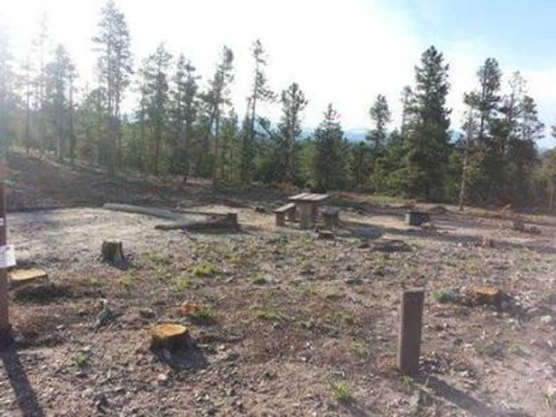
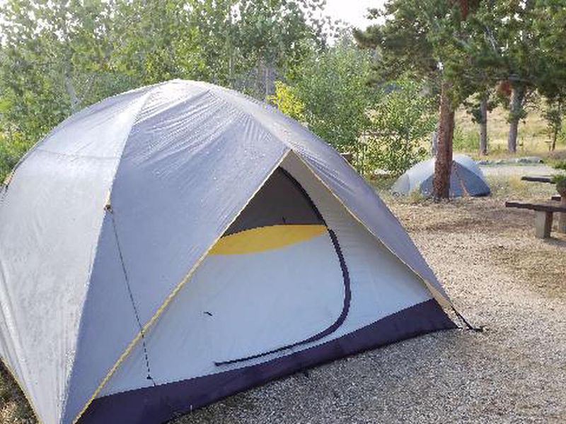
Kelly Dahl Campground is located four miles south of Nederland along Colorado Highway 119, the Peak-to-Peak Scenic Byway. At 8,600 feet elevation, the campground provides access to the historic mining towns of Nederland, Rollinsville, Central City, and Black Hawk. The town of Nederland offers grocery stores, restaurants, gas, and other services. The campground features 46 single-family sites spread across a gentle slope. Sites 1 through 20 operate on a first-come-first-served basis, while sites 21 through 46 can be reserved through Recreation.gov. Each site is equipped with a picnic table and campfire ring with grill. Site lengths vary from 26 to 40 feet, so check individual site specifications before arriving with larger rigs. This is bear country, and all campsites with tent pads include bear lockers for food storage. Due to mountain pine beetle infestation and subsequent hazard tree removal, shade is limited throughout the campground. Fire restrictions may be imposed during hot, dry conditions. A playground suitable for small children is available.
Directions
From Denver, take Interstate 25 north to US Highway 36 west to Boulder. Take Colorado Highway 119 (Canyon Boulevard) west for 22 miles to Nederland. Continue south for 4 miles to the campground entrance on the east side of the highway at mile marker 22. Alternatively, the entrance is approximately two miles north of Rollinsville on Highway 119.
Amenities
| Water | Yes |
| Fires Allowed | Yes |
| Toilets | Yes |
| Dump Station | No |
| Wifi | No |
| Pets Allowed | Yes |
| Showers | No |
| Electric Hookups | — |
| Water Hookups | — |
| Sewer Hookups | — |
| Camp Store | No |
| Price | $18.75 |
Vehicle
| Max RV Length | 40ft |
| Max Trailer Length | 40ft |
| Big Rig Friendly | No |
| Pull Through Sites | No |
Contact
| Phone | +1 (303) 541-2500 |
Cell Service
| AT&T | Yes |
| Verizon | Yes |
| T-Mobile | None |
Availability
Photos


Community Posts
No posts yet. Be the first to share your experience!