Colorado River Primitive Camping Between Glen Canyon Dam And Lees Ferry
Open year-round on a first-come, first-served basis. No advance reservations. A free Lees Ferry Backcountry River Permit is required, available at the self-serve kiosk at Lees Ferry. Camping limited to 14 consecutive days. Note: The river near Kayak Beach (mile -15.1) is closed annually March 15 through September 1 for osprey breeding season.
About
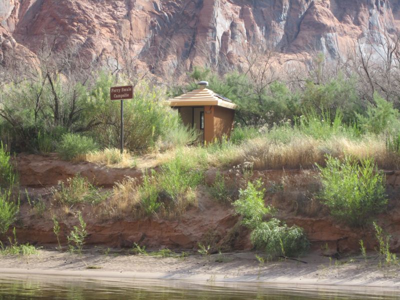
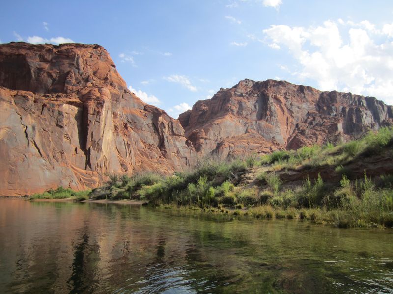
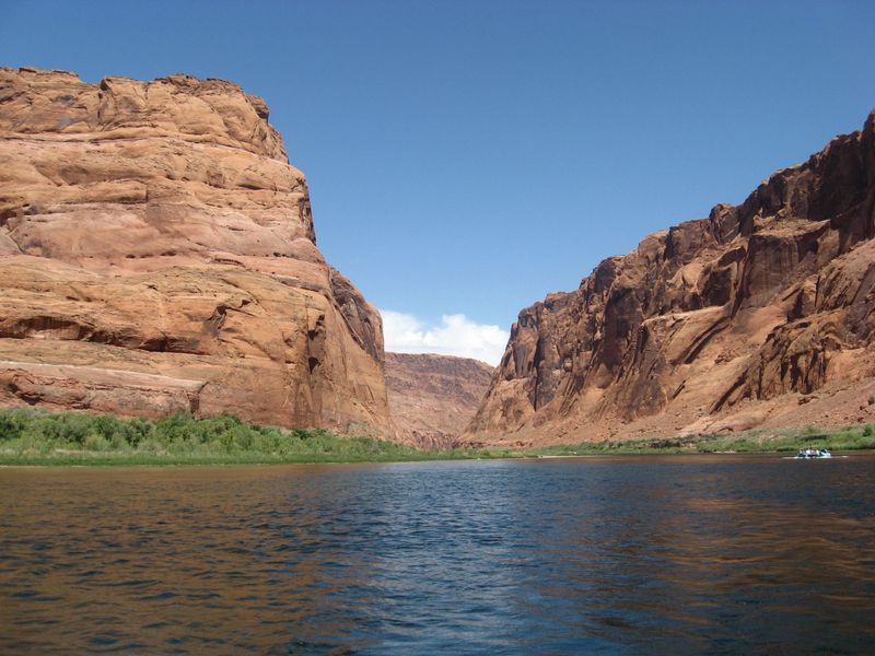
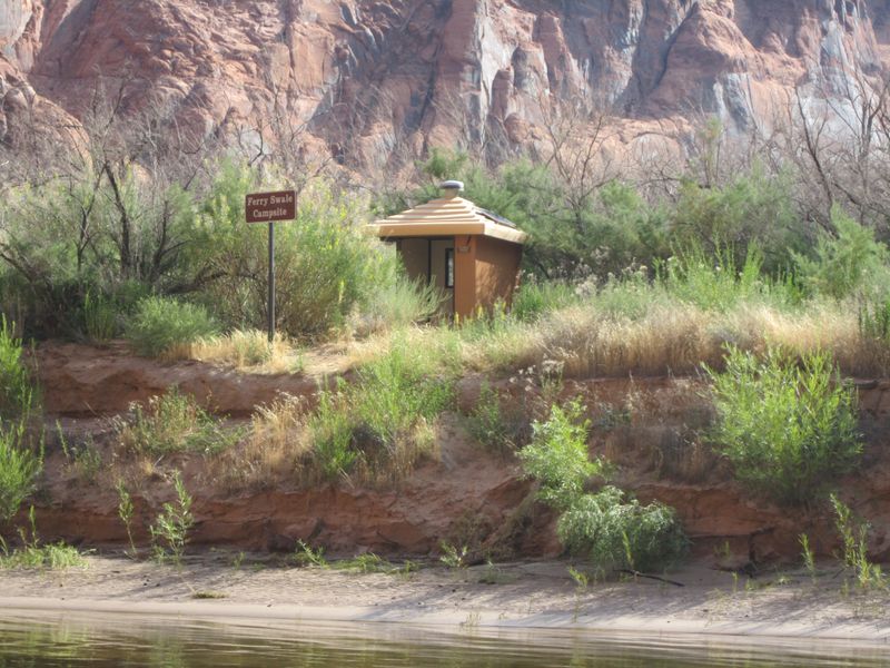
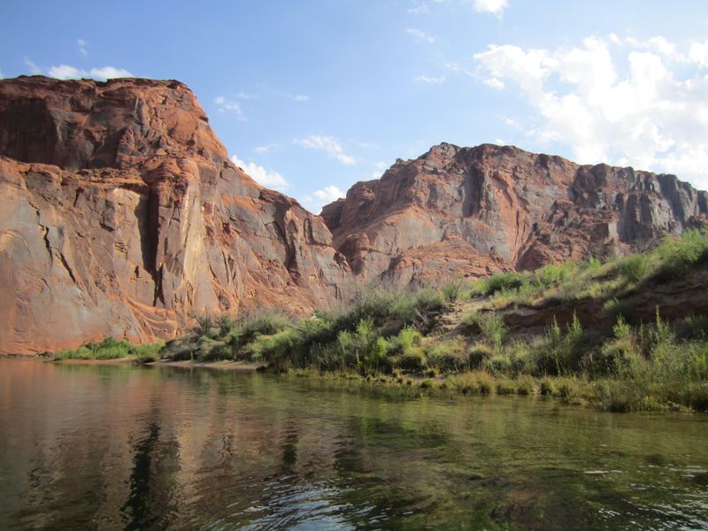
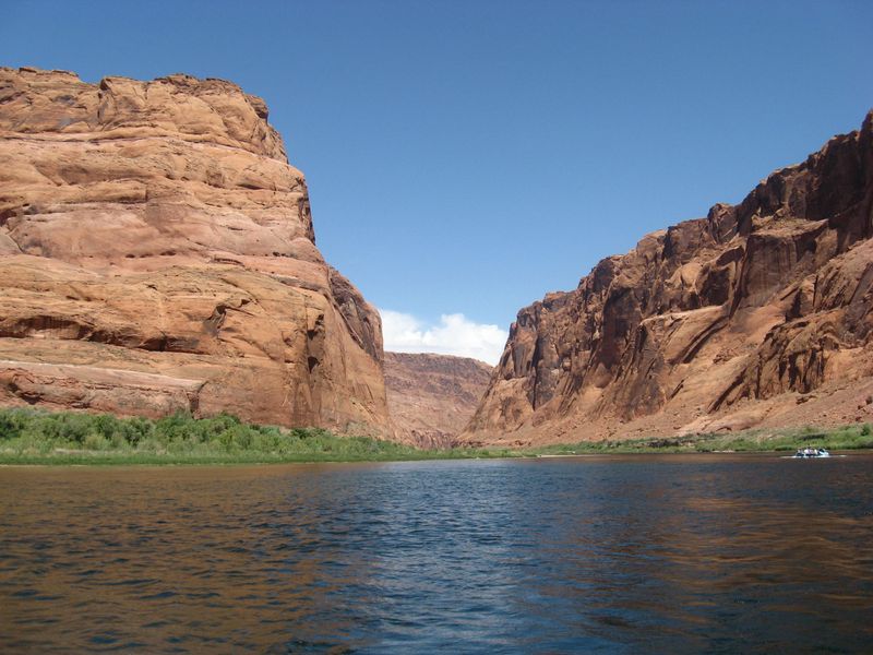
Along the fifteen-mile stretch of the Colorado River between Glen Canyon Dam and Lees Ferry, five primitive beach camping areas are designated for overnight use. These remote sites can only be reached by small watercraft launched from the Lees Ferry boat ramp, making them ideal for kayakers, rafters, and small motorboat users seeking solitude on the river. Each campsite is marked with signs and sits above the river, requiring a short uphill walk from the beach. The sites provide basic amenities including vault toilets and fire pits, but campers must be self-sufficient. There is no potable water, so bring all drinking water needed for your trip. Fires are permitted only in provided fireplaces or portable fire pans; ground fires and wood collection are prohibited. All trash must be packed out, though free litter bags are available at the ranger station and dumpsters at the launch ramps. A free Lees Ferry Backcountry River Permit is required for all watercraft using this section of river, available 24/7 at the self-serve kiosk in the Lees Ferry launch ramp parking lot. Do not boat below the cable downstream from Lees Ferry due to dangerous rapids requiring a separate Grand Canyon National Park permit.
Directions
Lees Ferry is 42 miles from Page via Hwy 89 south and Hwy 89A west. From the North Rim of the Grand Canyon, it is 85 miles via Hwy 89A and Hwy 67. The Lees Ferry Junction and Park Entrance is in Marble Canyon, just west of Navajo Bridge Interpretive Center. A paved road leads 5 miles to the ferry area. Use the public launch ramp to access the river, then motor or paddle to one of the five marked camping sites.
Nearby Campgrounds
Amenities
| Water | No |
| Fires Allowed | Yes |
| Toilets | Yes |
| Dump Station | No |
| Wifi | No |
| Pets Allowed | — |
| Showers | No |
| Electric Hookups | — |
| Water Hookups | — |
| Sewer Hookups | — |
| Camp Store | No |
| Price | $0 |
Vehicle
| Max RV Length | — |
| Max Trailer Length | — |
| Big Rig Friendly | No |
| Pull Through Sites | No |
Contact
| glca_information@nps.gov | |
| Phone | +1 (928) 608-6200 |
Cell Service
| AT&T | None |
| Verizon | None |
| T-Mobile | None |
Photos
Community Posts
No posts yet. Be the first to share your experience!