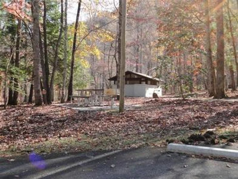
Collins Creek Picnic Pavilion
This is a day-use picnic pavilion only, not a campground for overnight camping. The facility operates seasonally from early April through late October, closing at 8 PM from late April to early September and at sunset on other dates. Reservations available through Recreation.gov.
Severe Thunderstorm Watch issued August 17 at 7:10PM EDT until August 17 at 10:00PM EDT by NWS Greenville-Spartanburg SC
SEVERE THUNDERSTORM WATCH 590 REMAINS VALID UNTIL 10 PM EDT THIS EVENING FOR THE FOLLOWING AREAS IN GEORGIA THIS WATCH INCLUDES 2 COUNTIES IN NORTHEAST GEORGIA HABERSHAM RABUN IN NORTH CAROLINA THIS WATCH INCLUDES 18 COUNTIES IN PIEDMONT NORTH CAROLINA ALEXANDER IN WESTERN NORTH CAROLINA AVERY BUNCOMBE BURKE CALDWELL GRAHAM HAYWOOD HENDERSON JACKSON MACON MADISON MCDOWELL MITCHELL POLK RUTHERFORD SWAIN TRANSYLVANIA YANCEY THIS INCLUDES THE CITIES OF ALARKA, ALLENSTAND, ALMOND, ASHEVILLE, ASHFORD, BALDWIN, BANNER ELK, BETHLEHEM, BLACK MOUNTAIN, BREVARD, BRYSON CITY, BURNSVILLE, BUSICK, CANDLER, CANTON, CEDAR MOUNTAIN, CELO, CLARKESVILLE, CLAYTON, COLUMBUS, CORNELIA, COVE CREEK, CRUSO, CULLOWHEE, DANA, DEMOREST, DYSARTSVILLE, EAST FLAT ROCK, ELLENDALE, ETOWAH, FAUST, FERO, FLETCHER, FOREST CITY, FRANKLIN, GLENWOOD, GRANITE FALLS, HENDERSONVILLE, HIDDENITE, HIGHLANDS, HOLLYWOOD, HOT SPRINGS, INGALLS, KINGS CREEK, KYLE, LENOIR, LITTLE RIVER, LUADA, LUCK, MARION, MARS HILL, MARSHALL, MICAVILLE, MILL SPRING, MILLERSVILLE, MORGANTON, MOUNTAIN CITY, NEBO, NEWLAND, PATTERSON, PINE MOUNTAIN, PLEASANT GROVE, POPLAR, RAINBOW SPRINGS, RAMSEYTOWN, ROBBINSVILLE, RUTHERFORDTON, SALUDA, SAWMILLS, SPINDALE, SPRUCE PINE, STECOAH, STONY POINT, SUGAR HILL, SWISS, SYLVA, TAYLORSVILLE, TRYON, TUCKASEGEE, TUXEDO, VALDESE, WALNUT, WATERVILLE, WAYNESVILLE, AND WESSER.
Severe Thunderstorm Warning issued August 17 at 7:06PM EDT until August 17 at 7:30PM EDT by NWS Greenville-Spartanburg SC
At 705 PM EDT, severe thunderstorms were located along a line extending from 8 miles east of Robbinsville to 3 miles southwest of Hayesville, moving southeast at 40 mph. HAZARD...60 mph wind gusts. SOURCE...Radar indicated. IMPACT...Expect damage to trees and power lines. Locations impacted include... Franklin, Nantahala Lake, Wesser, Ellijay, Burningtown, Savannah, Kyle, Otto, Rainbow Springs, and Nantahala.
Severe Thunderstorm Warning issued August 17 at 6:57PM EDT until August 17 at 7:45PM EDT by NWS Greenville-Spartanburg SC
SVRGSP The National Weather Service in Greenville-Spartanburg has issued a * Severe Thunderstorm Warning for... Central Transylvania County in western North Carolina... Jackson County in western North Carolina... Southeastern Swain County in western North Carolina... Southern Haywood County in western North Carolina... * Until 745 PM EDT. * At 657 PM EDT, severe thunderstorms were located along a line extending from 5 miles northwest of Waynesville to 8 miles north of Franklin, moving southeast at 30 mph. HAZARD...60 mph wind gusts. SOURCE...Radar indicated. IMPACT...Expect damage to trees and power lines. * Locations impacted include... Sylva, Waynesville, Cullowhee, Lake Junaluska, Clyde, Maggie Valley, Balsam, Webster, Dillsboro, and Graveyard Fields.
About
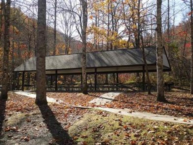
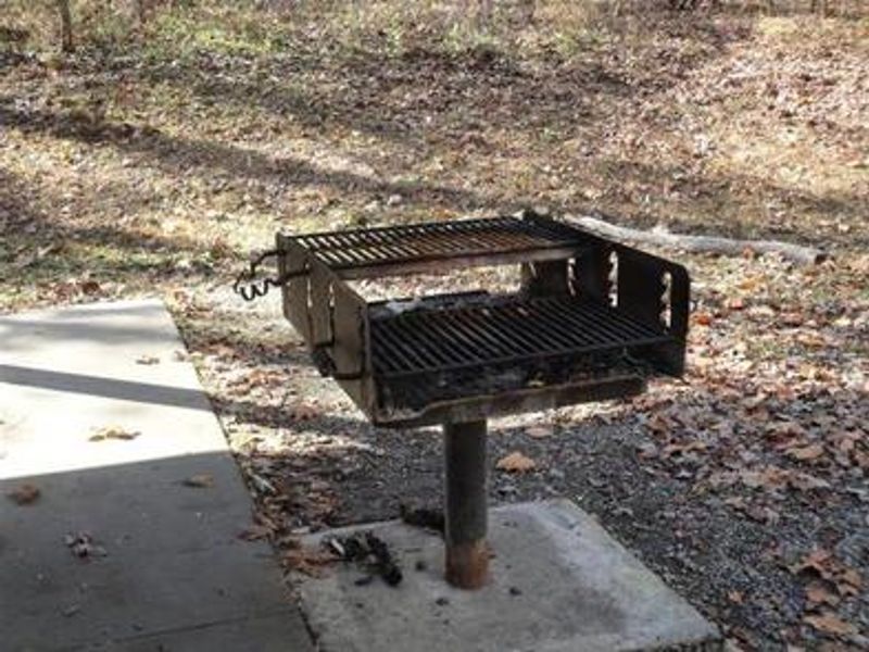
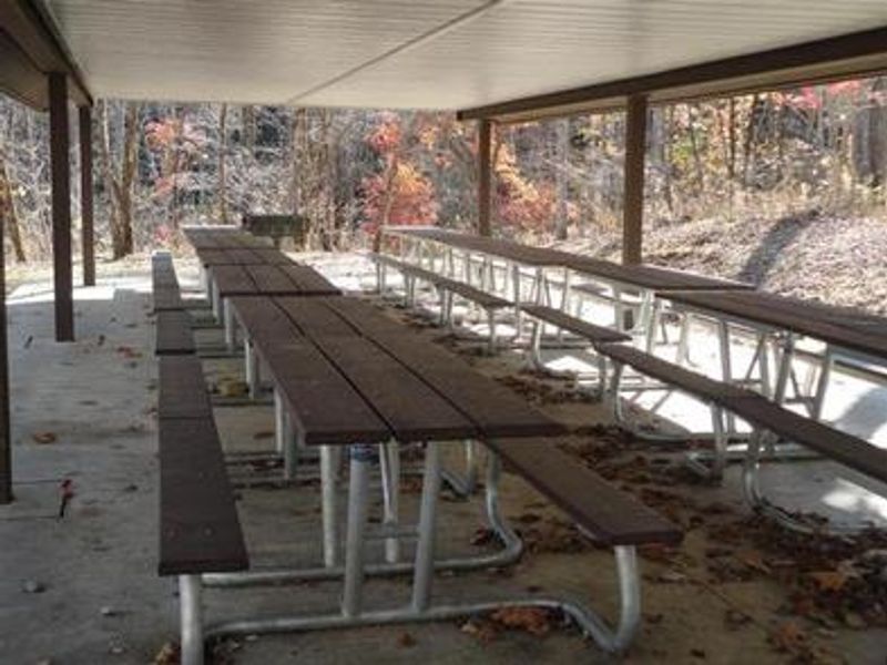
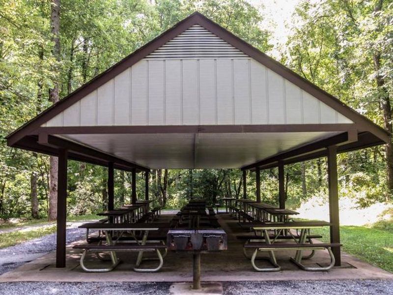
Collins Creek Picnic Pavilion is a day-use facility within Great Smoky Mountains National Park, situated at 2,473 feet elevation along the Oconaluftee River corridor. The reservable pavilion accommodates approximately 70 guests and includes four charcoal grills and 15 picnic tables. The larger Collins Creek Picnic Area features 182 individual picnic sites with gravel pads, seasonal restrooms, bear-proof trash receptacles, and potable water at the restrooms. The facility operates seasonally from early April through late October. Rental periods are 8 AM to 3:30 PM and 4 PM to 8 PM; reserve both periods for full-day use. Charcoal grilling is permitted, but wood fires are prohibited. Pets are allowed on leash. This is a day-use only facility with no overnight camping. A valid parking tag is required for any vehicle parking more than 15 minutes in Great Smoky Mountains National Park; a pavilion reservation does not exempt visitors from this requirement.
Directions
8 miles north of Cherokee, NC on Newfound Gap Road (U.S. 441), near the Oconaluftee Visitor Center.
Amenities
| Water | Yes |
| Fires Allowed | No |
| Toilets | Yes |
| Dump Station | No |
| Wifi | No |
| Pets Allowed | Yes |
| Showers | No |
| Electric Hookups | — |
| Water Hookups | — |
| Sewer Hookups | — |
| Camp Store | No |
| Price | $32 |
Vehicle
| Max RV Length | — |
| Max Trailer Length | — |
| Big Rig Friendly | — |
| Pull Through Sites | No |
Contact
| Phone | +1 (828) 497-9270 |
Cell Service
| AT&T | None |
| Verizon | None |
| T-Mobile | None |
Availability
Photos
Community Posts
No posts yet. Be the first to share your experience!