Canyon Point
Open for the 2026 season. Operating season runs May 1 through October 31. Twenty sites are first-come, first-served; remaining sites reservable via Recreation.gov.
Flood Watch issued October 9 at 12:59PM MST until October 12 at 5:00AM MST by NWS Flagstaff AZ
* WHAT...Flash flooding caused by excessive rainfall is possible. * WHERE...Yavapai, western Coconino, northern Gila, and far southern Navajo counties. * WHEN...From Saturday morning through late Sunday night. * IMPACTS...Flash flooding will be possible in creeks, normally dry washes, swimming holes, and over recently burned areas. Low-water crossings may be flooded. * ADDITIONAL DETAILS... - A upper-level trough will help pull moisture from the remnants of Tropical Storm Rachel up into western Arizona to produce showers and thunderstorms Saturday, followed by extended periods of rainfall through at least Sunday. Thunderstorms will have the potential to produce heavy rainfall that could lead to flash flooding, while extended periods of rain can lead to elevated streams, rivers, and flow through washes. Greatest risk of heavy rainfall looks be along higher terrain due to upsloping. - Additional information is available at weather.gov/flagstaff.
Wind Advisory issued October 9 at 12:58PM MST until October 11 at 8:00PM MST by NWS Flagstaff AZ
* WHAT...South winds 25 to 35 mph with gusts up to 50 mph expected. * WHERE...All of central and northern Arizona, including Apache, Navajo, Coconino, Yavapai and northern Gila counties. * WHEN...From 8 AM MST /9 AM MDT/ to 8 PM MST /9 PM MDT/ Sunday. * IMPACTS...Gusty winds will blow around unsecured objects. Tree limbs could snap resulting in a few power outages. Travel will be difficult, especially for high profile vehicles. * ADDITIONAL DETAILS...A strong upper-level trough along with the remnants of Tropical Storm Rachel will create a synoptic pattern supportive of strong gusts across northern Arizona, especially along the higher terrain.
No Fire Restrictions
There are currently no fire restrictions within the Apache-Sitgreaves National Forests.
About
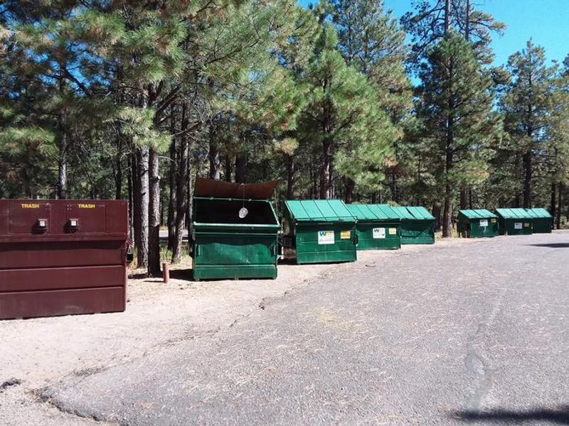
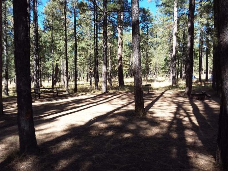
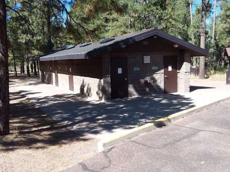
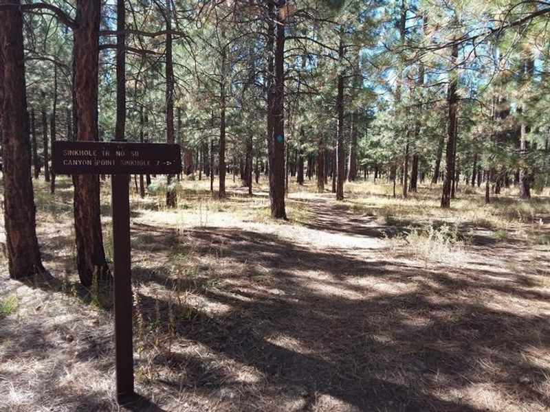
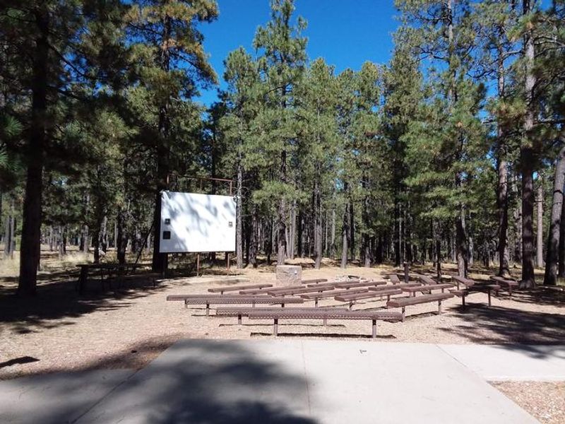
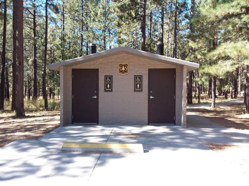
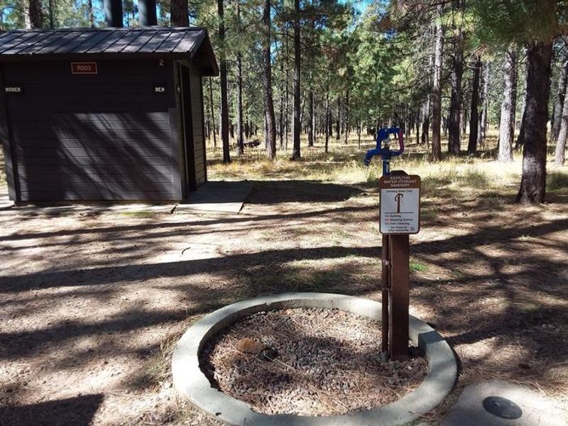
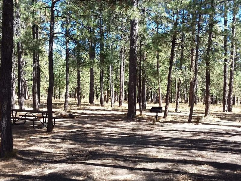
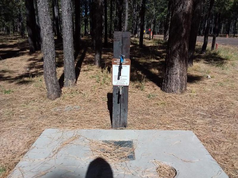
Canyon Point Campground lies at 7,500 feet elevation in a heavily wooded pine and aspen area above the Mogollon Rim in the Apache-Sitgreaves National Forest. The facility offers 113 campsites ranging from standard single sites to double sites accommodating up to 16 people and group sites for 25-55 people. Thirty-two sites have electrical hookups, and the campground can accommodate RVs and trailers up to 75 feet. Amenities include flush and vault restrooms, hot showers, potable water, and firewood for sale. Each site has a picnic table and campfire ring with grill. Three ADA-accessible family units are available. The Forest Service hosts interpretive programs at the on-site amphitheater on weekends. The campground provides excellent access to hiking trails including the Sinkhole Trail and paths to the Mogollon Rim edge with spectacular views. Willow Springs Lake, 5 miles away, offers trout fishing and boating with a 10 HP gas motor limit.
Directions
Located on State Highway 260 at milepost 287, approximately 4.5 miles east of the Rim Visitor Information Station or 19 miles west of Heber, Arizona.
Amenities
| Water | Yes |
| Fires Allowed | Yes |
| Toilets | Yes |
| Dump Station | — |
| Wifi | — |
| Pets Allowed | Yes |
| Showers | Yes |
| Electric Hookups | Yes |
| Water Hookups | No |
| Sewer Hookups | No |
| Camp Store | — |
| Price | $38 - $120 |
Vehicle
| Max RV Length | 99ft |
| Max Trailer Length | 99ft |
| Big Rig Friendly | Yes |
| Pull Through Sites | No |
Contact
| Phone | +1 (928) 535-0181 |
Cell Service
| AT&T | None |
| Verizon | Yes |
| T-Mobile | None |
Availability
Photos
Community Posts
No posts yet. Be the first to share your experience!