Boley Field Group Campground
Open April 1 through November 1. Reservations available via Recreation.gov at $35 per night. Gate code required for entry, provided in confirmation email or by calling the ranger district. Maximum 14-night consecutive stay.
About
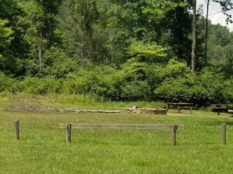
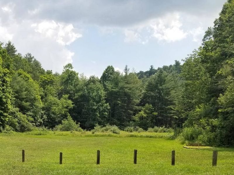
Boley Field Group Campground is a primitive group camping area nestled in a narrow valley along Poverty Creek at the base of Brush Mountain in Jefferson National Forest. The site features a large open field ideal for groups wanting to tent camp together with minimal amenities. A group fire ring, picnic tables, standing grill, and vault toilet are provided, but there is no potable water, so campers must bring their own supply. The campground offers direct access to the 17-mile Poverty Creek Trail System, popular with hikers and mountain bikers. Poverty Creek is stocked with trout, providing fishing opportunities, and its cool waters offer a refreshing escape on warm days. The New River is also minutes away for those seeking a bigger river experience. Access requires navigating an unpaved road with a creek crossing where vehicles towing trailers may bottom out. The site is located within a floodplain with flash flood potential. A gate code is required for entry, provided in your reservation confirmation email or by calling the Eastern Divide Ranger District. Cell service is typically unavailable.
Directions
From Blacksburg, VA: Take US 460 west for 3 miles. Turn left on Forest Service Road 708 at the Montgomery/Giles County line. Travel 4.5 miles. Boley Field gate is on the left. Note: The road is unpaved and vehicles towing trailers will hit the ground at the creek crossing.
Nearby Campgrounds
Amenities
| Water | No |
| Fires Allowed | Yes |
| Toilets | Yes |
| Dump Station | No |
| Wifi | No |
| Pets Allowed | Yes |
| Showers | No |
| Electric Hookups | — |
| Water Hookups | — |
| Sewer Hookups | — |
| Camp Store | No |
| Price | $35 |
Vehicle
| Max RV Length | — |
| Max Trailer Length | — |
| Big Rig Friendly | No |
| Pull Through Sites | No |
Contact
| Phone | +1 (540) 552-4641 |
Cell Service
| AT&T | Yes |
| Verizon | Yes |
| T-Mobile | None |
Useful Links
| View on Recreation.gov | |
| USFS Campground Info |
Availability
Photos
Community Posts
No posts yet. Be the first to share your experience!