Basin Cove Backcountry Camping
Open year-round. Free permit required via Recreation.gov; permits allow a maximum of 3 consecutive nights and 6 people per site (18 total). No toilets or potable water available. All trash must be packed out.
About
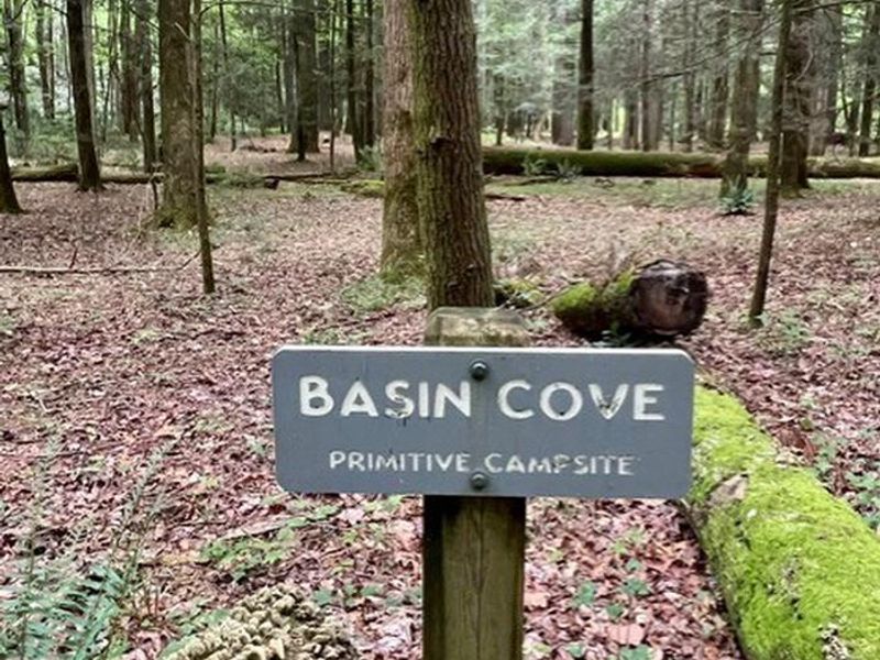
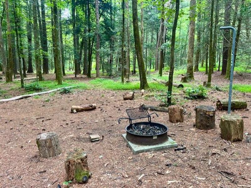
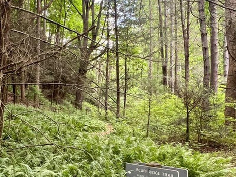
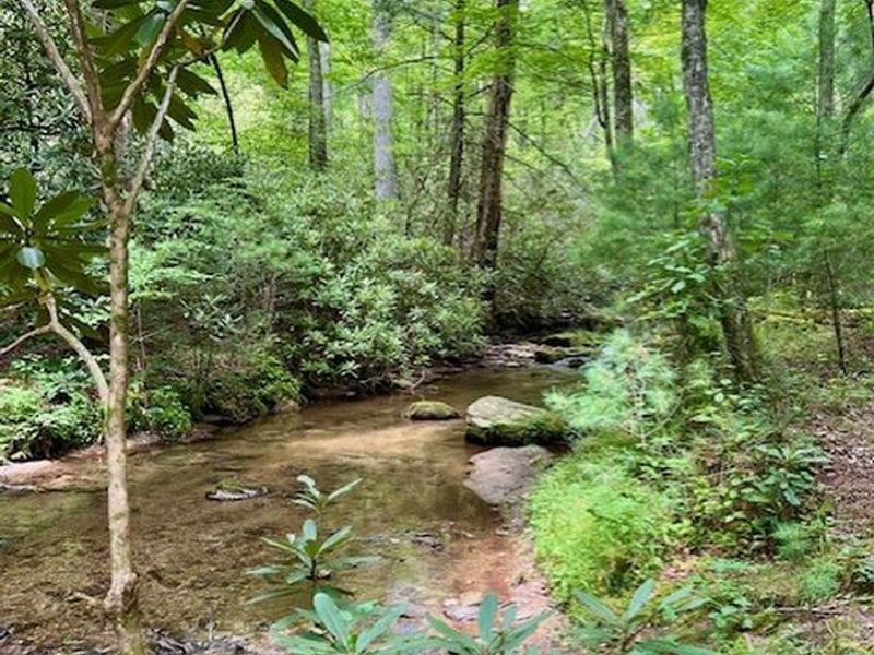
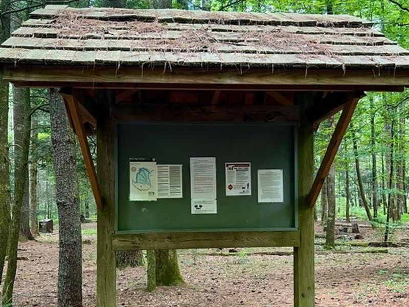
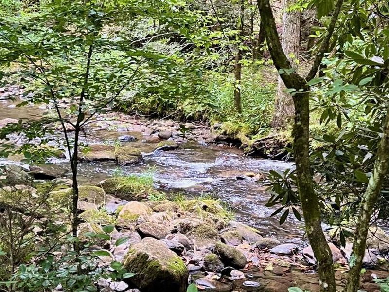
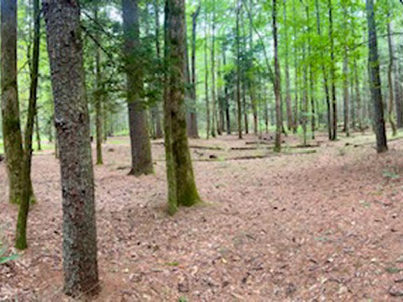
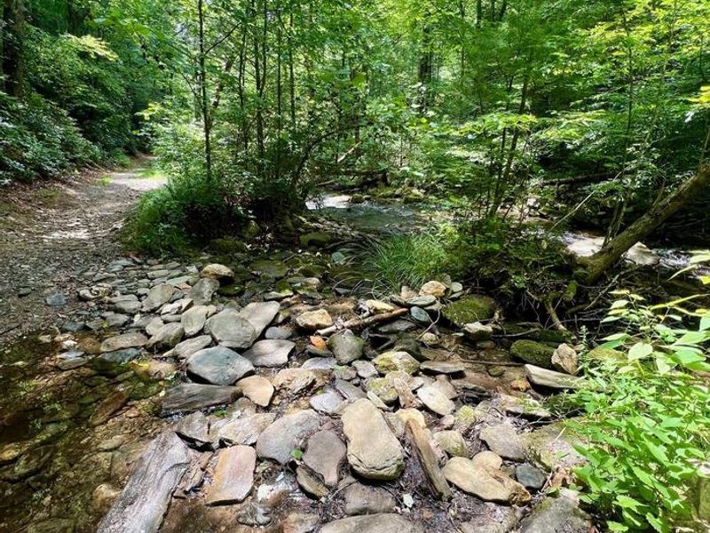
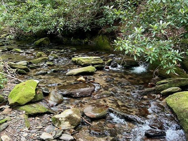
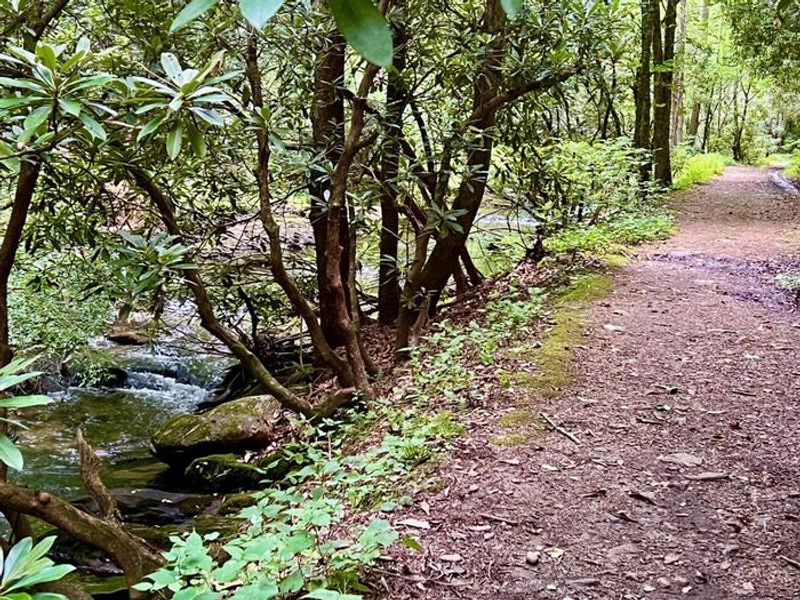
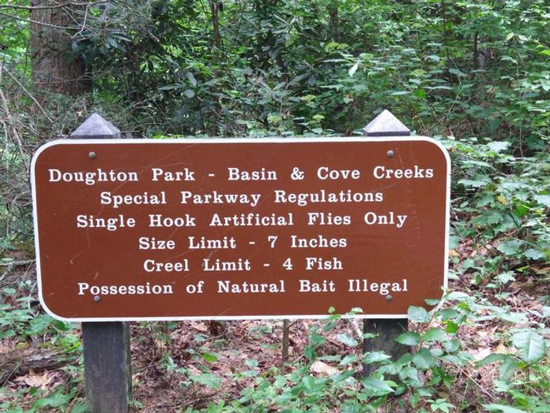
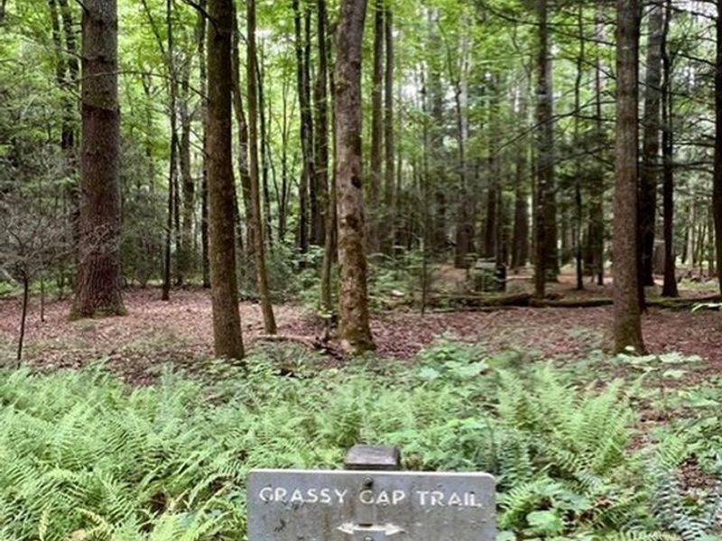
Basin Cove Backcountry Camping is a primitive campground located in the historic Basin Cove area within Doughton Park on the Blue Ridge Parkway in North Carolina. The area was once a thriving community of over 50 families from 1863 to 1916, until catastrophic mudslides from 22 inches of rain over three days destroyed nearly all structures. Remnants of homesites and graves are scattered throughout, and the 3.5-mile Caudill Cabin trail leads to the only surviving cabin. The campground features eight designated backcountry sites, each with an individual fire ring, lantern post, and bear-proof food storage box. This is true primitive camping: no toilets or privies exist, and campers must bury human waste at least 6 inches deep and 100 feet from water sources. Surface water from the multiple creeks must be purified before drinking. All trash must be packed out. Black bears inhabit the 6,000+ acres of surrounding public land, so proper food storage is essential. Access requires hiking, with trails descending over 1,500 feet from the Blue Ridge Parkway to the campground. The easiest route is via Grassy Gap Fire Road from Longbottom Road. Doughton Park's trail system offers more than 28 miles of hiking, and special parkway fishing regulations apply to Basin Cove's creeks. Thunderstorms are common along the escarpment, and cell phones typically do not work in the area.
Directions
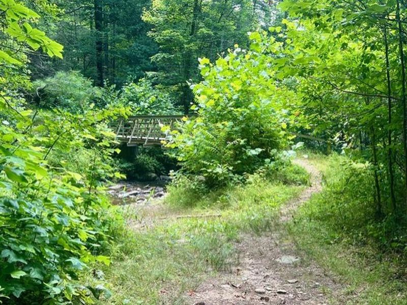
Grassy Gap Fire Road from Longbottom Road is the shortest and easiest route. From the Blue Ridge Parkway, head south on NC 18 for 6.2 miles, turn left on Longbottom Road and continue 6.4 miles to the small bridge with black and yellow marker signs. Parking is beside the bridge at elevation 1,440 feet. The trailhead is across the road from the parking area at a gated road. Alternative parkway trailheads include Bluff Mountain Overlook (MP 243.4), Basin Cove Overlook (MP 244), and Grassy Gap Fire Road (MP 243.9).
Location
Amenities
| Water | No |
| Fires Allowed | Yes |
| Toilets | No |
| Dump Station | No |
| Wifi | No |
| Pets Allowed | Yes |
| Showers | No |
| Electric Hookups | — |
| Water Hookups | — |
| Sewer Hookups | — |
| Camp Store | No |
| Price | $0 |
Vehicle
| Max RV Length | — |
| Max Trailer Length | — |
| Big Rig Friendly | No |
| Pull Through Sites | No |
Contact
| blri_campgrounds@nps.gov | |
| Phone | +1 (828) 348-3510 |
Cell Service
| AT&T | None |
| Verizon | None |
| T-Mobile | None |
Availability
Photos
Community Posts
No posts yet. Be the first to share your experience!