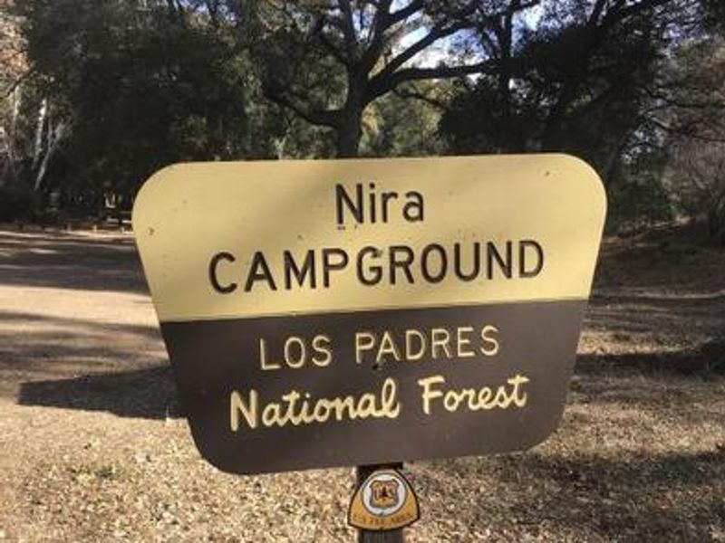
Nira Campground
Open year-round. Nine sites are reservable through Recreation.gov; three sites remain first-come, first-served. Two-night minimum on weekends, three-night minimum on holidays. Dogs must be leashed. No potable water available.
Extreme Heat Warning issued July 28 at 9:57AM PDT until August 2 at 8:00PM PDT by NWS Los Angeles/Oxnard CA
* WHAT...Dangerously hot conditions with temperatures of 95 to 110 expected. * WHERE...A large portion of southwest California including the coastal ranges and adjacent foothills, as well as the coastal valleys. * WHEN...From 10 AM Friday to 8 PM PDT Sunday. * IMPACTS...Heat related illnesses increase significantly during extreme heat and high humidity events. * ADDITIONAL DETAILS...Heat hazards may extend into next week for portions of the region.
National Forest System Roads
Follow California Vehicle Code on National Forest System Roads
Fireworks and Explosives are always Prohibited
Fireworks and explosives (including explosive targets) are always prohibited on national forest lands. The prohibition of fireworks and exploding targets on national forest system lands is part of a set of permanent fire safety regulations in the Code of Federal Regulations (CFR), listed below.…
About
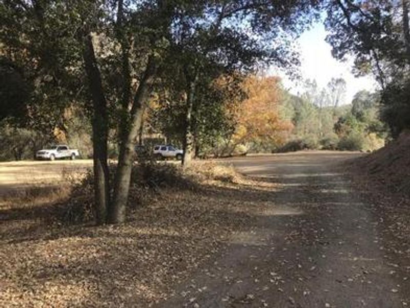
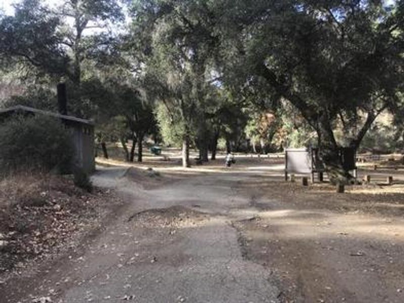
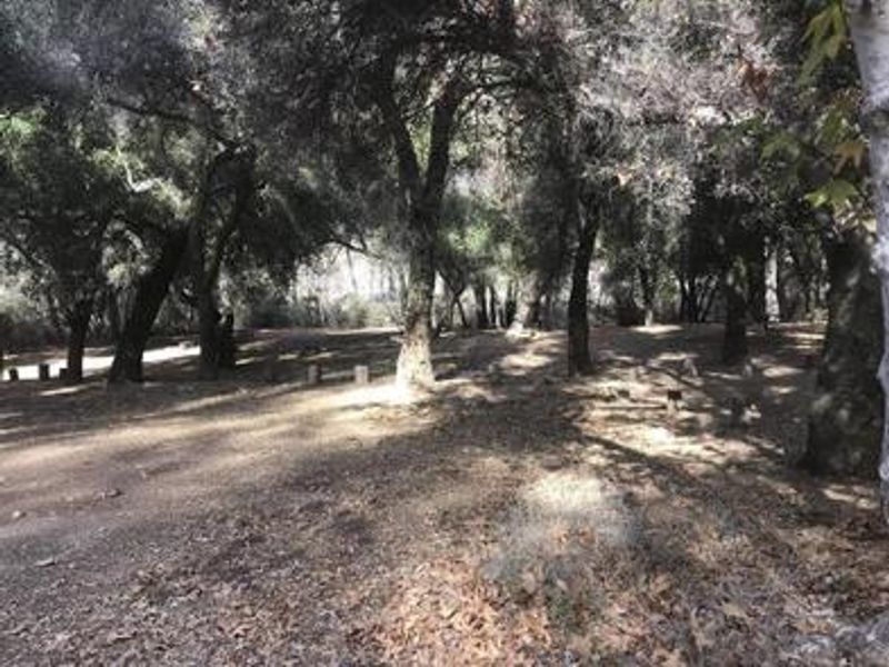
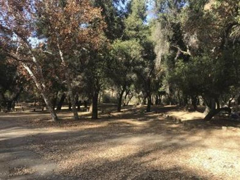
Nira Campground is a scenic, oak-shaded retreat along Manzana Creek in California's Los Padres National Forest. The campground offers 12 sites spread among the trees, with 9 available through Recreation.gov reservations and 3 held for first-come, first-served visitors. Each site includes a picnic table, fire ring, and barbecue grill. Two vault toilets and a dumpster serve the campground, though no potable water is available. The campground serves as a primary access point for the San Rafael Wilderness via the Upper Manzana Creek Trail to the Manzana Narrows. Hikers, backpackers, mountain bikers, and equestrians all use Nira as a staging area. The creek running through the campground provides opportunities for swimming and fishing, and the oak woodland attracts abundant birdlife including kingfishers, Steller's jays, and warblers. Small RVs under 20 feet can be accommodated at most sites, though sites 1-3 are restricted to tent and car camping only due to size limitations. The nearby towns of Los Olivos, Santa Ynez, Solvang, and Buellton are all within an hour's drive for supplies.
Directions
From Highway 154: Take Armour Ranch Road to Happy Canyon Road, then drive 11 miles northeast to Cachuma Saddle. Continue north on Sunset Valley Road for 6 miles to the campground.
Amenities
| Water | No |
| Fires Allowed | Yes |
| Toilets | Yes |
| Dump Station | — |
| Wifi | No |
| Pets Allowed | Yes |
| Showers | No |
| Electric Hookups | — |
| Water Hookups | — |
| Sewer Hookups | — |
| Camp Store | No |
| Price | $30 |
Vehicle
| Max RV Length | 24ft |
| Max Trailer Length | 24ft |
| Big Rig Friendly | No |
| Pull Through Sites | No |
Contact
| customerservice@pmcparks.com | |
| Phone | +1 (805) 434-1996 |
Cell Service
| AT&T | None |
| Verizon | None |
| T-Mobile | None |
Availability
Photos


Community Posts
No posts yet. Be the first to share your experience!