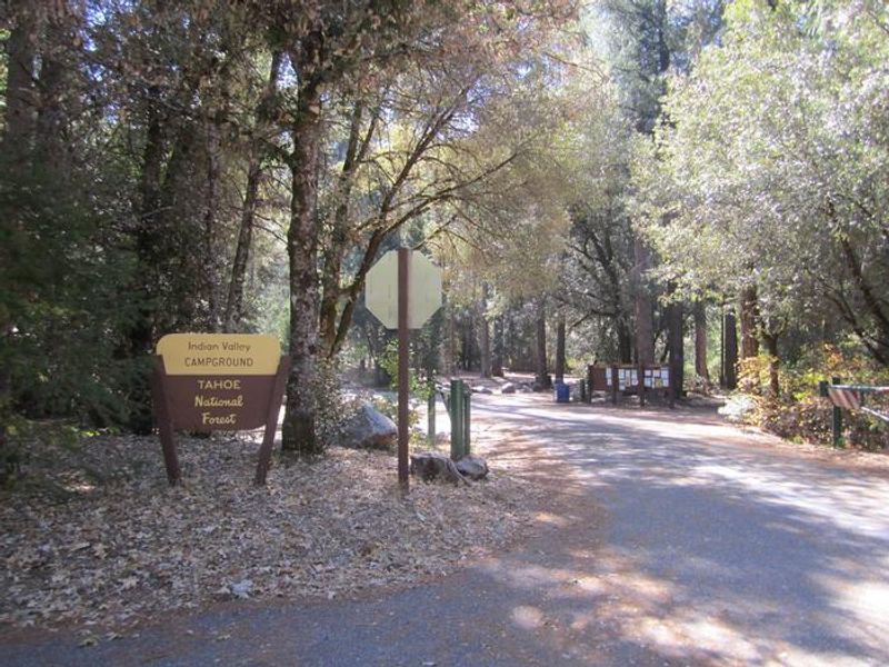
Indian Valley
Open for the 2026 season. The campground operates approximately April 17 through October 15, weather permitting. Sites are available first-come-first-served and via Recreation.gov reservations. Water systems may not be operational; campers should bring drinking water.
National Forest System Roads
Follow California Vehicle Code on National Forest System Roads
Fireworks and Explosives are always Prohibited
Fireworks and explosives (including explosive targets) are always prohibited on national forest lands. The prohibition of fireworks and exploding targets on national forest system lands is part of a set of permanent fire safety regulations in the Code of Federal Regulations (CFR), listed below.…
Downieville Downhill Closure Order
Closure of identified forest roads and trails for Downieville Downhill.
About
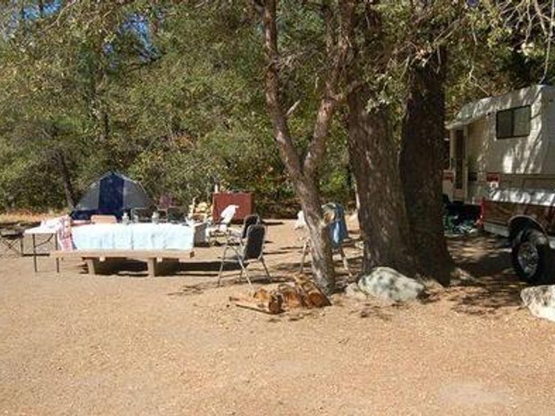
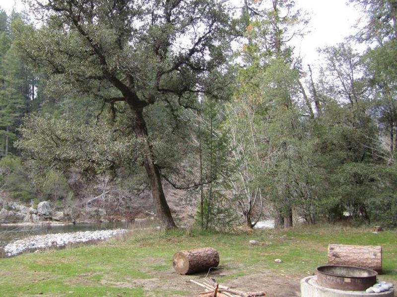
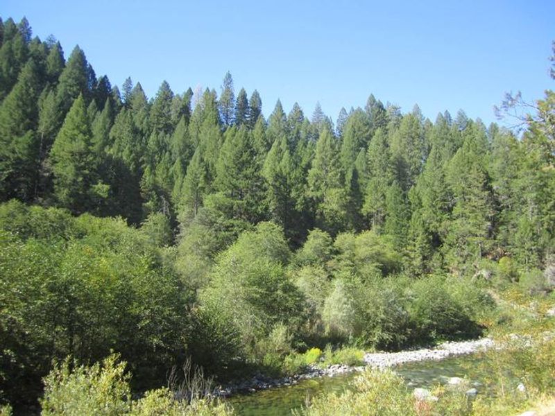
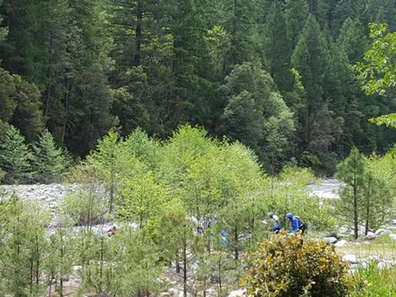
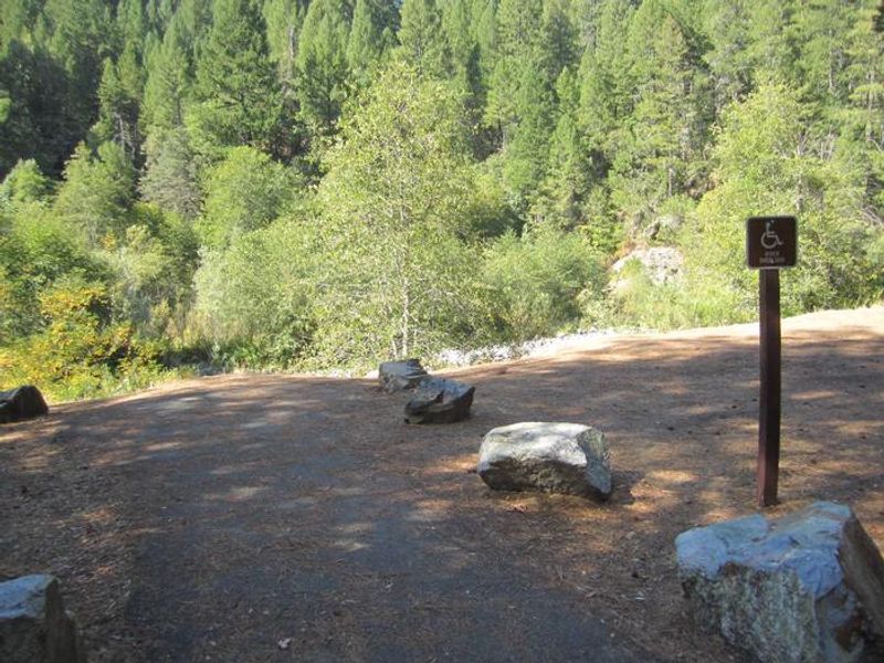
Indian Valley Campground is located alongside the North Yuba River in the Tahoe National Forest, just off the Yuba Donner Scenic Byway (Highway 49). The campground features 19 sites spread beneath a mixed forest of oak, fir, pine, and madrone trees that provides ample shade throughout the day. Many sites have direct views of the river, and remnants of historic gold dredging operations are visible in the tumbled rock piles scattered around the area. The North Yuba River offers swimming, wading, and rainbow trout fishing directly from the campground. Seasonal rafting, kayaking, and tubing are popular activities when water levels permit. A network of trails for hiking, mountain biking, and motorcycle singletrack crisscrosses the surrounding area, including the Yuba River Trail, Halls Ranch Trail, Butcher Ranch Trail, and the famous Downieville Downhill. The campground sits on the Yuba Donner Scenic Byway near gold rush era historical sites and old mining towns such as Camptonville, Goodyears Bar, and Downieville. Other nearby attractions include New Bullards Bar Reservoir and the Indian Valley Outpost.
Directions
From Downieville, take Highway 49 south for about 11 miles. The campground is on the left side of the highway. From Camptonville, drive 10 miles northeast on Highway 49. The campground is on the North Yuba River.
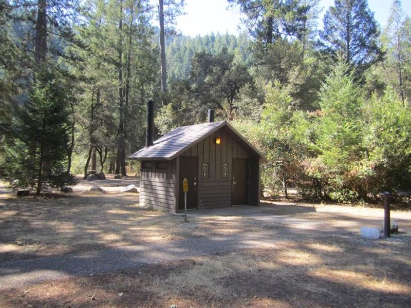
Amenities
| Water | Yes |
| Fires Allowed | Yes |
| Toilets | Yes |
| Dump Station | No |
| Wifi | No |
| Pets Allowed | Yes |
| Showers | No |
| Electric Hookups | — |
| Water Hookups | — |
| Sewer Hookups | — |
| Camp Store | No |
| Price | $48 |
Vehicle
| Max RV Length | 35ft |
| Max Trailer Length | 35ft |
| Big Rig Friendly | No |
| Pull Through Sites | No |
Contact
| Phone | +1 (530) 478-6253 |
Cell Service
| AT&T | None |
| Verizon | None |
| T-Mobile | None |
Availability
Photos

Community Posts
No posts yet. Be the first to share your experience!