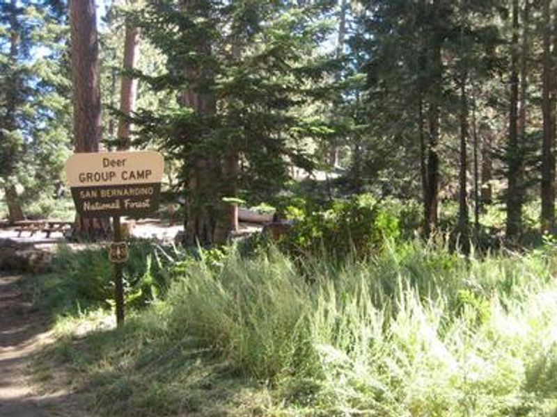
Deer Group Camp
Open for the 2026 season from May 1 through October 4. Reservations available via Recreation.gov up to 12 months in advance. Fire restrictions may be in effect due to seasonal conditions; check current fire orders before arrival. Bears are active in the area; proper food storage required.
Heat Advisory issued July 30 at 2:16PM PDT until August 2 at 8:00PM PDT by NWS Los Angeles/Oxnard CA
* WHAT...Temperatures of 90 to 100 expected. * WHERE...A portion of southwest California near the coast including the beaches. * WHEN...Until 8 PM PDT Sunday. * IMPACTS...Heat hazards may extend into next week for portions of the region. * ADDITIONAL DETAILS...Heat hazards may extend into next week for portions of the region.
National Forest System Roads
Follow California Vehicle Code on National Forest System Roads
Fireworks and Explosives are always Prohibited
Fireworks and explosives (including explosive targets) are always prohibited on national forest lands. The prohibition of fireworks and exploding targets on national forest system lands is part of a set of permanent fire safety regulations in the Code of Federal Regulations (CFR), listed below.…
About
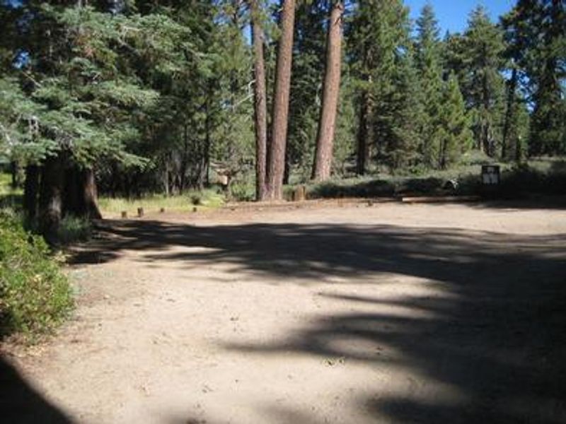
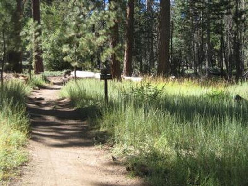
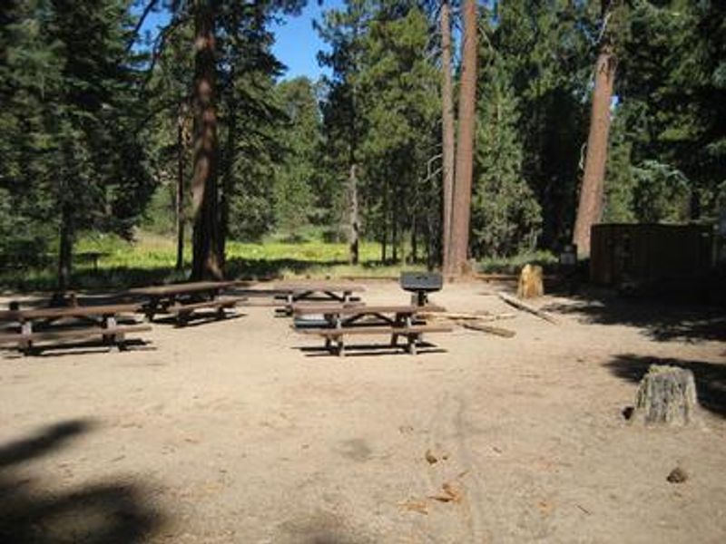
Deer Group Camp offers a secluded group camping experience in the San Bernardino National Forest, situated in a mature conifer stand south of Big Bear Lake. The campground sits at 7,625 feet elevation, where tall pines provide extensive shade throughout the day. The single group site can accommodate up to 40 people with a maximum of 8 vehicles, making it ideal for extended families, scout troops, or organized groups seeking a mountain retreat. The site is equipped with 5 picnic tables, a double pedestal grill, a group fire ring for evening gatherings, and vault toilets. There is no potable water on-site, so all drinking water must be packed in. This is also a pack-in/pack-out facility with no trash collection services. Access requires travel on a rough Forest Service road; high-clearance or 4WD vehicles are strongly recommended. Recreation opportunities abound nearby. Big Bear Lake is just north of the campground, offering fishing for trout, bluegill, crappie, catfish, and largemouth bass, along with boating and designated swimming areas. The Seven Oaks Trail provides hiking and mountain biking access to spectacular views of San Gorgonio Peak, Southern California's highest point. The Big Bear Discovery Center is approximately 10 miles away with visitor information and interpretive programs.
Directions
From I-10, take State Highway 330 to Running Springs. Turn onto State Highway 18 and continue to Big Bear Lake Dam. Continue 3 miles on Highway 18 and turn right on Tulip Lane. Turn right onto Mill Creek Road (Forest Route 2N10) for 1.6 miles, turn left on 2N17 for 2 miles, then go straight onto 2N08 for 0.2 miles, then turn left onto 2N45Y to the campground. High-clearance or 4WD vehicle recommended.
Amenities
| Water | No |
| Fires Allowed | Yes |
| Toilets | Yes |
| Dump Station | — |
| Wifi | No |
| Pets Allowed | Yes |
| Showers | No |
| Electric Hookups | — |
| Water Hookups | — |
| Sewer Hookups | — |
| Camp Store | No |
| Price | $149 |
Vehicle
| Max RV Length | 30ft |
| Max Trailer Length | — |
| Big Rig Friendly | No |
| Pull Through Sites | No |
Contact
| Phone | +1 (909) 382-2790 |
Cell Service
| AT&T | None |
| Verizon | Yes |
| T-Mobile | None |
Availability
Photos
Community Posts
No posts yet. Be the first to share your experience!