Yuba Pass Campground
Closed for 2026 due to hazard trees. When operational, the campground typically opens Memorial Day weekend through Labor Day.
National Forest System Roads
Follow California Vehicle Code on National Forest System Roads
Fireworks and Explosives are always Prohibited
Fireworks and explosives (including explosive targets) are always prohibited on national forest lands. The prohibition of fireworks and exploding targets on national forest system lands is part of a set of permanent fire safety regulations in the Code of Federal Regulations (CFR), listed below.…
Downieville Downhill Closure Order
Closure of identified forest roads and trails for Downieville Downhill.
About
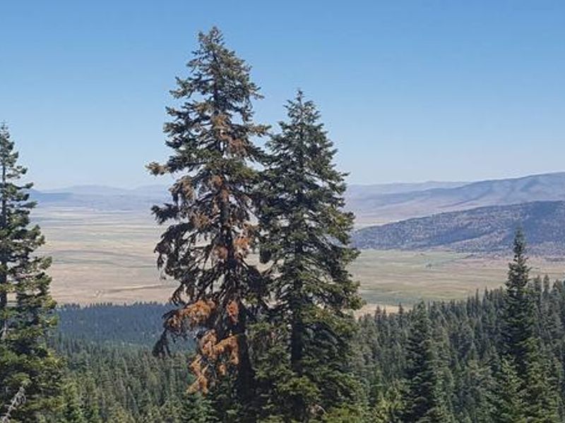
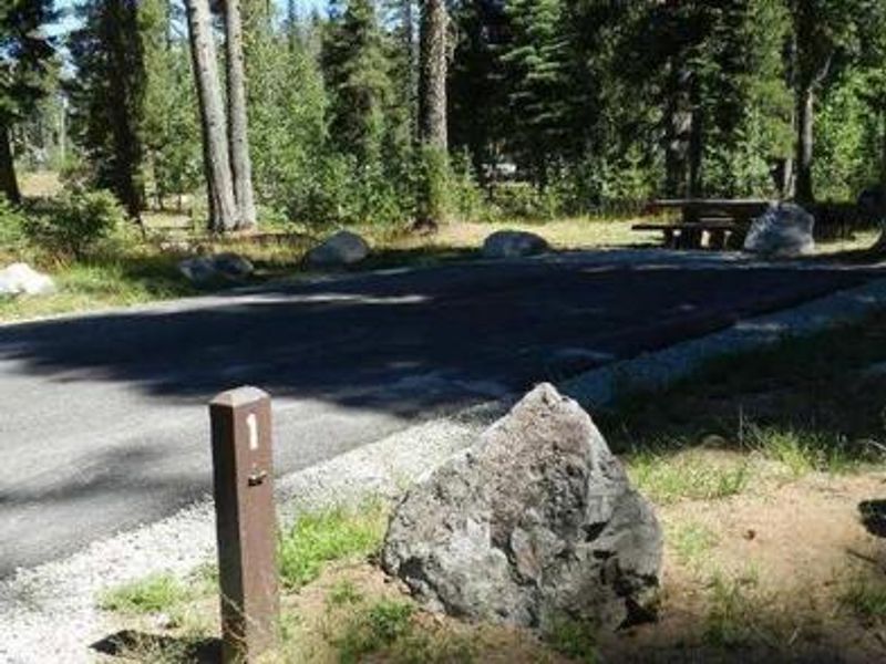
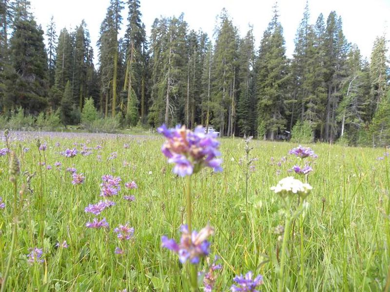
Yuba Pass Campground occupies a scenic ridgetop location in the North Yuba River area of the Tahoe National Forest. The 20-site campground is nestled beneath a canopy of old-growth red fir trees, providing ample shade and a cool retreat during summer months. The peaceful setting makes it one of the region's best birding destinations, with species including sandhill cranes, hermit warblers, black-backed woodpeckers, sapsuckers, sooty grouse, bald eagles, and osprey regularly spotted. Recreational opportunities abound in the surrounding area. The Gold Lakes Basin offers extensive hiking, mountain biking, and motorcycle trails, with over 30 miles of maintained singletrack. The Pacific Crest Trail can be accessed at multiple points nearby. Sardine Lakes, approximately nine miles west, provides swimming, fishing, and boat rentals. The historic towns of Sierra City and Sierraville offer restaurants, shops, and visitor information along the Yuba Donner Scenic Byway. Each campsite includes a picnic table and fire ring. Vault toilets and drinking water from faucets are provided when the campground is operational. Bears frequent the area, so all food must be stored in approved bear-resistant containers. Sites accommodate tents and RVs up to 40 feet with back-in access on gravel pads.
Directions
From Sierra City, travel 11 miles northeast on Highway 49; the campground is on the right. From Sierraville, drive 11 miles west on Highway 49. Turn left at the Sno-Park entrance and continue about a quarter-mile to the campground entrance on the right.
Amenities
| Water | Yes |
| Fires Allowed | Yes |
| Toilets | Yes |
| Dump Station | No |
| Wifi | No |
| Pets Allowed | Yes |
| Showers | No |
| Electric Hookups | — |
| Water Hookups | — |
| Sewer Hookups | — |
| Camp Store | No |
| Price | $24 |
Vehicle
| Max RV Length | 60ft |
| Max Trailer Length | — |
| Big Rig Friendly | No |
| Pull Through Sites | No |
Contact
| Phone | +1 (530) 478-6253 |
Cell Service
| AT&T | None |
| Verizon | None |
| T-Mobile | None |
Availability
Photos
Community Posts
No posts yet. Be the first to share your experience!