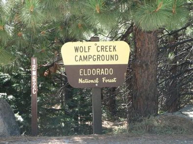
Wolf Creek California
Currently closed for the season. Wolf Creek Campground typically operates from June through September, with exact opening dates dependent on snowfall conditions. Reservations available through Recreation.gov.
National Forest System Roads
Follow California Vehicle Code on National Forest System Roads
Fireworks and Explosives are always Prohibited
Fireworks and explosives (including explosive targets) are always prohibited on national forest lands. The prohibition of fireworks and exploding targets on national forest system lands is part of a set of permanent fire safety regulations in the Code of Federal Regulations (CFR), listed below.…
Fire Restrictions are in Effect Forest Wide
Fire Restrictions are in effect forest wide. No campfires except in existing stoves, charcoal grills, or fire rings provided in the Recreation Sites listed in Exhibit A in the Forest Order and actively serviced by a camp host.No charcoal firesCamp stoves, lanterns and propane fire rings are…
About
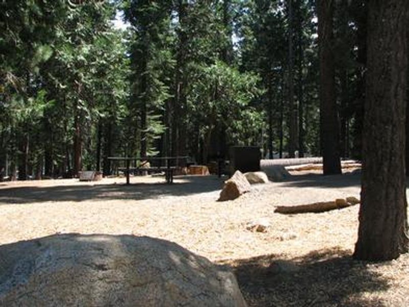
Wolf Creek Campground is a well-equipped facility located on the scenic north shore of Union Valley Reservoir in the Crystal Basin region of Eldorado National Forest. At an elevation of 4,900 feet among granite peaks and pine forest, the campground offers 42 campsites spread across two loops, including tent-only sites, tent/trailer/RV sites, double sites, and three group sites accommodating 25 to 50 people. The campground provides vault toilets, potable water from faucets, fire rings, picnic tables, and bear-proof food storage lockers. An on-site host is present during the operating season. There are no hookups, showers, or dump station at Wolf Creek, though showers are available at nearby Fashoda Campground and a dump station at Yellowjacket Campground. Union Valley Reservoir offers excellent recreation including fishing for rainbow, brown, and mackinaw trout and kokanee salmon. Boating, water skiing, and swimming are popular activities, with the nearest boat ramp at Yellowjacket Campground. The paved 4.8-mile Union Valley Bike Trail connects several campgrounds along the east side of the lake with interpretive signs about local water resource history. The Desolation Wilderness is nearby for backcountry exploration.
Directions
From Placerville, take Highway 50 east for 23 miles to Ice House Road (Forest Road 3). Turn left and continue north for 19 miles, then turn left onto Forest Road 12N78 and drive 2 miles west to the campground on the north side of Union Valley Reservoir.
Amenities
| Water | Yes |
| Fires Allowed | Yes |
| Toilets | Yes |
| Dump Station | No |
| Wifi | — |
| Pets Allowed | Yes |
| Showers | No |
| Electric Hookups | — |
| Water Hookups | — |
| Sewer Hookups | — |
| Camp Store | — |
| Price | $36 - $140 |
Vehicle
| Max RV Length | 50ft |
| Max Trailer Length | 50ft |
| Big Rig Friendly | — |
| Pull Through Sites | No |
Contact
| info@royalelkparkmanagement.com | |
| Phone | +1 (831) 245-6891 |
Cell Service
| AT&T | Yes |
| Verizon | Yes |
| T-Mobile | Yes |
Availability
Photos

Community Posts
No posts yet. Be the first to share your experience!