Wench Creek
The campground opens for the 2026 season on May 22. Operating season runs through September. Single-family sites are first-come, first-served; group sites are reservable via Recreation.gov. Water systems may not be operational early in the season. Maximum stay is 14 nights per calendar year forest-wide.
National Forest System Roads
Follow California Vehicle Code on National Forest System Roads
Fireworks and Explosives are always Prohibited
Fireworks and explosives (including explosive targets) are always prohibited on national forest lands. The prohibition of fireworks and exploding targets on national forest system lands is part of a set of permanent fire safety regulations in the Code of Federal Regulations (CFR), listed below.…
Fire Restrictions are in Effect Forest Wide
Fire Restrictions are in effect forest wide. No campfires except in existing stoves, charcoal grills, or fire rings provided in the Recreation Sites listed in Exhibit A in the Forest Order and actively serviced by a camp host.No charcoal firesCamp stoves, lanterns and propane fire rings are…
About
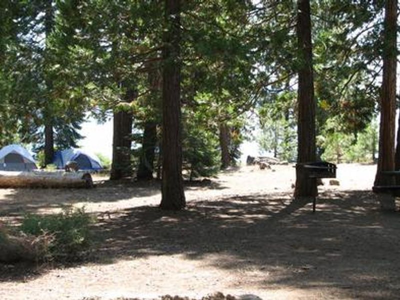
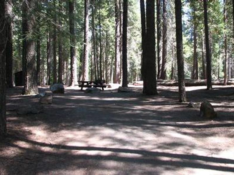
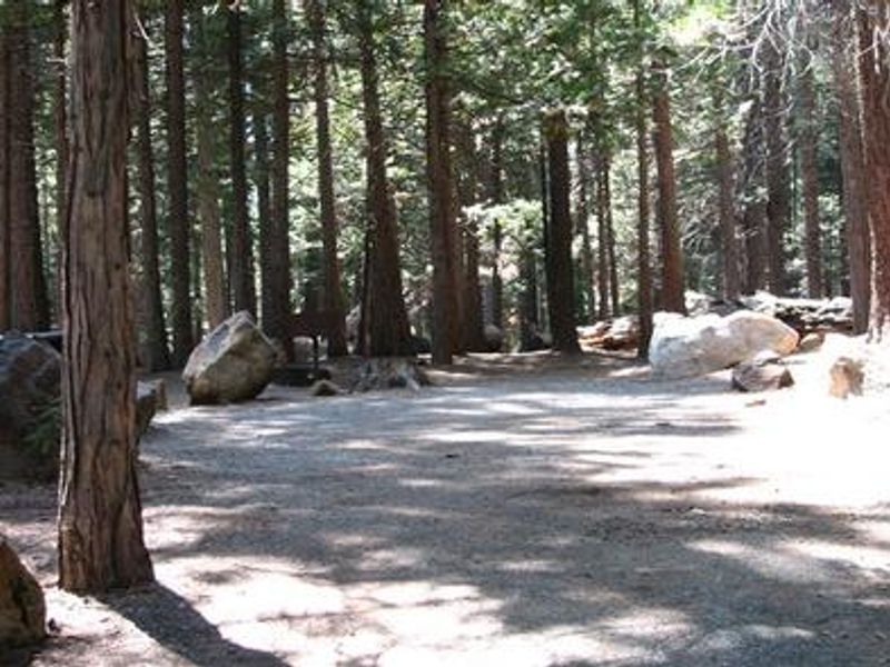
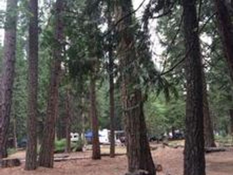
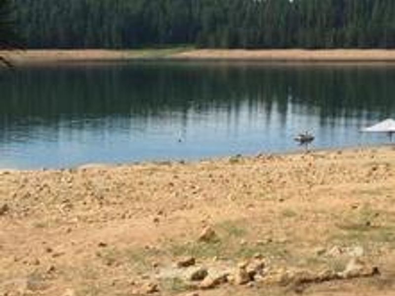
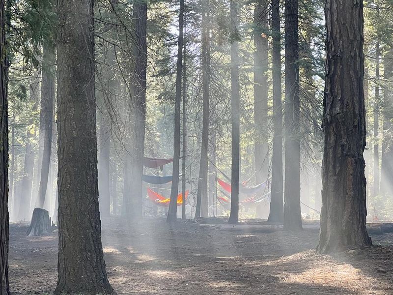
Wench Creek Campground is located in a ponderosa pine forest on the east shore of Union Valley Reservoir within the Crystal Basin Recreation Area of Eldorado National Forest. At 4,900 feet elevation, the campground offers direct access to a popular Sierra Nevada reservoir known for kokanee salmon, rainbow trout, brown trout, smallmouth bass, and mackinaw. Boat ramps are located at nearby Sunset and Yellowjacket campgrounds. The campground has approximately 100 single-family sites spread across three loops (Wench I, II, and III), all available on a first-come, first-served basis. Two group sites can each accommodate up to 50 people and are reservable through Recreation.gov. Sites include fire rings, grills, and picnic tables. Flush toilets and drinking water are provided when seasonal systems are operational. The Union Valley Bike Trail passes through the campground, spanning 4.8 miles with a gentle 300-foot elevation gain to Jones Fork Campground. Interpretive signs along the trail explain the history of water resource development in Union Valley. The Bassi Falls Hiking Trail and Desolation Wilderness are also accessible from the area.
Directions
From Placerville, take Highway 50 east approximately 21-23 miles to Riverton. Turn left onto Ice House Road (Forest Road 3). Continue north approximately 15-19 miles to the Wench Creek turnoff, then turn left to reach the campground on the east side of Union Valley Reservoir.
Amenities
| Water | Yes |
| Fires Allowed | Yes |
| Toilets | Yes |
| Dump Station | — |
| Wifi | No |
| Pets Allowed | Yes |
| Showers | No |
| Electric Hookups | — |
| Water Hookups | — |
| Sewer Hookups | — |
| Camp Store | — |
| Price | $36 - $160 |
Vehicle
| Max RV Length | 35ft |
| Max Trailer Length | 35ft |
| Big Rig Friendly | — |
| Pull Through Sites | No |
Contact
| info@royalelkparkmanagement.com | |
| Phone | +1 (530) 644-2324 |
Cell Service
| AT&T | Yes |
| Verizon | Yes |
| T-Mobile | Yes |
Availability
Photos

Community Posts
No posts yet. Be the first to share your experience!