Fashoda
Currently closed for the season. Potential opening May 22, 2026 at 2 PM. Operating season typically runs June through September. 100% reservable via Recreation.gov.
National Forest System Roads
Follow California Vehicle Code on National Forest System Roads
Fireworks and Explosives are always Prohibited
Fireworks and explosives (including explosive targets) are always prohibited on national forest lands. The prohibition of fireworks and exploding targets on national forest system lands is part of a set of permanent fire safety regulations in the Code of Federal Regulations (CFR), listed below.…
Fire Restrictions are in Effect Forest Wide
Fire Restrictions are in effect forest wide. No campfires except in existing stoves, charcoal grills, or fire rings provided in the Recreation Sites listed in Exhibit A in the Forest Order and actively serviced by a camp host.No charcoal firesCamp stoves, lanterns and propane fire rings are…
About
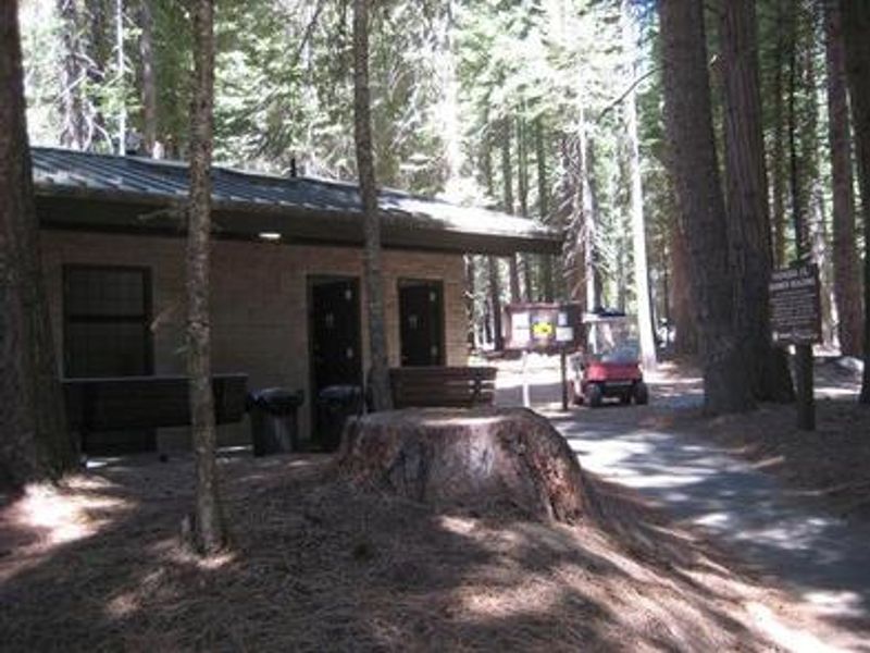
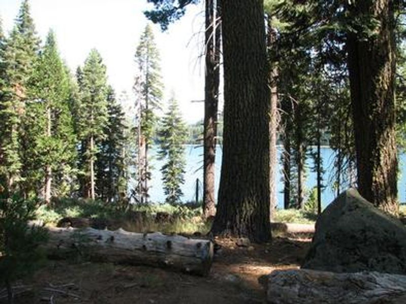
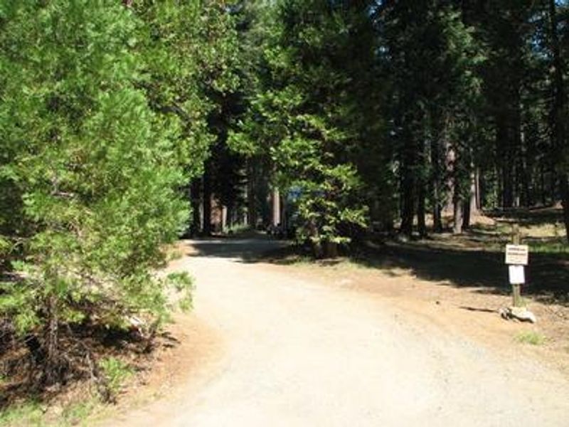
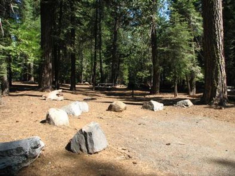
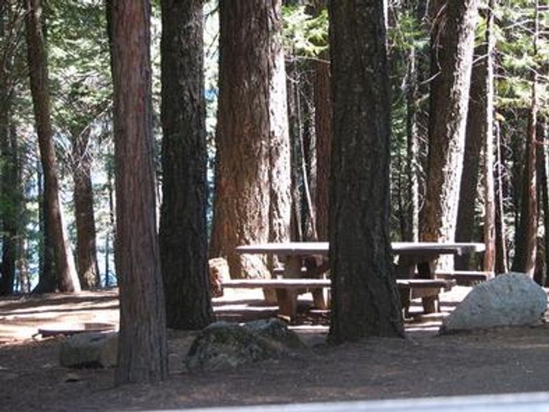
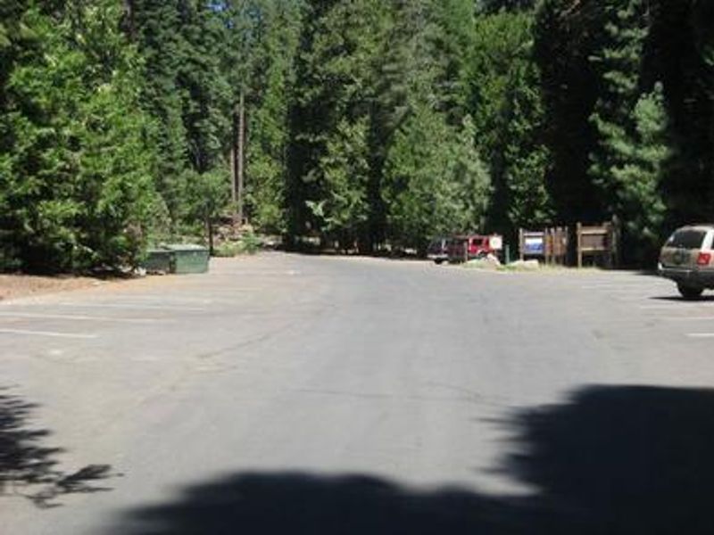
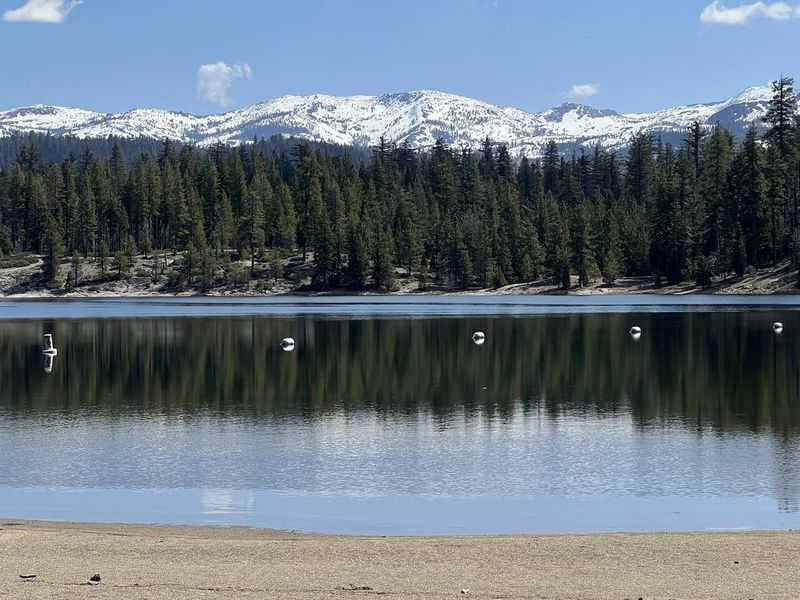
Fashoda Campground occupies a scenic peninsula on the eastern side of Union Valley Reservoir in the Crystal Basin area of Eldorado National Forest. At 4,900 feet elevation, the campground offers 30 walk-in tent sites spread across two loops. Vehicles are parked in a lot above the campground, and campers walk down to their sites. The setting provides direct access to the reservoir's waters and surrounding forest. Union Valley Reservoir is a hub for water recreation including swimming, sailing, water skiing, and fishing. Anglers target rainbow, brown, and mackinaw trout along with Kokanee salmon. The 4.8-mile Union Valley Bike Trail connects Fashoda to other campgrounds on the east side of the lake, running from Wench Creek down to Jones Fork Campground with an easy 300-foot elevation gain. Bears are active in the area, so all food, toiletries, and garbage must be stored in the provided bear boxes. The campground has vault toilets, potable water, showers, picnic tables, fire rings with grills, and garbage service. Sites accommodate up to 6 people and stays are limited to 14 days per year within the district.
Directions
From Placerville, take Highway 50 east for 23 miles. Turn north on Forest Road 3 (Ice House Road) for 15 miles. Look for signs to the campground.
Location
Amenities
| Water | Yes |
| Fires Allowed | Yes |
| Toilets | Yes |
| Dump Station | No |
| Wifi | — |
| Pets Allowed | Yes |
| Showers | Yes |
| Electric Hookups | — |
| Water Hookups | — |
| Sewer Hookups | — |
| Camp Store | — |
| Price | $36 |
Vehicle
| Max RV Length | — |
| Max Trailer Length | — |
| Big Rig Friendly | No |
| Pull Through Sites | No |
Contact
| info@royalelkparkmanagement.com | |
| Phone | +1 (530) 644-2324 |
Cell Service
| AT&T | Yes |
| Verizon | Yes |
| T-Mobile | Yes |
Availability
Photos
Community Posts
No posts yet. Be the first to share your experience!