West Dolores Campground
The campground is currently closed for the season but opens May 8, 2026. The campground operates May through September with a mix of reservable and first-come, first-served sites available.
Hydrologic Outlook issued July 20 at 10:32AM MDT by NWS Grand Junction CO
ESFGJT Anomalous moisture has become established across portions of eastern Utah and western Colorado. Scattered thunderstorms capable of producing heavy rain are expected this afternoon and early evening. Rainfall rates of 1-2 inches per hour will be possible with the stronger storms. These rates could lead to flash flooding and debris flows especially over steep terrain and recent burn scars. Also, rain over the past several days has lead to saturated soils, which increase the chances for excessive runoff. As a reminder: Keep an eye on our forecasts through the end of the week and stay tuned for updated hydrology alerts if visiting or if you reside below vulnerable terrain to flash flooding and/or debris flows. Storms across the west develop quickly, leaving little room for lead time in flashy terrain.
Wheeled Vehicles in Wilderness
This order describes the prohibition of wheeled vehicles in all National Forest Wilderness Areas of the Rocky Mountain Region and any exceptions thereof.
Weed Free Forage Products
The purpose of this Order is to prevent the introduction or spread of noxious weeds.
About
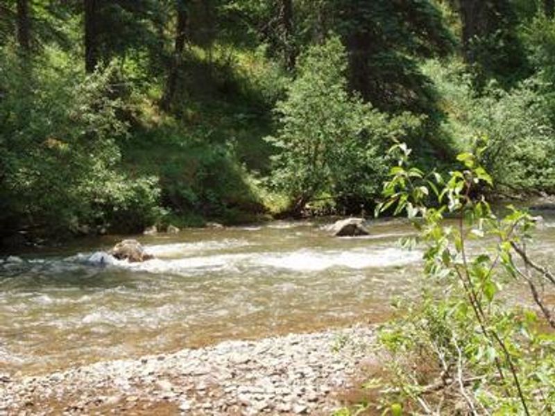
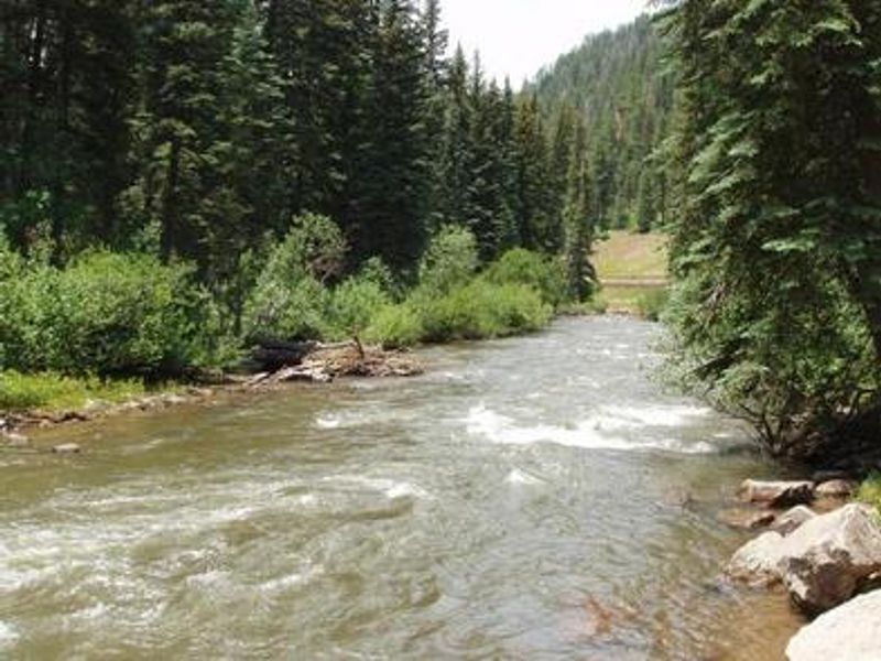
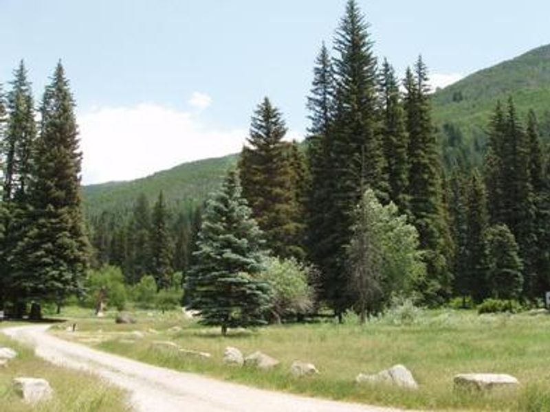
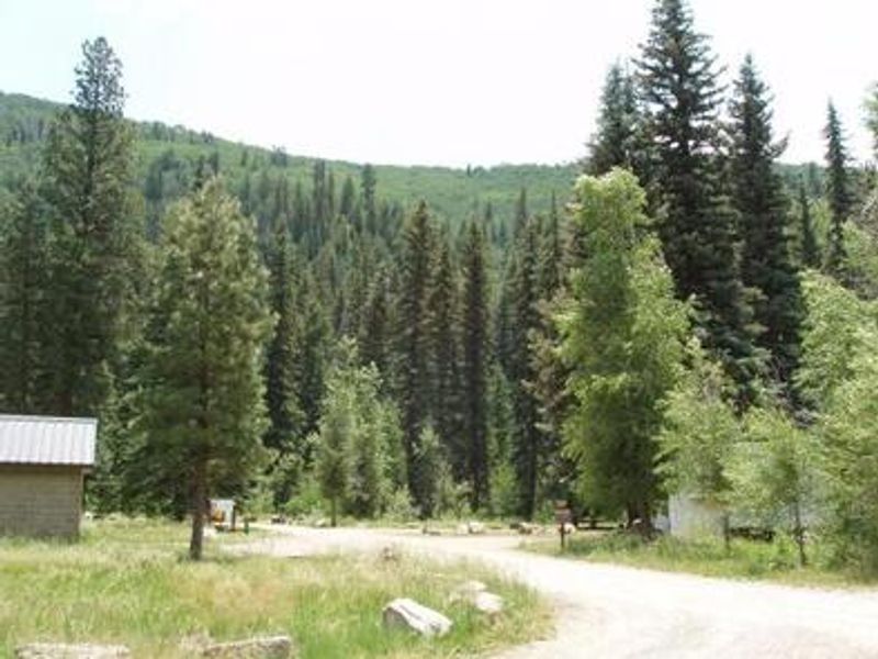
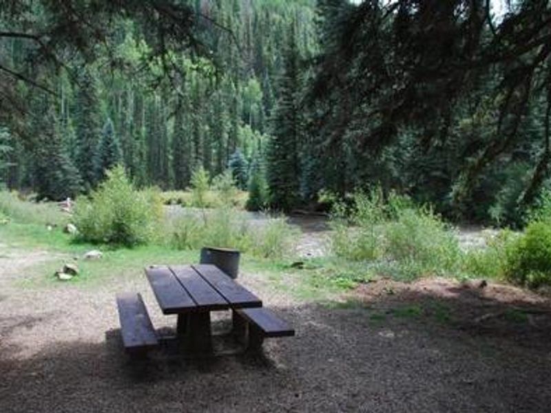
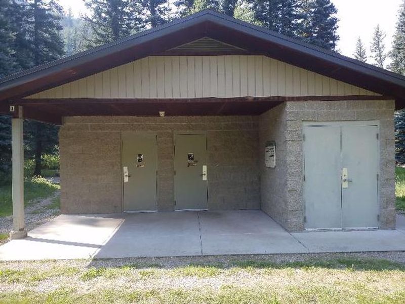
West Dolores Campground is situated along the scenic West Dolores River, which originates in the nearby Lizard Head Wilderness. At an elevation of 7,800 feet, the campground provides a cool mountain retreat shaded by spruce, ponderosa pine, and Douglas fir trees. The 18 campsites spread across 10 acres offer a mix of reservable and first-come, first-served options, with 7 sites featuring electrical hookups and several accommodating RVs up to 35 feet. Anglers can fish the West Dolores River for brown, rainbow, cutthroat, and brook trout right from the campground. Mountain biking is permitted on Forest Roads 532 and 535, and Forest Service Trail 624 begins three miles south. The campground also serves as a base for exploring southwestern Colorado's rich archaeological heritage, including Mesa Verde National Park about 90 minutes to the south. Facilities include potable water, composting toilets, picnic tables, fire grates at each site, and trash pickup. One site near the restroom is wheelchair accessible and has electricity. The campground is located on the West Dolores Road (FR 535), which follows the river for 32 miles before rejoining Highway 145 north of Rico.
Directions
From Dolores, CO: Head north on Highway 145 for approximately 13 miles. Turn left onto West Dolores Road (FR 535) and continue for approximately 7.5 miles. The campground is on your right.
Amenities
| Water | Yes |
| Fires Allowed | Yes |
| Toilets | Yes |
| Dump Station | No |
| Wifi | — |
| Pets Allowed | Yes |
| Showers | No |
| Electric Hookups | Yes |
| Water Hookups | No |
| Sewer Hookups | No |
| Camp Store | — |
| Price | $32 - $43 |
Vehicle
| Max RV Length | 65ft |
| Max Trailer Length | 65ft |
| Big Rig Friendly | No |
| Pull Through Sites | No |
Contact
| Phone | +1 (970) 882-7296 |
Cell Service
| AT&T | None |
| Verizon | None |
| T-Mobile | None |
Availability
Photos

Community Posts
No posts yet. Be the first to share your experience!