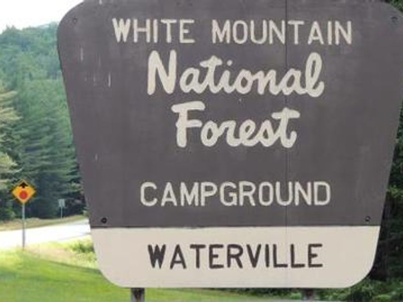
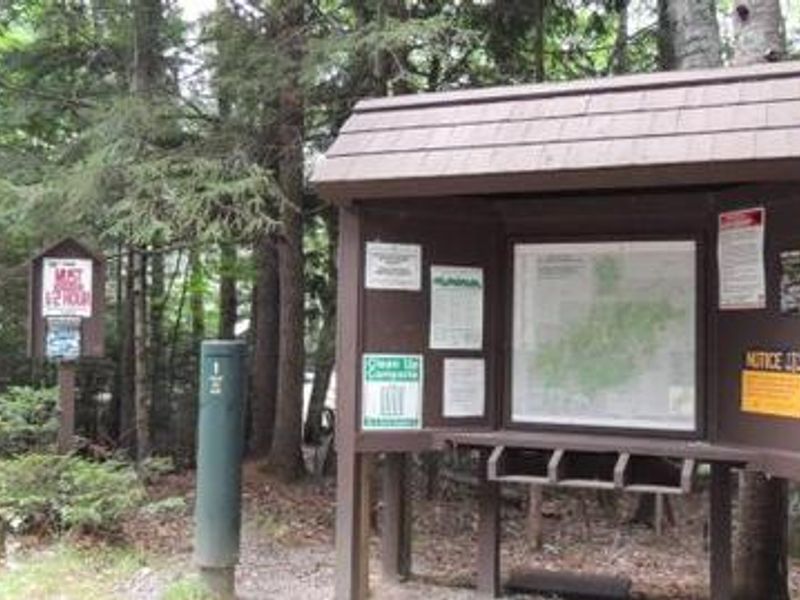
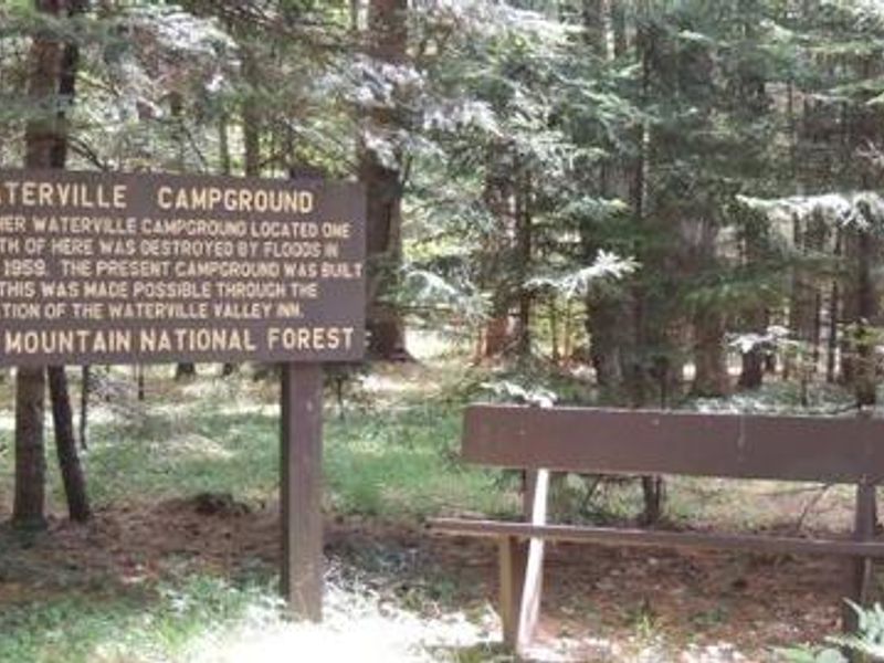
Waterville Campground
Closed for the season. Typically opens mid-May and operates through mid-October. Reservations available via Recreation.gov with a 4-day advance booking requirement.
Discovery Trail Emergency Closure
This Order closes the Forest Discover Trail for public health and safety while the trail is repaired. You are prohibited from being on any part of the 1.5 mile Forest Discovery Trail. See Exhibit A - Map below for the location of the trail.
Rattlesnake Fire – Pemigewasset Ranger District
Rattlesnake Fire Final Update: Crews continue fire line rehab in the area. Buffalo Pit and Rattlesnake parking areas, along with Rattlesnake Trail off Buffalo Road, will be reopened by end today (Aug 26).
Town Hall Road Camping and Fire Restrictions
Camping and campfires are restricted along Slippery Brook Road (Forest Road 17) and East Branch Road (Forest Road 38), which together form a 7‑mile road system collectively known as Town Hall Road. Camping within ¼ mile of these roads is only allowed at designated campsites marked with a tent…
About
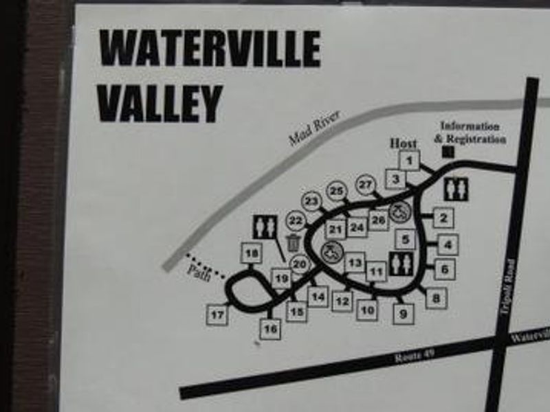
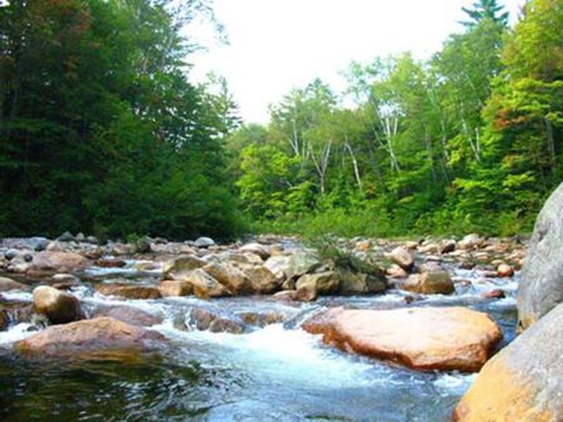
Waterville Campground sits in a dense northern hardwood forest adjacent to the Mad River in Waterville Valley, surrounded by the peaks of the southern White Mountains. The 27 campsites are arranged in a single loop, with a mix of 19 standard nonelectric sites and 8 tent-only sites, all providing full shade coverage. Basic amenities include vault toilets and potable water. The campground serves as an excellent base for hikers exploring the Pemigewasset Wilderness and surrounding trails. The Drakes Brook Trail (4.4 miles) and Sandwich Trail (3.9 miles) form a loop accessible directly from the campground. Anglers can fish for brook trout in the Mad River, while whitewater paddlers can access the Winnipesaukee River's Class I-II section nearby. Waterville Valley Resort is a short drive away, offering restaurants, shops, and additional recreation options including mountain biking and horseback riding. The campground accommodates RVs and trailers up to 30 feet, though sites have no hookups.
Directions
From I-93, take exit 28. Follow NH Route 49 east toward Waterville Valley for 10 miles, then turn left onto Tripoli Road (opposite the ski area sign). The campground is 0.25 miles on the left.
Amenities
| Water | Yes |
| Fires Allowed | Yes |
| Toilets | Yes |
| Dump Station | No |
| Wifi | No |
| Pets Allowed | Yes |
| Showers | No |
| Electric Hookups | — |
| Water Hookups | — |
| Sewer Hookups | — |
| Camp Store | No |
| Price | $24 |
Vehicle
| Max RV Length | 30ft |
| Max Trailer Length | 30ft |
| Big Rig Friendly | No |
| Pull Through Sites | No |
Contact
| Phone | +1 (603) 536-6100 |
Cell Service
| AT&T | Yes |
| Verizon | Yes |
| T-Mobile | Yes |
Availability
Photos
Community Posts
No posts yet. Be the first to share your experience!