Tilly Jane Campground
Currently closed for the season. Cloud Cap Road (FS 3512) typically remains gated until late June or early July due to snow. The campground has a short summer season and is subject to early closure and late opening depending on snowpack conditions.
Alcohol Prohibitions
This Order describes acts that are prohibited upon lands, roads and trails within the National Forest System administered by the Forest Service Pacific Northwest Region in regards to alcoholic beverages.
Aquatic Invasive Species
This Order prohibits 1) possessing, storing, or transporting any aquatic invasive animal species AND 2) prohibits possessing, storing, or transporting any aquatic or riparian invasive plant species - on National Forest System lands in the Pacific Northwest Region as specified in the Order.
Restrictions on Use of Forage and Mulch Products
This Order prohibits unloading, storing, or using any straw, hay, grain, seed, or other forage or mulch products that are not state-certified weed free on the National Forest System lands, roads or trails in any Closure Area as specific in the Order. Some examples of these include hay bales, hay…
About
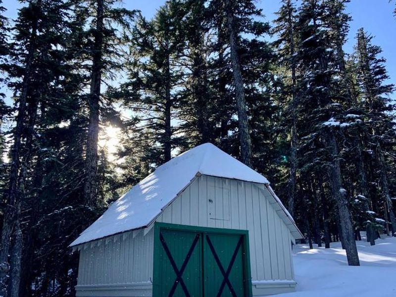
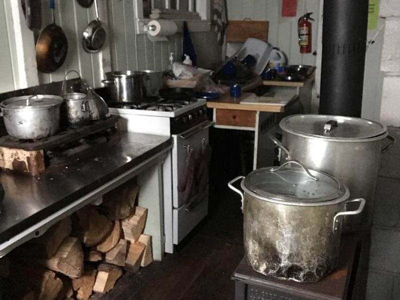
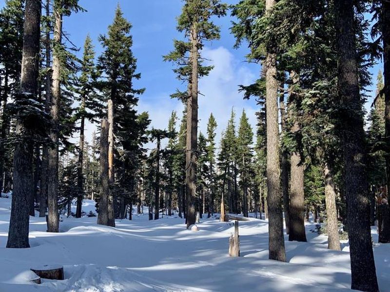
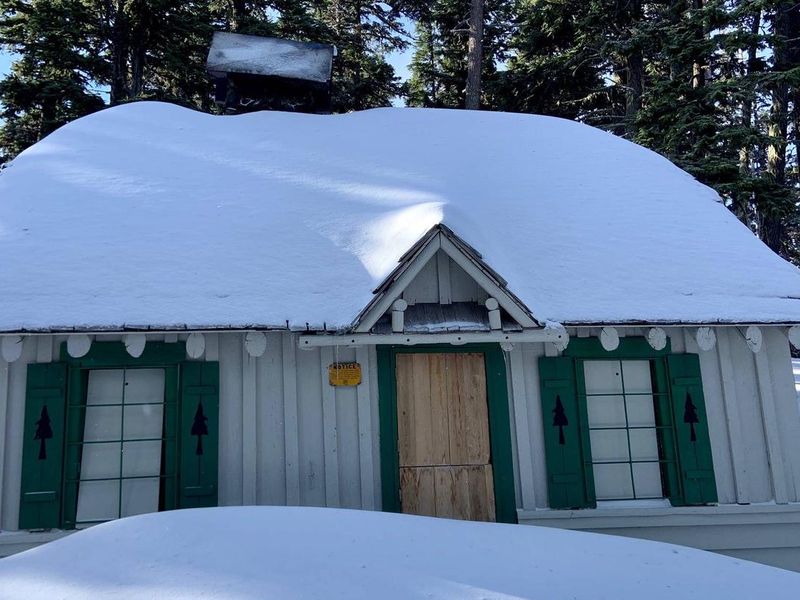
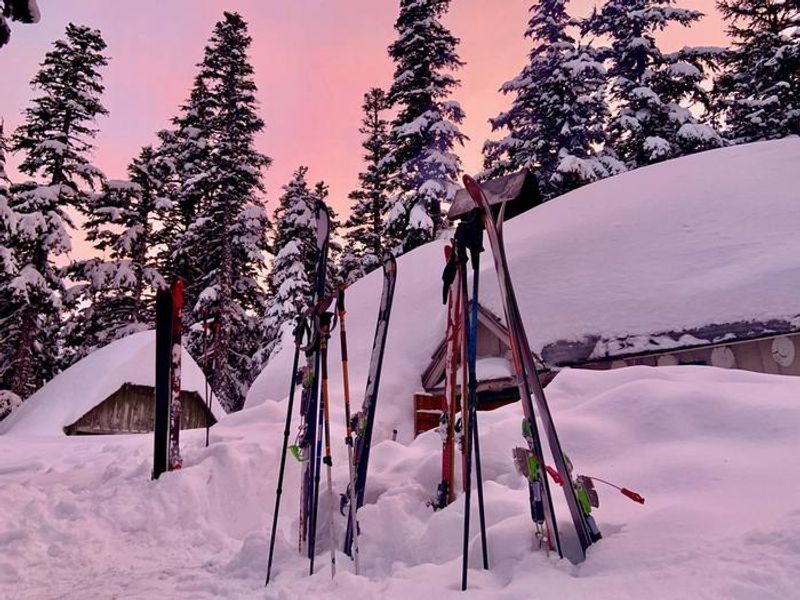
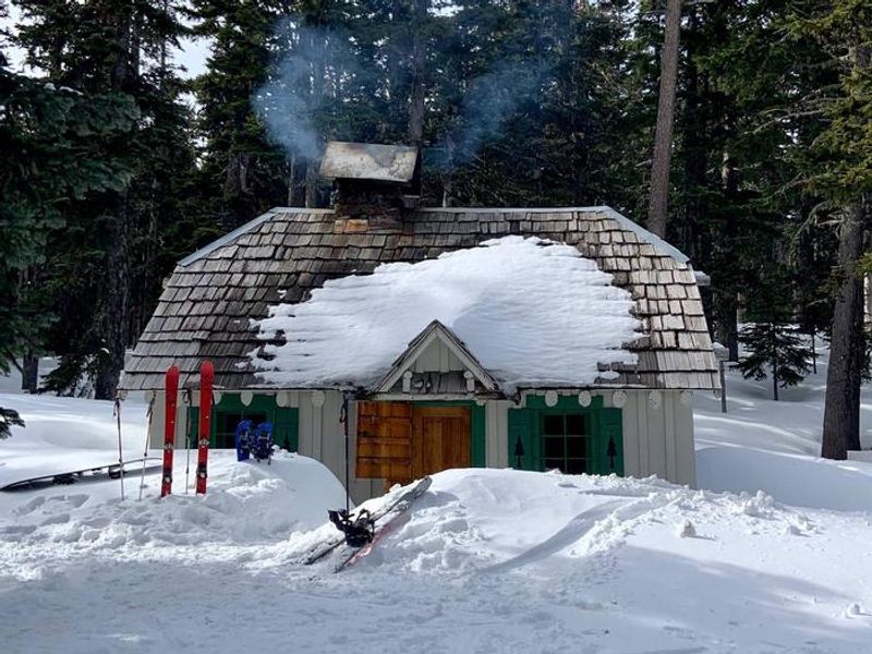
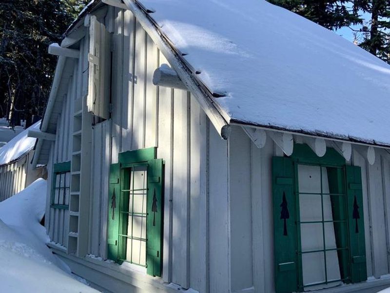
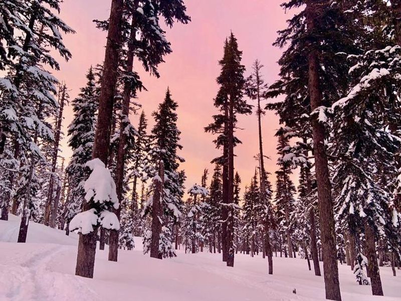
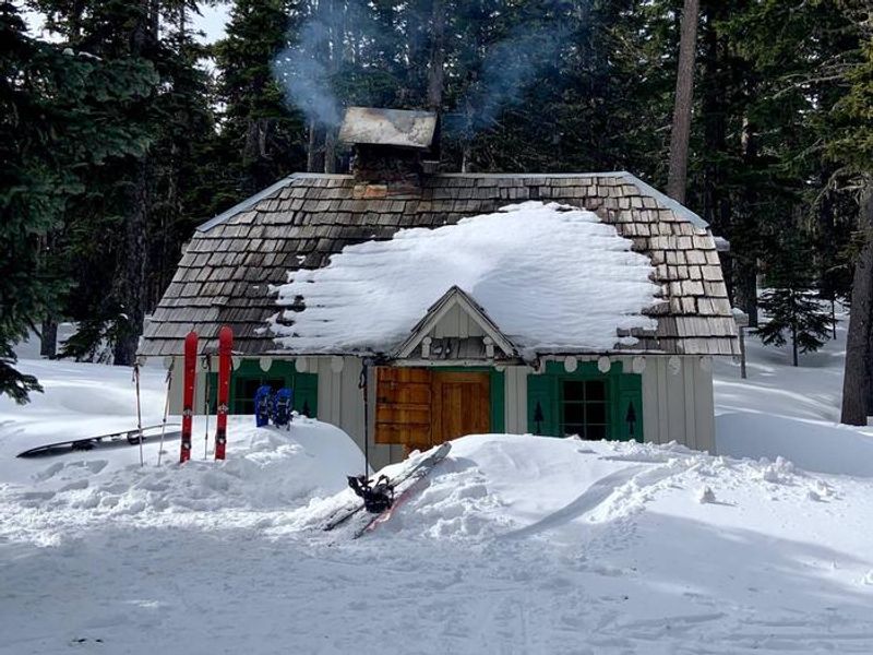
Tilly Jane Campground is a primitive, high-elevation campground located on Tilly Jane Creek on the northeast side of Mount Hood, near the border of Mount Hood Wilderness. The campground sits in a historic area that includes the Cloud Cap/Tilly Jane Historic District, featuring 1930s-era Civilian Conservation Corps structures including the nearby Tilly Jane Guard Station and A-Frame. The campground provides vault toilets but no potable water, so campers must bring their own water supply. Sites are available for $20 per night with an additional $10 fee for extra vehicles. Hiking trails are accessible directly from the campground, including Tilly Jane Trail #600A. The campground is wheelchair accessible. Due to its high elevation, the summer season at Tilly Jane is notably short. Access is via Forest Road 3512 (Cloud Cap Road), which is typically gated at Tilly Jane Sno-Park from late October through late June or early July, depending on snow conditions. Campers should expect the possibility of early closures or late openings based on annual snowpack. The campground is operated by Lost Lake Resort as a concessionaire.
Directions
From Hood River, travel south on Highway 35 approximately 1.5 miles past the forest boundary to Forest Road 3510. Follow 3510 northwest, then southwest, to Forest Road 3512. Follow 3512 west as it winds around several miles to the campground.
Location
Amenities
| Water | No |
| Fires Allowed | — |
| Toilets | Yes |
| Dump Station | No |
| Wifi | No |
| Pets Allowed | — |
| Showers | No |
| Electric Hookups | — |
| Water Hookups | — |
| Sewer Hookups | — |
| Camp Store | No |
| Price | $200 |
Vehicle
| Max RV Length | — |
| Max Trailer Length | — |
| Big Rig Friendly | No |
| Pull Through Sites | No |
Cell Service
| AT&T | None |
| Verizon | Yes |
| T-Mobile | None |
Availability
Photos
Community Posts
No posts yet. Be the first to share your experience!