Swains Lock Hiker-biker Campsite
Open year-round, first-come first-served with no fee. One-night stay limit per trip. Potable water available mid-April through mid-November; water is shut off during winter months. The site is subject to flooding after heavy rains.
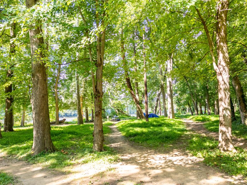
About
Swains Lock Hiker-Biker Campsite is located at Mile 16.6 along the historic Chesapeake and Ohio Canal towpath, just outside Potomac, Maryland. This primitive campsite serves long-distance hikers and bikers traveling the 184.5-mile towpath between Georgetown and Cumberland. The site accommodates five to ten tents and operates on a first-come, first-served basis with no fee and a one-night stay limit per trip. Unlike most hiker-biker campsites along the canal, Swains Lock is uniquely accessible by vehicle from Swains Lock Road, making it convenient for shorter trips. The site also benefits from potable municipal water drawn from the same source as the adjacent Swains Lockhouse, though water is turned off from mid-November through mid-April. Amenities include chemical toilets year-round, picnic tables, and fire pits at each site. The campsite sits in close proximity to the Potomac River and is subject to flooding after heavy rains. Campers must pack out all trash as this is a trash-free park. Fires are restricted to provided fire rings and grills or portable grills positioned off the ground. Firewood may be collected from dead material on the ground but cannot be removed from the campground. Quiet hours are observed from 10 PM to 6 AM.
Directions
From the Capital Beltway (I-495), take River Road (MD-190) west toward Potomac. Turn left onto Swains Lock Road and follow it to the parking area at the end. The campsite is located along the towpath at Mile 16.6.
Nearby Campgrounds
Amenities
| Water | Yes |
| Fires Allowed | Yes |
| Toilets | Yes |
| Dump Station | No |
| Wifi | — |
| Pets Allowed | Yes |
| Showers | No |
| Electric Hookups | — |
| Water Hookups | — |
| Sewer Hookups | — |
| Camp Store | No |
| Price | $0 |
Vehicle
| Max RV Length | — |
| Max Trailer Length | — |
| Big Rig Friendly | No |
| Pull Through Sites | No |
Contact
| CHOH_information@nps.gov | |
| Phone | +1 (301) 739-4200 |
Cell Service
| AT&T | Yes |
| Verizon | Yes |
| T-Mobile | None |
Photos
Community Posts
No posts yet. Be the first to share your experience!