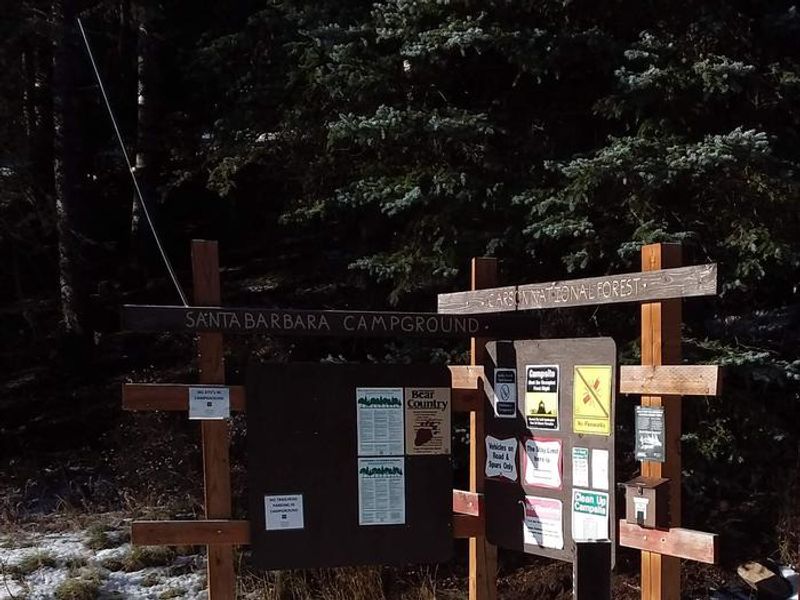
Santa Barbara Campground
Open for the season on a first-come, first-served basis. Opening and closing dates are weather dependent. Check for active alerts regarding water system availability at some recreation sites.
Cannabis Possession Prohibited
Order 03-00-00-21-002 prohibits possessing, storing, or transporting a cannabis plant, any part of a cannabis plant, or any substance derived from a cannabis plant within the Southwestern Region National Forests in the State of New Mexico and the National Grasslands in the states of Texas and…
Offices Closed July 3
All Carson National Offices are closed on federal holidays, including in observance of Independence Day on July 3 and the Fourth of July weekend. Some services are available online:Firewood PermitsCampground ReservationsCurrent Fire Restrictions
Closed: Supervisor's Office (Taos) June 30 and July 1
The Supervisor's Office in Taos is closed to public services the week of June 29, 2026, due to unplanned staffing issues. We apologize for the inconvenience.Some services are available online:Firewood PermitsCampground ReservationsCurrent Fire Restrictions
About
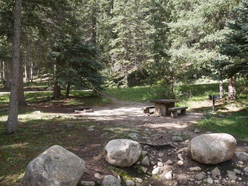
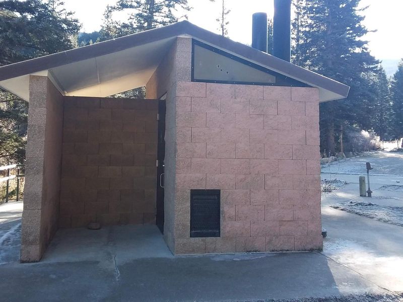
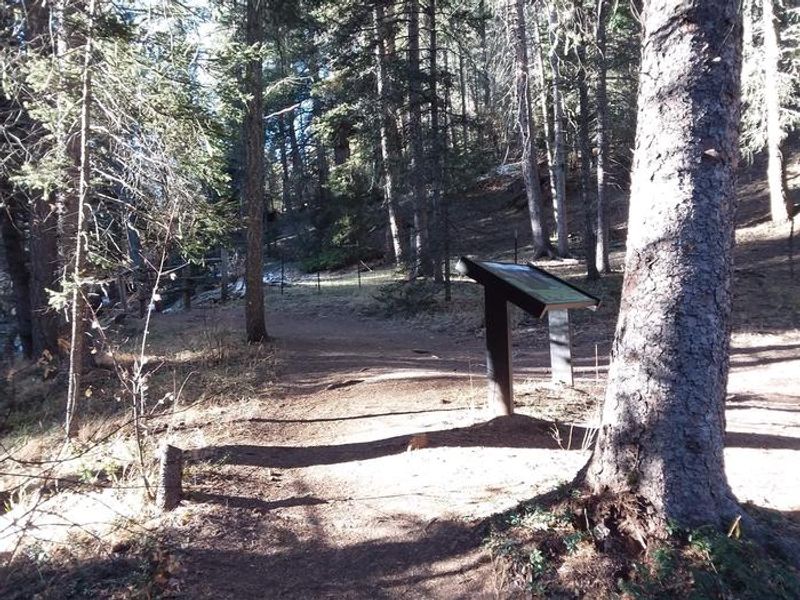
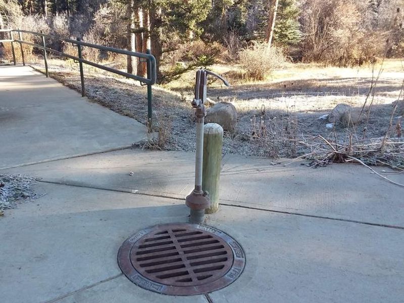
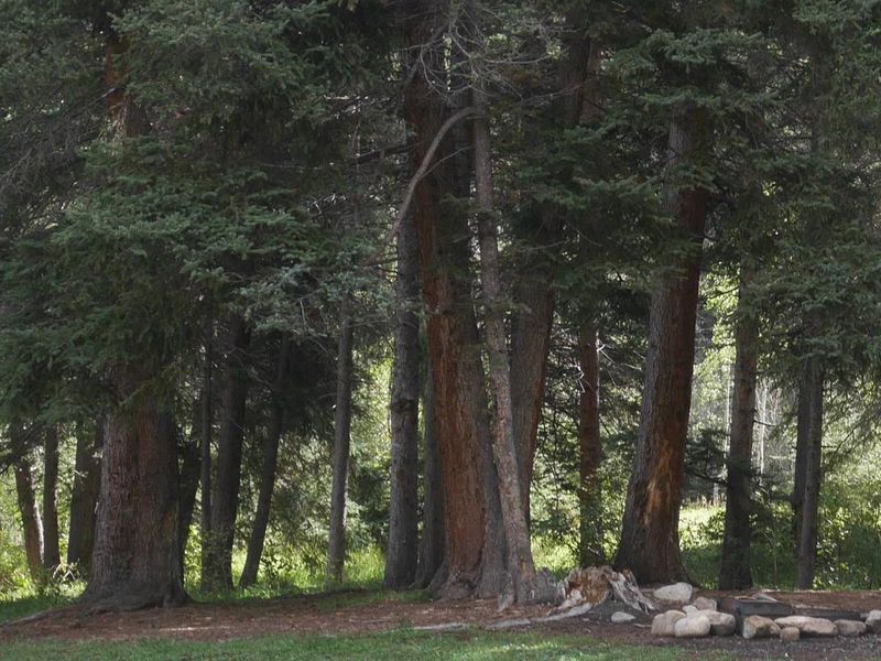
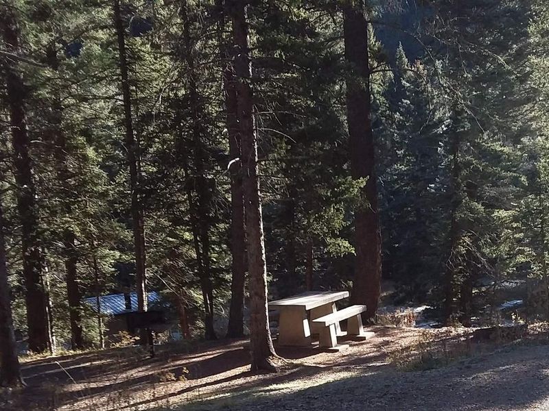
Santa Barbara Campground occupies a prime location at 8,900 feet in Carson National Forest, nestled in a mixed conifer forest of spruce, fir, and aspen at the gateway to Pecos Wilderness. The campground borders Rio Santa Barbara, designated as Red Chile Water for native Rio Grande cutthroat trout conservation, making it an excellent fishing destination. The campground offers 15 single sites, 2 double sites, 1 triple site, and 2 quad sites, all equipped with picnic tables and fire rings. Three vault toilets and potable water spigots serve the area. This is the primary staging area for wilderness access to Jicarita Peak and North Truchas Peak via the Middle Fork Santa Barbara, Jicarita Creek, and Indian Creek trails. Wilderness permits are not required for day hiking or backpacking in the Pecos Wilderness. Horseback riders can use trailer parking in the day-use area, though horses are not permitted within the campground proper. The campground sees heavy use on holiday weekends and throughout July, with lighter traffic most other times during the open season. Bears frequent the area, so proper food storage is required.
Directions
From the junction with State Road 75, follow SR 73 for 1.4 miles to Santa Barbara Road. Turn left onto Santa Barbara Road and travel 6.2 miles to the campground. Santa Barbara Road becomes Forest System Road 116 when the pavement ends.
Location
Amenities
| Water | Yes |
| Fires Allowed | Yes |
| Toilets | Yes |
| Dump Station | No |
| Wifi | — |
| Pets Allowed | Yes |
| Showers | No |
| Electric Hookups | — |
| Water Hookups | — |
| Sewer Hookups | — |
| Camp Store | — |
| Price | $30 - $80 |
Vehicle
| Max RV Length | 65ft |
| Max Trailer Length | 40ft |
| Big Rig Friendly | No |
| Pull Through Sites | No |
Contact
| Phone | +1 (575) 587-2255 |
Cell Service
| AT&T | None |
| Verizon | None |
| T-Mobile | None |
Availability
Photos
Community Posts
No posts yet. Be the first to share your experience!