Plaskett Creek Campground
Open for camping. Currently operating with portable toilets only and non-potable water. Campers must bring drinking water. No cell service in the area. Highway 1 is temporarily closed from the Monterey area; access via San Luis Obispo traveling 65 miles north on Highway 1.
Beach Hazards Statement issued October 10 at 2:47PM PDT until October 12 at 10:00PM PDT by NWS San Francisco CA
* WHAT...For the Coastal Flood Advisory, Up to 1.4 ft of inundation above ground level is possible in low-lying areas near shorelines and tidal waterways. For the Beach Hazards Statement, increased risk of rip currents and sneaker waves expected with breaking waves up to 16 feet. * WHERE...San Francisco, Northern Monterey Bay and Southern Monterey Bay and Big Sur Coast Counties. * WHEN...For the Coastal Flood Advisory, until 3 PM PDT Tuesday. For the Beach Hazards Statement, remains in effect through Monday evening. * IMPACTS...Flooding of lots, parks, and roads with only isolated road closures expected. High tides will result in flooding along coastal trails, cut off access to some low- lying beaches and coastal areas, and bring water and waves farther up the beach than typical. Dangerous conditions are forecast along the shoreline. Hazards include sneaker waves, strong rip currents, and large breaking waves. * ADDITIONAL DETAILS...At the San Francisco tidal gauge, high tide is expected to be 1.4 ft above normal (7.3 ft MLLW) at 12:18 PM Sunday 10/11, 1.2 ft above normal (7.1 ft MLLW) at 12:46 PM Monday 10/12, and 1.1 ft above normal (7.0 ft MLLW) at 1:14 PM Tuesday 10/13. These predictions include up to 1.2 ft of surge that will enhance the astronomical tide and flooding threat. High tide varies up to 90 minutes earlier or later along the Pacific Coast and through the San Francisco Bay, respectively.
Coastal Flood Advisory issued October 10 at 2:47PM PDT until October 13 at 3:00PM PDT by NWS San Francisco CA
* WHAT...For the Coastal Flood Advisory, Up to 1.4 ft of inundation above ground level is possible in low-lying areas near shorelines and tidal waterways. For the Beach Hazards Statement, increased risk of rip currents and sneaker waves expected with breaking waves up to 16 feet. * WHERE...San Francisco, Northern Monterey Bay and Southern Monterey Bay and Big Sur Coast Counties. * WHEN...For the Coastal Flood Advisory, until 3 PM PDT Tuesday. For the Beach Hazards Statement, remains in effect through Monday evening. * IMPACTS...Flooding of lots, parks, and roads with only isolated road closures expected. High tides will result in flooding along coastal trails, cut off access to some low- lying beaches and coastal areas, and bring water and waves farther up the beach than typical. Dangerous conditions are forecast along the shoreline. Hazards include sneaker waves, strong rip currents, and large breaking waves. * ADDITIONAL DETAILS...At the San Francisco tidal gauge, high tide is expected to be 1.4 ft above normal (7.3 ft MLLW) at 12:18 PM Sunday 10/11, 1.2 ft above normal (7.1 ft MLLW) at 12:46 PM Monday 10/12, and 1.1 ft above normal (7.0 ft MLLW) at 1:14 PM Tuesday 10/13. These predictions include up to 1.2 ft of surge that will enhance the astronomical tide and flooding threat. High tide varies up to 90 minutes earlier or later along the Pacific Coast and through the San Francisco Bay, respectively.
From Recreation.gov
**No flushing toilets available** – Portable toilets provided. **NON-POTABLE WATER - **Please plan accordingly.
About
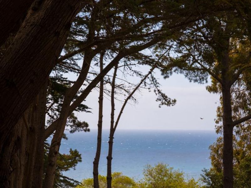
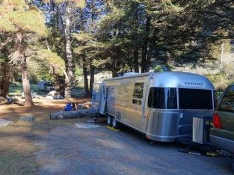
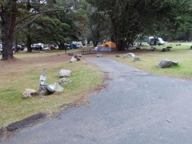
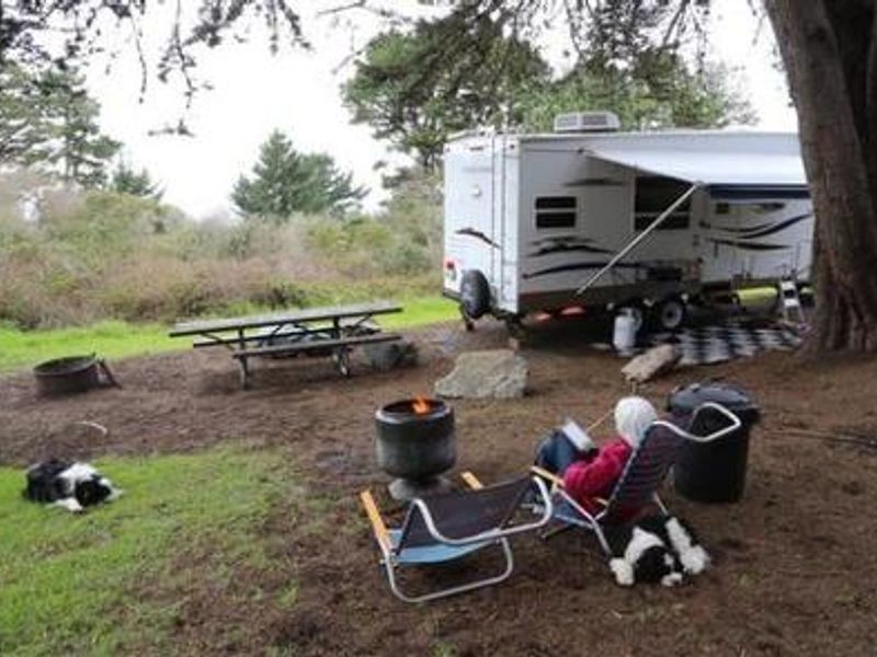
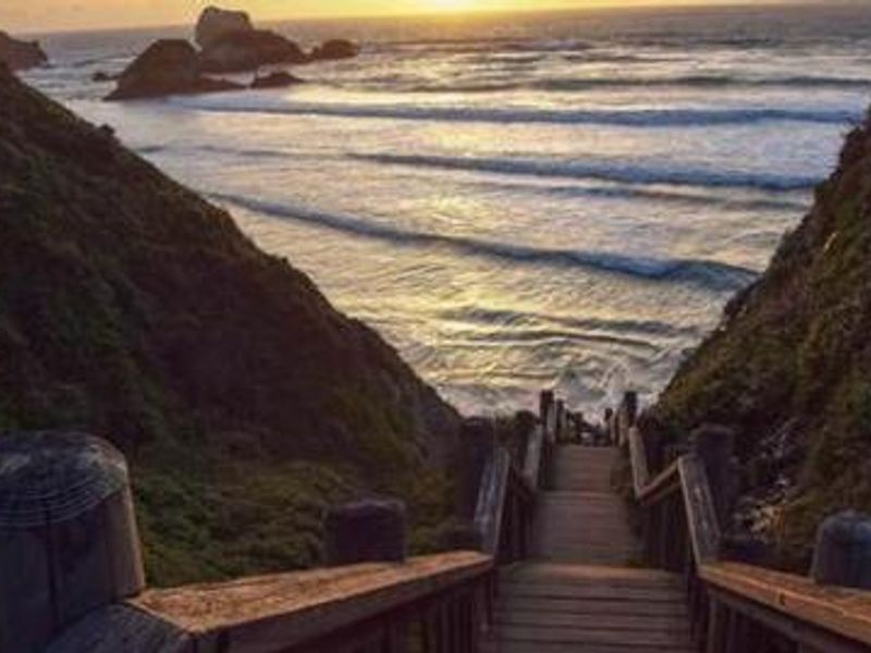
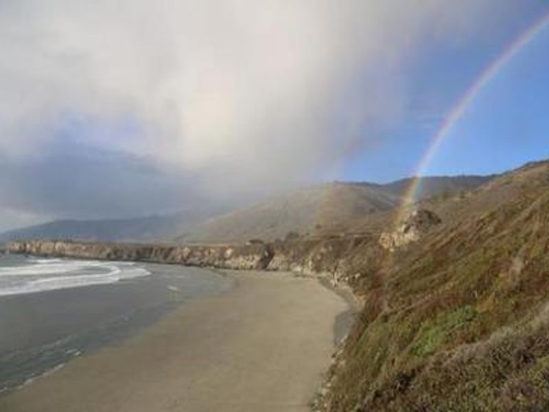
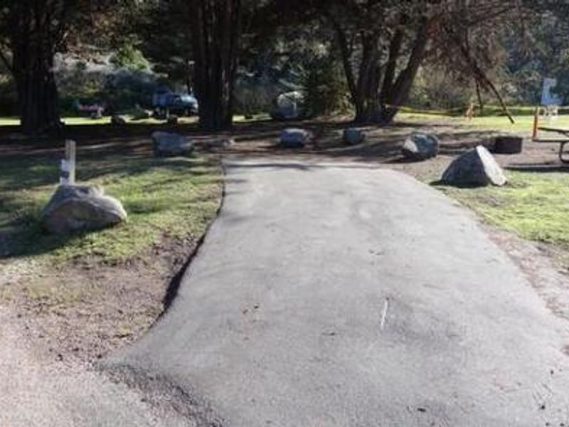
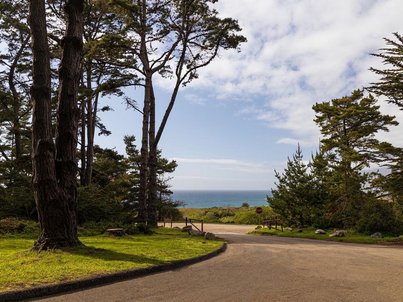
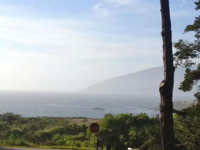
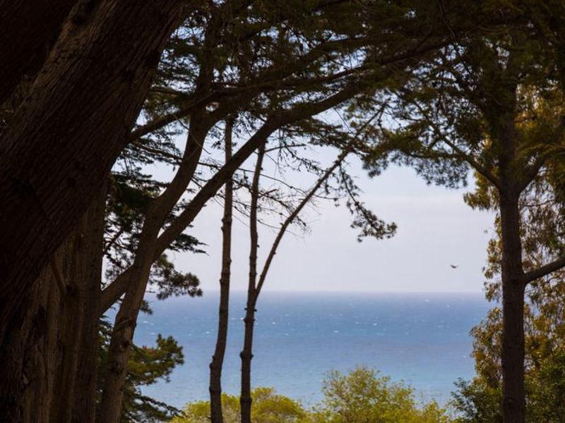
Plaskett Creek Campground offers one of the most scenic coastal camping experiences in central California, located within Los Padres National Forest along the Big Sur coast. The campground sits at approximately 200 feet elevation under a scattered canopy of mature Monterey pine and cypress trees, with the sound of Pacific Ocean surf audible from many sites. Sand Dollar Beach, the largest sandy beach in the Big Sur area, is just a short walk south of the campground. The campground features 44 sites total, with 42 available through Recreation.gov reservations and 2 first-come-first-served. Each site includes a picnic table and campfire ring with grill. The park-like setting with grassy sites accommodates both tent and RV camping, though no utility hookups are available. Sites can accommodate 6-8 people and up to 2 vehicles. Recreation opportunities abound, including surfing, fishing, swimming, and sunbathing at Sand Dollar Beach. Trails along the beach lead to bluffs overlooking scenic coves. Nearby hiking, mountain biking, and horseback riding trails offer views of waterfalls, redwood groves, and mountain meadows. Wildlife in the area includes fox, bobcat, deer, and raccoon.
Directions
From San Luis Obispo, travel north on Highway 1 for approximately 65 miles to the campground. Alternatively, 35 miles north of San Simeon State Park on Highway 1, or 60 miles south of Carmel. Note: Highway 1 is temporarily closed from the Monterey direction.
Amenities
| Water | No |
| Fires Allowed | Yes |
| Toilets | Yes |
| Dump Station | — |
| Wifi | No |
| Pets Allowed | Yes |
| Showers | No |
| Electric Hookups | — |
| Water Hookups | — |
| Sewer Hookups | — |
| Camp Store | — |
| Price | $45 - $150 |
Vehicle
| Max RV Length | 50ft |
| Max Trailer Length | 50ft |
| Big Rig Friendly | — |
| Pull Through Sites | No |
Contact
| customerservice@pmcparks.com | |
| Phone | +1 (831) 385-5434 |
Cell Service
| AT&T | None |
| Verizon | Yes |
| T-Mobile | None |
Availability
Photos
Community Posts
No posts yet. Be the first to share your experience!