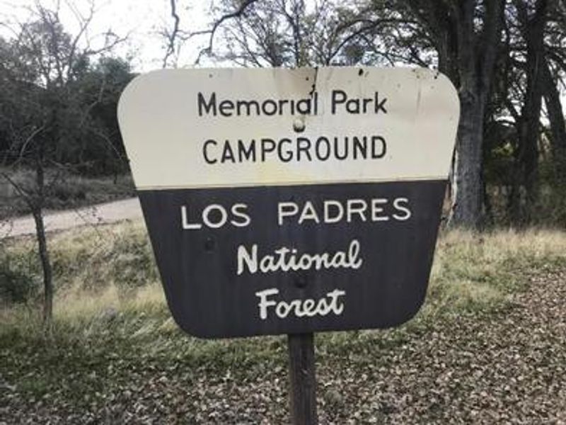
Memorial Campground
Open year-round. Seven of eight sites are reservable through Recreation.gov; one site is first-come, first-served. The campground closes temporarily during wet weather conditions. Access is only via Highway 101 as Highway 1/Nacimiento Road is closed.
Flash Flood Warning issued November 18 at 2:30PM PST until November 18 at 5:30PM PST by NWS San Francisco CA
FFWMTR The National Weather Service in San Francisco has issued a * Flash Flood Warning for... The Timber burn area... * Until 530 PM PST. * At 230 PM PST, Doppler radar and automated rain gauges indicated heavy rain falling over the Timber Burn Area. Between 1 and 2 inches of rain have fallen. The expected rainfall rate is 0.5 to 0.75 inches in 1 hour. Additional rainfall amounts of 1 to 3 inches are possible in the warned area. Flash flooding is ongoing or expected to begin shortly. Excessive rainfall over the burn scar will result in debris flow moving through the Drainages within Lafler, Castro and Graves Canyons, as well as drainages between Grimes and Castro Canyons. The debris flow can consist of rock, mud, vegetation and other loose materials. HAZARD...Life threatening flash flooding. Heavy rain producing flash flooding in and around the Timber Burn Area. SOURCE...Radar and automated gauges. IMPACT...Life threatening flash flooding of areas in and around the Timber Burn Area. * Some locations that will experience flash flooding include... portions of CA Highway 1 and the Los Padres National Forecast from Andrew Molera State Park to Partington Ridge including the town of Big Sur.
Flash Flood Warning issued November 18 at 2:30PM PST until November 18 at 5:30PM PST by NWS San Francisco CA
FFWMTR The National Weather Service in San Francisco has issued a * Flash Flood Warning for... The Plaskett burn area... * Until 530 PM PST. * At 230 PM PST, Doppler radar and automated rain gauges indicated heavy rain falling over the Plaskett Burn Area. Between 1.5 and 2.5 inches of rain have fallen. The expected rainfall rate is 0.5 to 0.75 inches in 1 hour. Additional rainfall amounts of 1 to 3 inches are possible in the warned area. Flash flooding is ongoing or expected to begin shortly. Excessive rainfall over the burn scar will result in debris flow moving through the Alder, Plaskett, and Prewitt Creeks. The debris flow can consist of rock, mud, vegetation and other loose materials. HAZARD...Life threatening flash flooding. Heavy rain producing flash flooding in and around the Plaskett Burn Area. SOURCE...Radar and automated gauges. IMPACT...Life threatening flash flooding of areas in and around the Plaskett Burn Area. * Some locations that will experience flash flooding include... areas near CA Highway 1 mile marker 17 to mile marker 11 including Los Burros Road.
Wind Advisory issued November 18 at 1:20PM PST until November 18 at 4:00PM PST by NWS San Francisco CA
* WHAT...South winds 20 to 30 mph with gusts up to 55 mph expected. * WHERE...San Francisco and San Francisco Bay Shoreline, The Central Coast, The Santa Clara Valley and Eastern Hills, and The Santa Cruz Mountains. * WHEN...Until 4 PM PST this afternoon. * IMPACTS...Gusty winds will blow around unsecured objects. Tree limbs could be blown down and a few power outages may result. * ADDITIONAL DETAILS...Wind gusts up to 70 mph will be possible in the higher terrain.
About
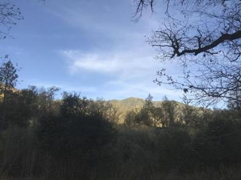
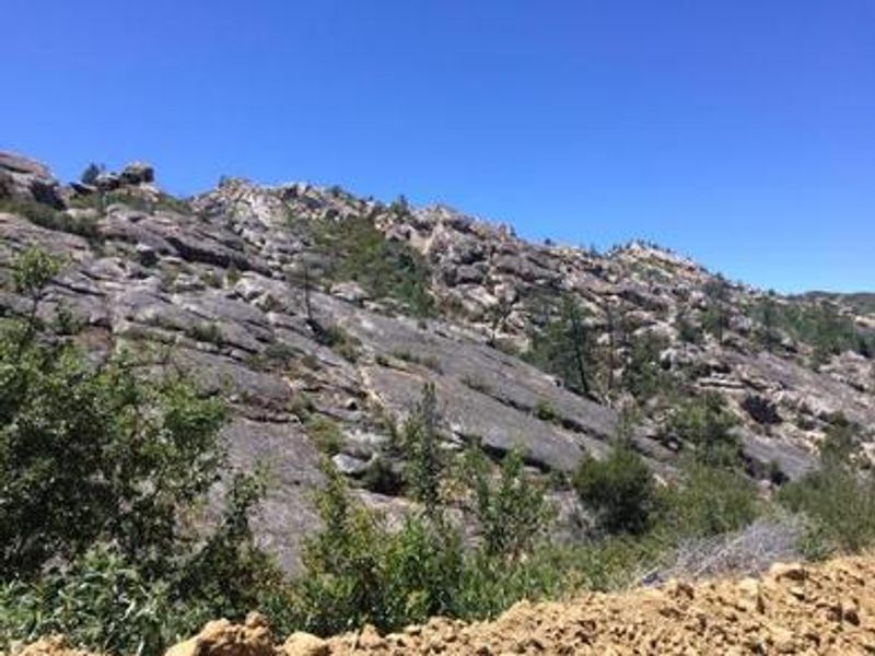
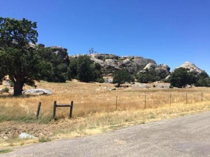
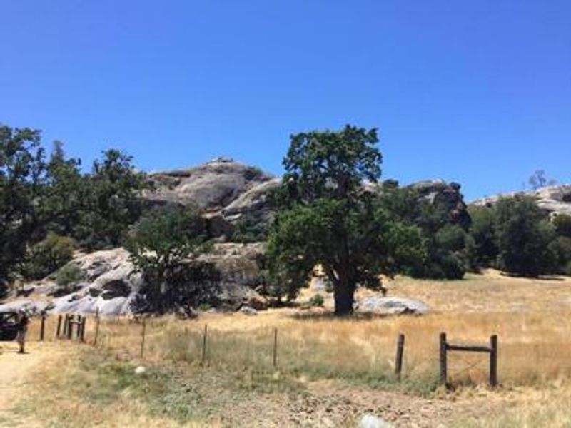
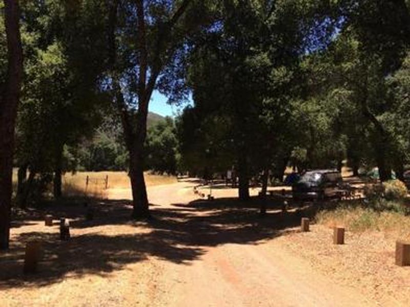
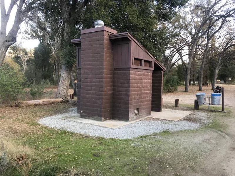
Escape to Memorial Campground, a scenic and remote destination in the Santa Lucia Mountains of Los Padres National Forest. This primitive campground offers 8 sites nestled among ponderosa pine, oak, madrone, and sycamore trees, with a thriving trout stream running alongside and unique sandstone rock formations perfect for exploring. The campground provides basic amenities including vault toilets, picnic tables, and designated fire rings at each site. However, no potable water is available so campers must bring their own supply. Cell service is nonexistent and emergency help is miles away, making this a true backcountry experience. Trailheads located right in the campground provide access to hiking, biking, and horseback riding opportunities, with the historic San Antonio Mission just a 15-minute drive away. Access is only available via Highway 101 through Jolon, as the Highway 1/Nacimiento Road approach remains closed. The paved road turns to dirt about three-quarters of the way to the campground. Seven sites are reservable through Recreation.gov while one site remains first-come, first-served year-round.
Directions
Accessible ONLY from Highway 101. From King City, take Jolon Road (County Road G-14); from Bradley, take Jolon Road (County Road G-18); or from Paso Robles via County Road G-14. Travel to the town of Jolon, continue west along Mission Road about 5 miles, then north on Del Venturi Road for about 12-15 miles. The paved road turns to dirt approximately three-quarters of the way there.
Amenities
| Water | No |
| Fires Allowed | Yes |
| Toilets | Yes |
| Dump Station | No |
| Wifi | No |
| Pets Allowed | Yes |
| Showers | No |
| Electric Hookups | — |
| Water Hookups | — |
| Sewer Hookups | — |
| Camp Store | — |
| Price | $30 |
Vehicle
| Max RV Length | 80ft |
| Max Trailer Length | 80ft |
| Big Rig Friendly | — |
| Pull Through Sites | No |
Contact
| Phone | +1 (805) 434-1996 |
Cell Service
| AT&T | None |
| Verizon | None |
| T-Mobile | None |
Availability
Photos
Community Posts
No posts yet. Be the first to share your experience!