Peaceful Valley
Open with a mix of reservable and first-come, first-served sites. Sites 1-7 and 9 are reservable through Recreation.gov; sites 8 and 10-17 are first-come, first-served. The campground typically fills by Friday morning on weekends. 14-day stay limit.
Air Quality Alert issued July 20 at 4:10PM MDT by NWS Denver CO
The Colorado Department of Public Health and Environment has issued the following... WHAT...Ozone Action Day Alert. WHERE...Douglas, Jefferson, Denver, western Arapahoe, western Adams, Broomfield, Boulder, Larimer, and Weld Counties WHEN...400 PM Monday July 20 to 400 PM Tuesday July 21 IMPACTS...Ozone Action Day Alert is now in effect for the Front Range Urban Corridor. Hot and stagnant weather conditions will result in ozone concentrations reaching the Unhealthy for Sensitive Groups category both Monday and Tuesday during the afternoon and evening hours. For Colorado air quality conditions, forecasts, and advisories, visit: https://www.colorado.gov/airquality/colorado_summary.aspx If possible, please help us reduce ozone pollution by limiting driving gas and diesel-powered vehicles until at least 4 p.m. Tuesday, July 21, 2026. Colorado is also addressing ozone pollution through state policies. For more information about health impacts and how ozone pollution forms in Colorado, visit: https://cdphe.colorado.gov/ozone- pollution-and-your-health HEALTH INFORMATION...Increasing likelihood of respiratory symptoms and breathing discomfort in active children and adults and people with lung disease, such as asthma. Active children and adults, and people with lung disease, such as asthma, should reduce prolonged or heavy outdoor exertion.
Wheeled Vehicles in Wilderness
This order describes the prohibition of wheeled vehicles in all National Forest Wilderness Areas of the Rocky Mountain Region and any exceptions thereof.
Weed Free Forage Products
The purpose of this Order is to prevent the introduction or spread of noxious weeds.
About
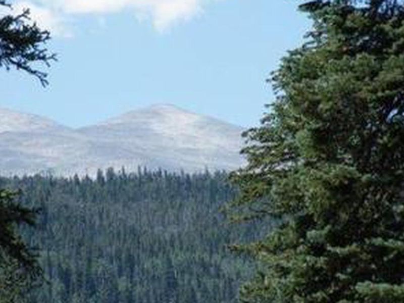
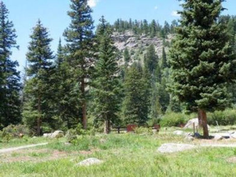
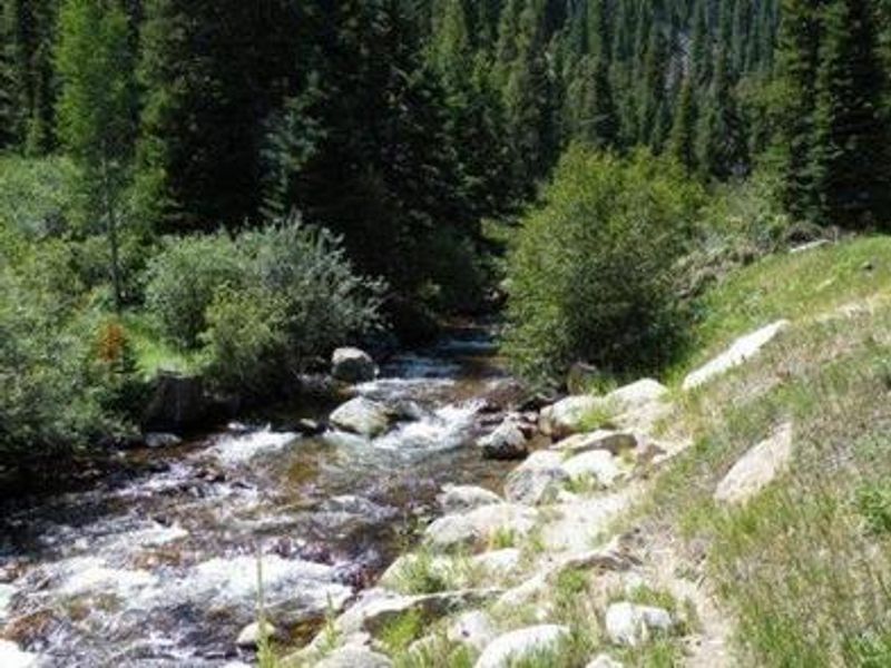
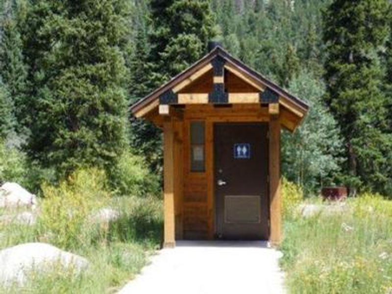
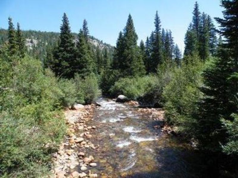
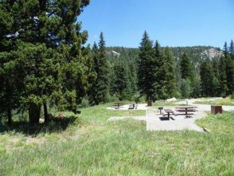
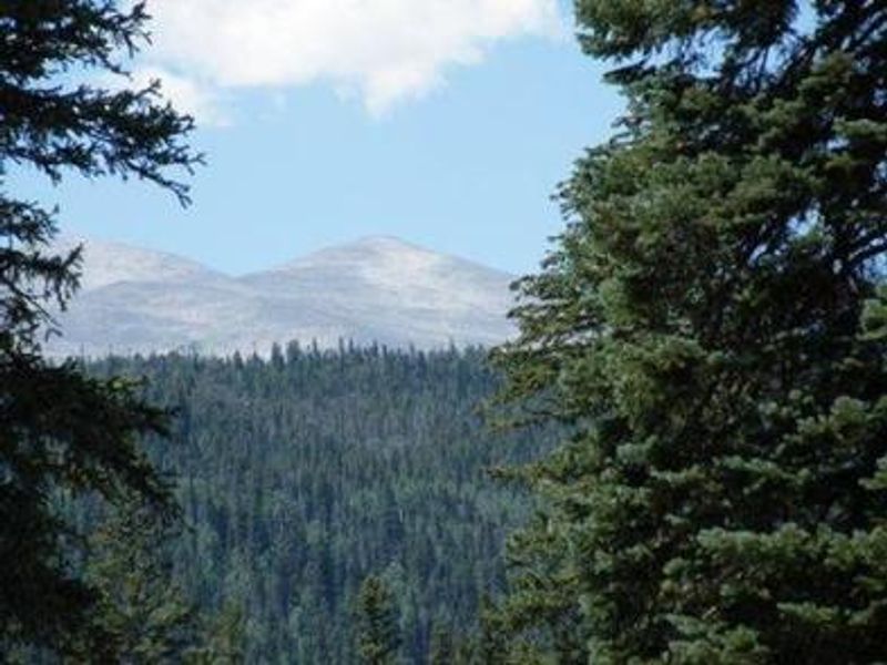
Peaceful Valley Campground is nestled in a scenic glacial valley along the banks of Middle Saint Vrain Creek at 8,500 feet elevation in northern Colorado's Roosevelt National Forest. The 17 campsites are spread through a mixed conifer and aspen forest, with nine sites accommodating RVs, campers, and trailers up to 45 feet, and eight sites better suited for tent camping. Each site includes a picnic table, fire ring with grill, and bear locker for food storage. The campground provides vault toilets, potable water from a hand pump, and trash service. There are no showers, dump stations, or utility hookups. Sites 1-7 and 9 are reservable through Recreation.gov, while sites 8 and 10-17 operate first-come, first-served. The campground fills quickly on weekends, so arrive early Friday or make reservations in advance. Middle Saint Vrain Creek offers quality fly fishing for rainbow, brown, and cutthroat trout. The first five miles of Buchanan Pass Trail are open to mountain biking, and Sourdough Trail provides additional hiking opportunities. Wildlife sightings of moose and beaver are common. Rocky Mountain National Park's main entrance is 24 miles north in Estes Park.
Directions
From Ward, Colorado, drive north on Colorado Highway 72 approximately 6.5 miles. Watch for signs for Peaceful Valley and Camp Dick campgrounds. Turn west onto Middle Saint Vrain Road (County Road 92 / NFSR 114) and proceed approximately 1/4 mile to the campground.
Amenities
| Water | Yes |
| Fires Allowed | Yes |
| Toilets | Yes |
| Dump Station | No |
| Wifi | No |
| Pets Allowed | Yes |
| Showers | No |
| Electric Hookups | — |
| Water Hookups | — |
| Sewer Hookups | — |
| Camp Store | No |
| Price | $18.75 - $37.5 |
Vehicle
| Max RV Length | 45ft |
| Max Trailer Length | 45ft |
| Big Rig Friendly | — |
| Pull Through Sites | No |
Contact
| Phone | +1 (303) 541-2500 |
Cell Service
| AT&T | None |
| Verizon | Yes |
| T-Mobile | None |
Availability
Photos
Community Posts
No posts yet. Be the first to share your experience!