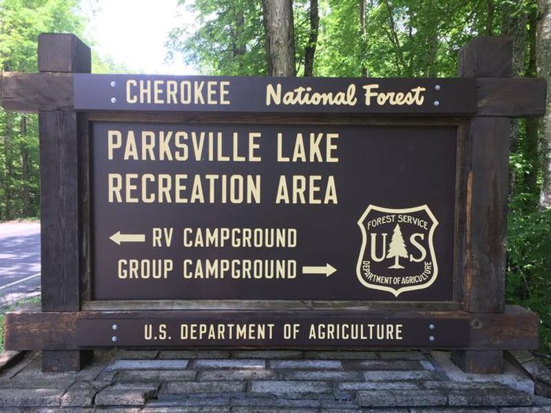
Parksville Lake Rv Campground
Open for the season. Sites are reservable via Recreation.gov with some first-come, first-served availability. Maximum 5 people and 2 vehicles per site. Bear-proof food storage required.
McFarland Road work Phase 1 (access interupted)
A repair project is underway on NFSR 23 also known as McFarland Road. Phase 1 is from Kimsey Mtn Hwy to Route 236. The route will be closed to motorized vehicle traffic during Phase 1.
Ocoee River Flooding Damage - Nov 5
Extreme flooding was observed in the Ocoee River watershed Nov. 5. on the Ocoee Ranger District. All Forest Service access to the Ocoee River and Parksville Lake is now suspended due to flood related contamination and debris. Thunder Rock Campground is closed due to flood damage.
Campsite limitations
Specific Camping prohibitions1. Camping for more than 14 days in developed and dispersed areas. Camping in anylocation is limited to 14 consecutive days. On the 14th consecutive day, the camper andparty must leave that area/campground for a minimum of seven days before returning foranother stay. If…
About
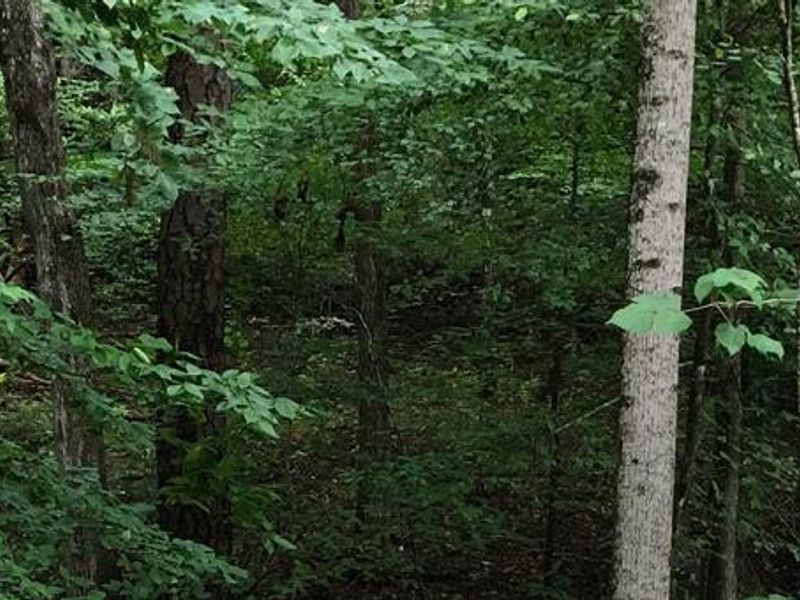
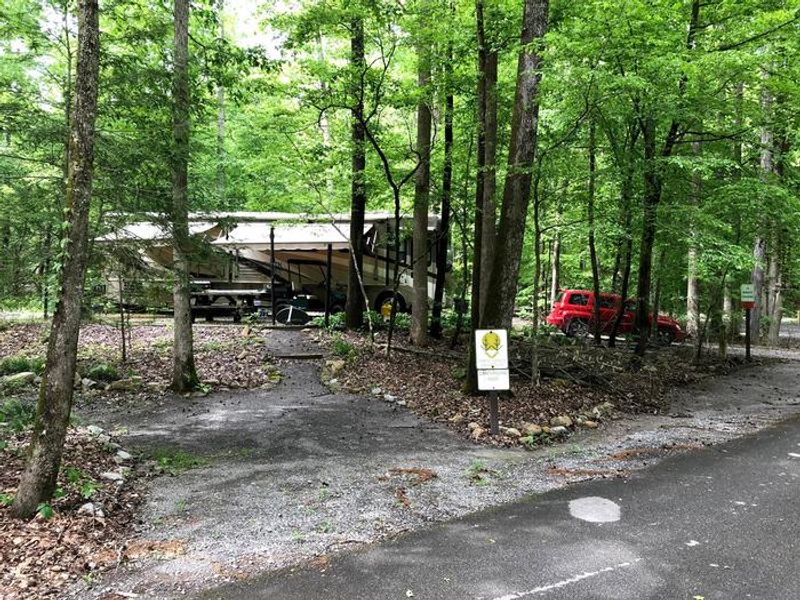
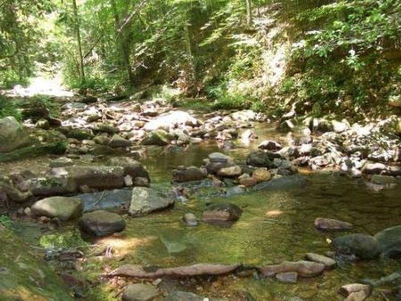
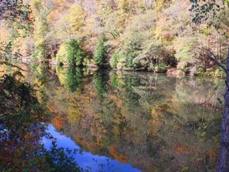
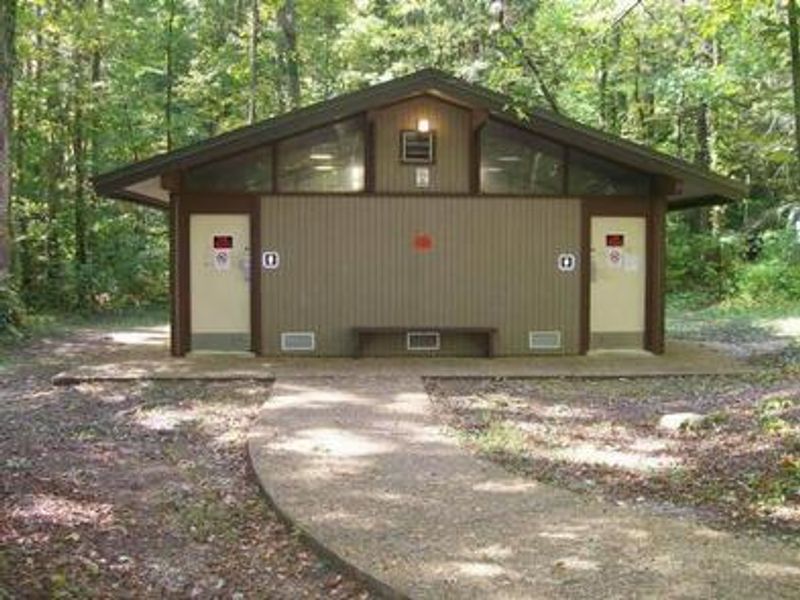
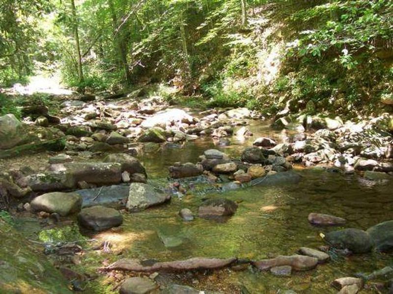
Parksville Lake RV Campground sits in the Cherokee National Forest near the Tennessee-Georgia border, providing convenient access to Parksville Lake and the Ocoee River. The 16 RV sites are well-shaded and generously spaced, with several accommodating larger RVs and some positioned along a small stream. Each site features a picnic table, grill, and lantern post with 30-amp electric hookups available. A centrally located bathhouse offers flush toilets and warm showers, while water hydrants are distributed throughout the campground. An RV dump station is located near the entrance. All food must be stored in bear-proof containers, locked vehicles, or hard-sided campers when not in use. The campground is an ideal base for exploring the area's outdoor recreation. Parksville Lake offers swimming beaches and boat ramps, while the nearby Ocoee Whitewater Center hosted the 1996 Olympic kayaking events. Mountain biking and hiking trails abound throughout the surrounding forest.
Directions
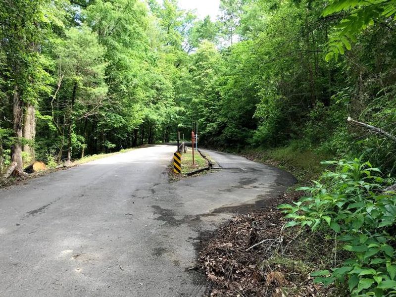
From Highway 64/411 intersection, travel Highway 64 east approximately 9.5 miles, turn onto Highway 30 for 0.25 mile. RV sites are located on the left.
Amenities
| Water | Yes |
| Fires Allowed | Yes |
| Toilets | Yes |
| Dump Station | Yes |
| Wifi | — |
| Pets Allowed | Yes |
| Showers | Yes |
| Electric Hookups | Yes |
| Water Hookups | No |
| Sewer Hookups | No |
| Camp Store | — |
| Price | $20 |
Vehicle
| Max RV Length | — |
| Max Trailer Length | — |
| Big Rig Friendly | Yes |
| Pull Through Sites | No |
Contact
| Phone | +1 (423) 338-3300 |
Cell Service
| AT&T | Yes |
| Verizon | Yes |
| T-Mobile | None |
Availability
Photos
Community Posts
No posts yet. Be the first to share your experience!