Chilhowee Campground
Open seasonally from mid-April through mid-October. Reservations available via Recreation.gov at least 4 days in advance. Some sites are first-come, first-served. Day-use area and overflow camping area remain open year-round.
Campsite limitations
Specific Camping prohibitions1. Camping for more than 14 days in developed and dispersed areas. Camping in anylocation is limited to 14 consecutive days. On the 14th consecutive day, the camper andparty must leave that area/campground for a minimum of seven days before returning foranother stay. If…
Peavine Sheeds Road Closure for repairs
Forest Service begins phased construction to Peavine Sheeds Road, FS 221, south of Parksville Lake in the Ocoee Ranger District. Phase 1 will disrupt access beginning July 16 from 35.0072,-84.6889 to 34.9889, -84.6339 as depicted in the graphic. Major repairs will address storm damage. Marked…
Emergency road closures due to storm damage
The Cherokee National Forest has enacted emergency closures to Hurricane Gap Road (NFSR 31) Closed on Rollins Chapel Road side from Mile Post 1.116 to Mile Post 1.665Dick Creek Road (NFSR 307)In addition HWY 395 is now closed blocking Unaka Mnt. access from Indian Gap.
About
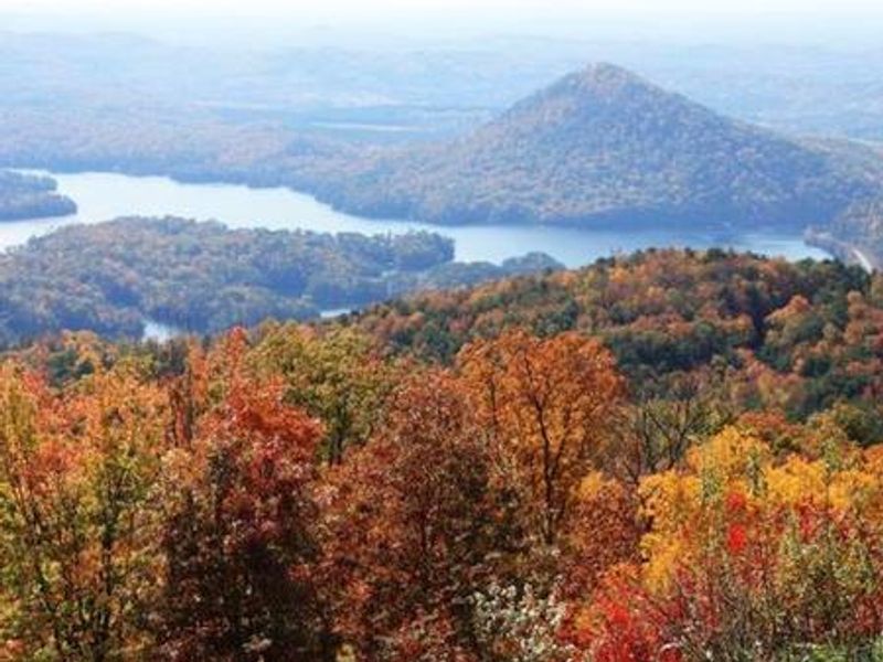
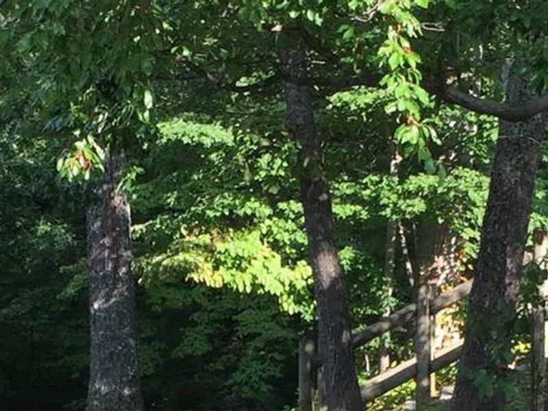
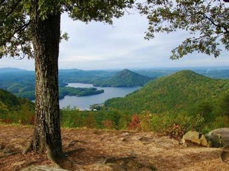
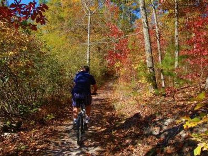
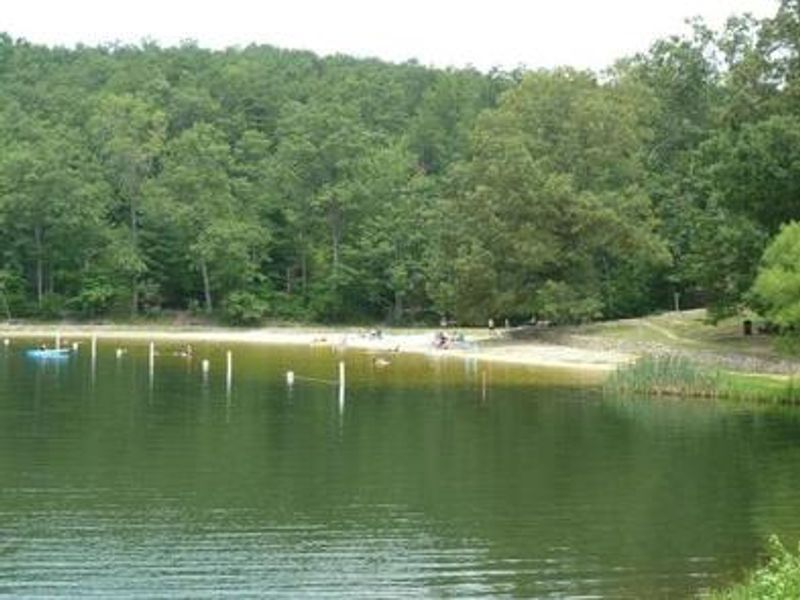
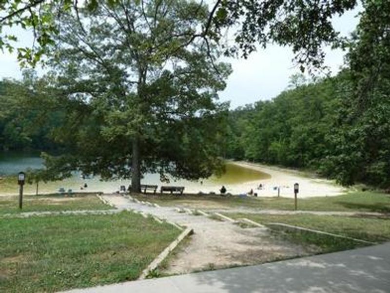
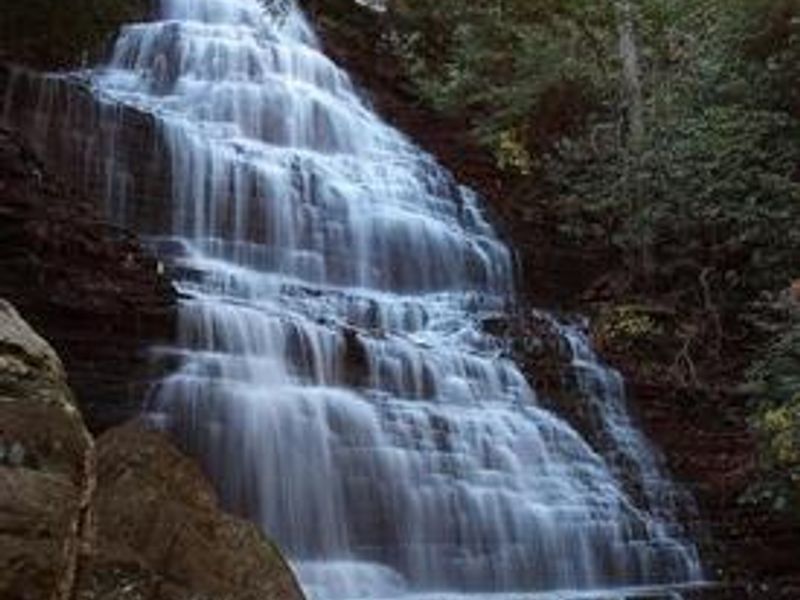
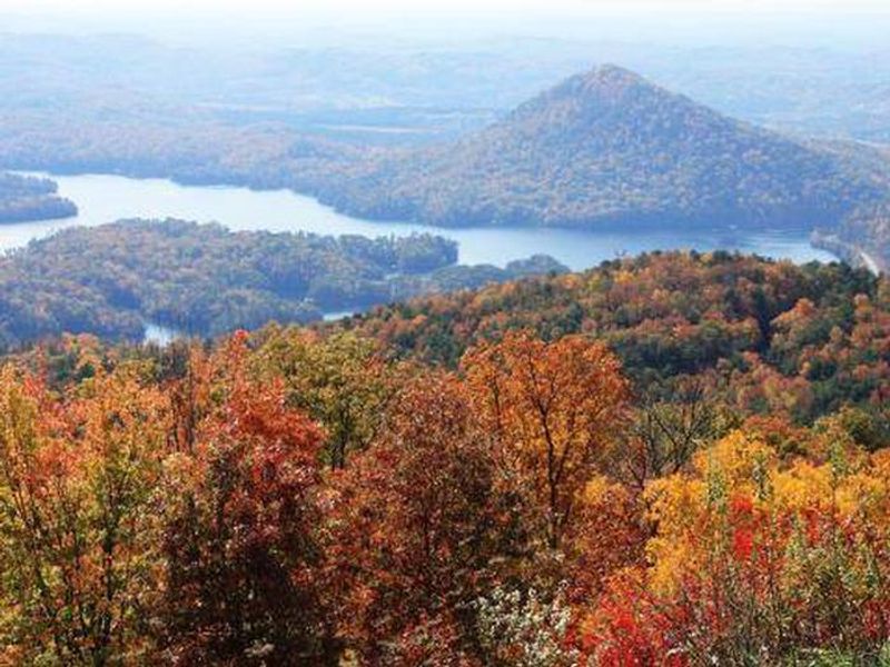
Chilhowee Campground occupies a scenic mountain setting within the Chilhowee Recreation Area of Cherokee National Forest in southeastern Tennessee. The campground provides over 70 sites distributed across six loops (A through F), with a mix of electric and non-electric sites for both tent and RV camping. Each site includes a picnic table, grill, and lantern post. Bathhouses with flush toilets and warm showers are conveniently located in each loop, and an RV dump station is available at the end of E Loop. The recreation area centers on 7-acre McKamy Lake, which offers a swim area with a sand beach and fishing from the bank. Non-motorized boats are permitted. Approximately 25 miles of hiking and mountain biking trails wind through the area, including access to the scenic Benton Falls via a moderate 1.5-mile trail. Wildlife viewing opportunities abound, and several observation overlooks along the access road provide stunning mountain vistas. Access requires a 7-mile drive up Forest Service Road 77 on a narrow, winding mountain road. GPS navigation often misdirects visitors via Benton Springs Road, which is unpaved and hazardous for RVs. Inexperienced RV drivers should exercise caution on the approach road.
Directions
From Highway 64/411 intersection, travel east 7 miles and turn onto Forest Road 77. Drive 7.5 miles to the campground. Do not use GPS directions or Benton Springs Road, which is unpaved and dangerous for RVs.
Amenities
| Water | Yes |
| Fires Allowed | Yes |
| Toilets | Yes |
| Dump Station | Yes |
| Wifi | — |
| Pets Allowed | Yes |
| Showers | Yes |
| Electric Hookups | Yes |
| Water Hookups | No |
| Sewer Hookups | No |
| Camp Store | — |
| Price | $12 - $30 |
Vehicle
| Max RV Length | 90ft |
| Max Trailer Length | 90ft |
| Big Rig Friendly | No |
| Pull Through Sites | No |
Contact
| Phone | +1 (423) 338-3300 |
Cell Service
| AT&T | None |
| Verizon | Yes |
| T-Mobile | None |
Availability
Photos
Community Posts
No posts yet. Be the first to share your experience!