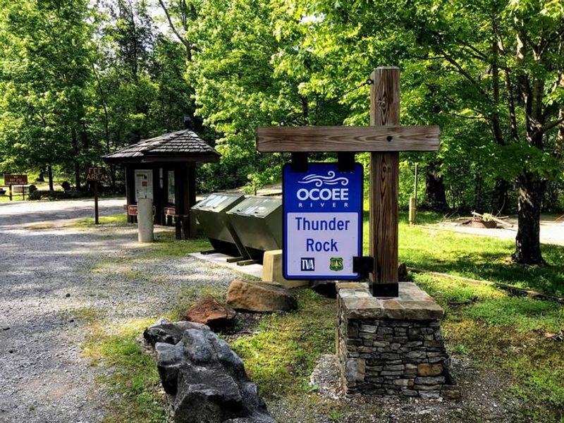
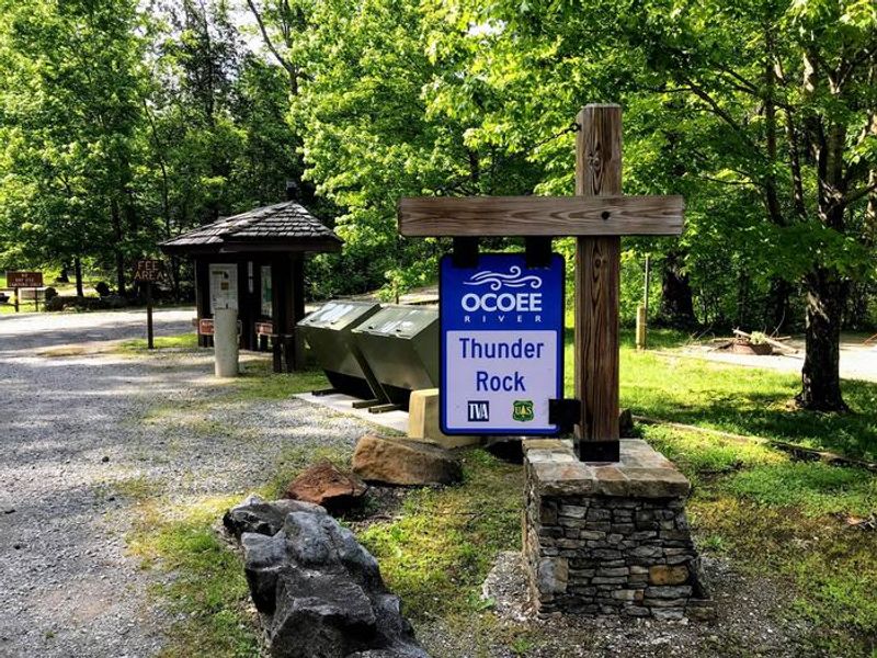
Thunder Rock Campground
Open for camping. Some sites available via Recreation.gov reservations; others are first-come, first-served. Power and water have been restored. Bear-proof food storage required.
High Wind Warning issued October 10 at 2:32AM EDT until October 11 at 8:00AM EDT by NWS Morristown TN
* WHAT...East winds 20 to 35 mph with gusts up to 70 mph expected, especially in the higher elevations. * WHERE...Portions of southwest North Carolina, east Tennessee, and southwest Virginia. * WHEN...Until 8 AM EDT Sunday. * IMPACTS...Damaging winds will blow down trees and power lines. Widespread power outages are expected. Travel will be difficult, especially for high profile vehicles. * ADDITIONAL DETAILS...This set up is likely to produce high winds along the eastern TN mountains and foothills. Lower terrain will likely see lesser impacts.
Flood Watch issued October 10 at 2:31AM EDT until October 11 at 8:00AM EDT by NWS Morristown TN
* WHAT...Flooding caused by excessive rainfall continues to be possible. * WHERE...Portions of southwest North Carolina, including the following areas, Cherokee and Clay and east Tennessee, including the following areas, Bledsoe, Bradley, East Polk, Hamilton, Marion, Meigs, Rhea, Sequatchie and West Polk. * WHEN...Through Sunday morning. * IMPACTS...Excessive runoff may result in flooding of rivers, creeks, streams, and other low-lying and flood-prone locations. Creeks and streams may rise out of their banks. * ADDITIONAL DETAILS... - Hurricane Isaias is expected to bring moderate to heavy rainfall to the area early Saturday morning through early Sunday. Rainfall totals of 1 to 2 inches are expected with locally heavier amounts. High rainfall rates and the potential for repeated rounds of moderate to heavy rain will support the potential of flash flooding. - http://www.weather.gov/safety/flood
Campsite limitations
Specific Camping prohibitions1. Camping for more than 14 days in developed and dispersed areas. Camping in anylocation is limited to 14 consecutive days. On the 14th consecutive day, the camper andparty must leave that area/campground for a minimum of seven days before returning foranother stay. If…
About
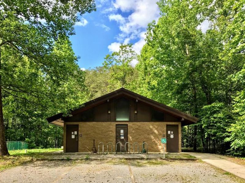
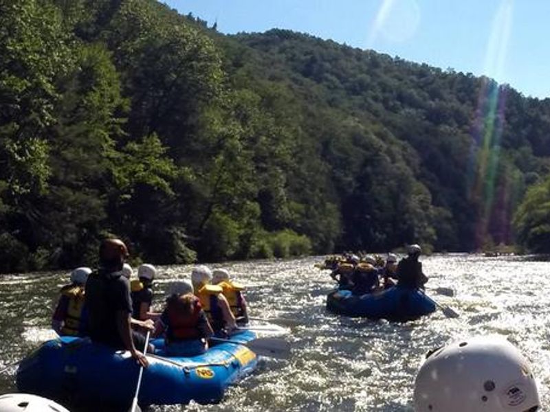
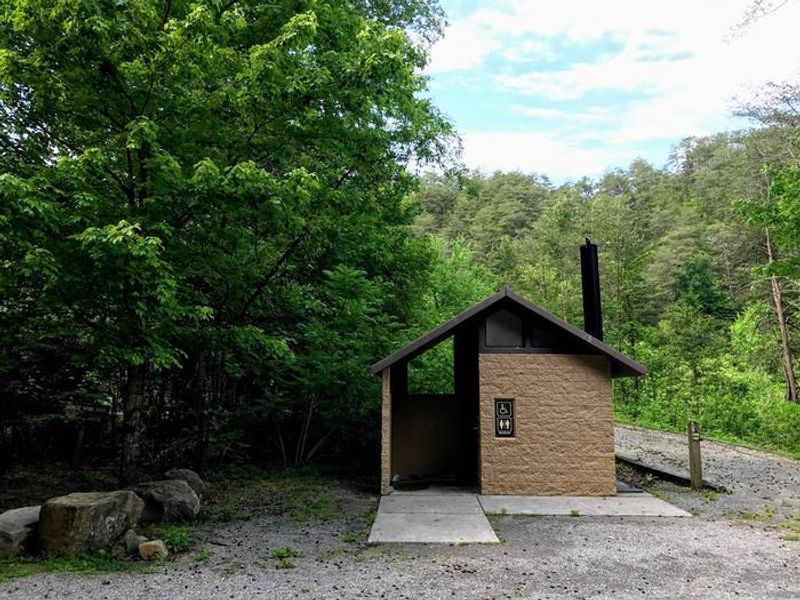
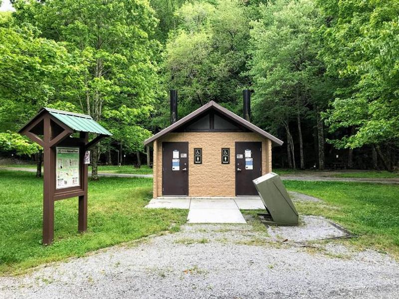
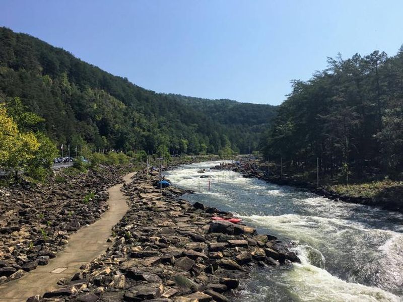
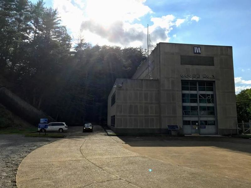
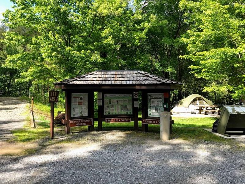
Thunder Rock Campground is nestled along the Ocoee River in Tennessee's Cherokee National Forest, located just behind TVA Ocoee Powerhouse Number 3. The campground offers 37 regular sites for tents, popups, and small RVs (under 20 feet), plus one group site. Only Site 9 provides electric hookups at 30 amp service. Each site includes a picnic table, grill, and lantern post. Bathhouses provide flush toilets and warm showers, with water hydrants located throughout. The location makes Thunder Rock a premier basecamp for whitewater enthusiasts, with the nearby Ocoee River put-in and the Ocoee Whitewater Center just 1.8 miles away. Trail users have direct access to the Tanasi trail system, featuring approximately 30 miles of hiking and mountain biking trails accessible via Thunder Rock Express, Dry Pond Lead, or the Rhododendron Trail. The Benton-McKaye Trail is also accessible from the campground. Bear-resistant food storage is required. Campfires are permitted in grills only. Swimming is not allowed, and alcoholic beverages are prohibited.
Directions
From the Ocoee Ranger Station, turn left onto Highway 64 eastbound and travel 10.9 miles to the TVA Ocoee Powerhouse Number 3. Turn right and cross the bridge to reach the campground on the right.
Amenities
| Water | Yes |
| Fires Allowed | Yes |
| Toilets | Yes |
| Dump Station | — |
| Wifi | — |
| Pets Allowed | Yes |
| Showers | Yes |
| Electric Hookups | Yes |
| Water Hookups | No |
| Sewer Hookups | No |
| Camp Store | — |
| Price | $12 - $20 |
Vehicle
| Max RV Length | 20ft |
| Max Trailer Length | 20ft |
| Big Rig Friendly | No |
| Pull Through Sites | No |
Contact
| Phone | +1 (423) 338-3300 |
Cell Service
| AT&T | Yes |
| Verizon | None |
| T-Mobile | None |
Availability
Photos
Community Posts
No posts yet. Be the first to share your experience!