Open for the season. The campground operates late April or early May through the first week of November and is closed during winter months. Some sites are reservable through Recreation.gov while others are first-come, first-served. A Big Pines Pass from Mountain High Resort is required; Adventure Pass and Interagency Passes are not accepted.
Extreme Heat Watch issued July 20 at 12:26PM PDT until July 27 at 8:00PM PDT by NWS Los Angeles/Oxnard CA
* WHAT...For the Heat Advisory, temperatures between 93 to 103 expected. For the Extreme Heat Watch, dangerously hot conditions with temperatures between 97 and 107 possible. * WHERE...A portion of southwest California. * WHEN...For the Heat Advisory, from 10 AM to 8 PM PDT Wednesday. For the Extreme Heat Watch, from Wednesday evening through Monday evening. * IMPACTS...There is a high risk for dangerous heat illness for anyone, especially for the very young, the very old, those without air conditioning, and those active outdoors. There is a high risk for heat illness for sensitive populations including the very young, the very old, those without air conditioning, and those active outdoors.
Heat Advisory issued July 20 at 12:26PM PDT until July 22 at 8:00PM PDT by NWS Los Angeles/Oxnard CA
* WHAT...For the Heat Advisory, temperatures between 93 to 103 expected. For the Extreme Heat Watch, dangerously hot conditions with temperatures between 97 and 107 possible. * WHERE...A portion of southwest California. * WHEN...For the Heat Advisory, from 10 AM to 8 PM PDT Wednesday. For the Extreme Heat Watch, from Wednesday evening through Monday evening. * IMPACTS...There is a high risk for dangerous heat illness for anyone, especially for the very young, the very old, those without air conditioning, and those active outdoors. There is a high risk for heat illness for sensitive populations including the very young, the very old, those without air conditioning, and those active outdoors.
National Forest System Roads
Follow California Vehicle Code on National Forest System Roads
About
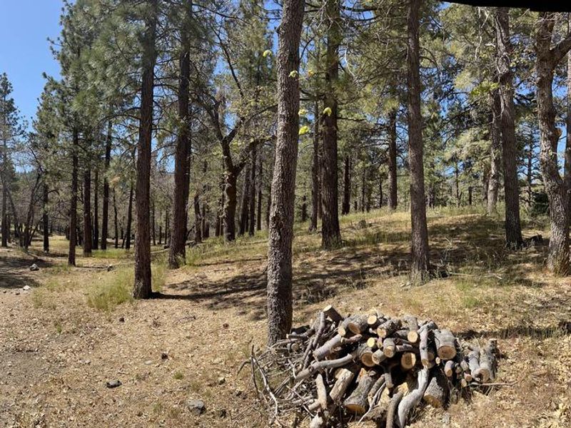
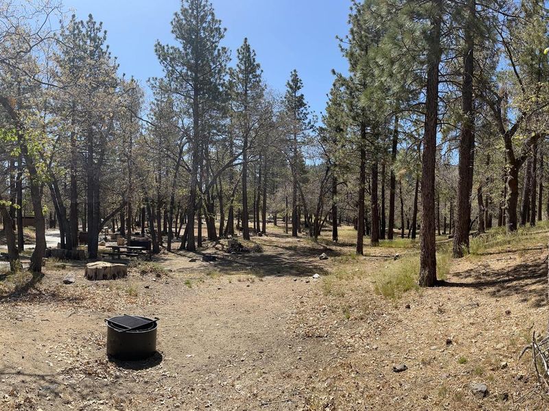
Mountain Oak Campground offers a peaceful retreat in the Angeles National Forest, just northwest of the Los Angeles metro area. Situated at 6,200 feet elevation in the San Gabriel Mountains, the campground is shaded by oak, ponderosa, and sugar pines. The 17 sites are equipped with picnic tables, fire pits, and bear-proof food containers, with flush toilets and potable water from a hand pump available on site. The campground provides convenient access to Jackson Lake, a 3-acre lake formed by the San Andreas fault and stocked with trout and bluegill. Powerboating is prohibited, making it ideal for peaceful swimming, canoeing, and fishing. Hikers can access trails near the campground, including portions of the Blue Ridge Trail and the Pacific Crest Trail. The campground is operated by Mountain High Resort and requires a Big Pines Pass for parking; Adventure Passes and Interagency Passes are not accepted. Groceries and services are available in Wrightwood, approximately 8 miles away. The nearby ski resort town of Wrightwood also offers restaurants and recreational activities.
Directions
From Wrightwood, take CA State Route 2 west 2.4 miles to the Palmdale/Jackson Lake sign at County Route N4 (Big Pines Highway). Turn right onto N4 and continue 3.1 miles. The campground entrance is on the right.
Amenities
| Water | Yes |
| Fires Allowed | Yes |
| Toilets | Yes |
| Dump Station | — |
| Wifi | — |
| Pets Allowed | Yes |
| Showers | No |
| Electric Hookups | — |
| Water Hookups | — |
| Sewer Hookups | — |
| Camp Store | No |
| Price | $30 |
Vehicle
| Max RV Length | 38ft |
| Max Trailer Length | 38ft |
| Big Rig Friendly | No |
| Pull Through Sites | No |
Contact
| Phone | +1 (760) 316-7828 |
Cell Service
| AT&T | None |
| Verizon | Yes |
| T-Mobile | None |
Availability
Photos

Community Posts
No posts yet. Be the first to share your experience!